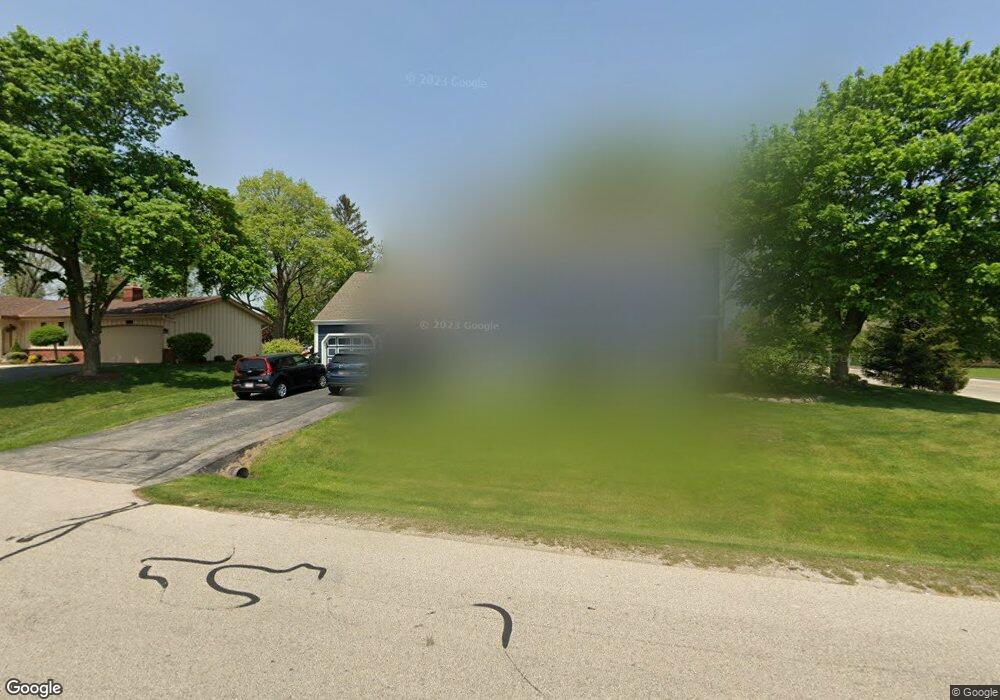
5510 Independence Rd Mount Pleasant, WI 53406
Estimated Value: $467,729 - $493,000
3
Beds
4
Baths
2,234
Sq Ft
$213/Sq Ft
Est. Value
About This Home
This home is located at 5510 Independence Rd, Mount Pleasant, WI 53406 and is currently estimated at $475,682, approximately $212 per square foot. 5510 Independence Rd is a home located in Racine County with nearby schools including Gifford Elementary School, Park High School, and Racine Christian School.
Ownership History
Date
Name
Owned For
Owner Type
Purchase Details
Closed on
Jul 11, 2005
Sold by
King Robert D and King Justine R
Bought by
Charon James W and Charon Janet M
Current Estimated Value
Home Financials for this Owner
Home Financials are based on the most recent Mortgage that was taken out on this home.
Original Mortgage
$48,000
Outstanding Balance
$24,122
Interest Rate
5.68%
Mortgage Type
Future Advance Clause Open End Mortgage
Estimated Equity
$451,560
Create a Home Valuation Report for This Property
The Home Valuation Report is an in-depth analysis detailing your home's value as well as a comparison with similar homes in the area
Home Values in the Area
Average Home Value in this Area
Purchase History
| Date | Buyer | Sale Price | Title Company |
|---|---|---|---|
| Charon James W | $240,000 | -- |
Source: Public Records
Mortgage History
| Date | Status | Borrower | Loan Amount |
|---|---|---|---|
| Open | Charon James W | $48,000 | |
| Open | Charon James W | $192,000 |
Source: Public Records
Tax History
| Year | Tax Paid | Tax Assessment Tax Assessment Total Assessment is a certain percentage of the fair market value that is determined by local assessors to be the total taxable value of land and additions on the property. | Land | Improvement |
|---|---|---|---|---|
| 2025 | $7,332 | $468,100 | $55,500 | $412,600 |
| 2024 | $6,847 | $437,100 | $55,500 | $381,600 |
| 2023 | $6,473 | $402,100 | $52,000 | $350,100 |
| 2022 | $6,166 | $379,200 | $52,000 | $327,200 |
| 2021 | $6,310 | $345,900 | $47,300 | $298,600 |
| 2020 | $288 | $280,400 | $47,300 | $233,100 |
| 2019 | $5,020 | $280,400 | $47,300 | $233,100 |
| 2018 | $4,693 | $243,700 | $36,300 | $207,400 |
| 2017 | $4,426 | $225,800 | $36,300 | $189,500 |
| 2016 | $4,235 | $204,100 | $36,300 | $167,800 |
| 2015 | $4,194 | $204,100 | $36,300 | $167,800 |
| 2014 | $3,961 | $204,100 | $36,300 | $167,800 |
| 2013 | $4,201 | $204,100 | $36,300 | $167,800 |
Source: Public Records
Map
Nearby Homes
- 5357 Independence Rd
- 5359 Independence Rd
- 1927 Independence Way
- 1929 Independence Way
- 5701 Cambridge Cir Unit 5
- 5720 Cambridge Cir Unit 1
- 5742 Cambridge Cir Unit 5
- 5835 Cambridge Cir Unit 1
- 5740 Cambridge Ln Unit 3
- 2235 N Newman Rd
- 2101 N Emmertsen Rd
- 6147 Carriage Hills Dr
- Lt 12 Shirley Ave
- Lt 8 Shirley Ave
- Lt 13 Shirley Ave
- Lt 9 Shirley Ave
- 2536 Green Haze Ave
- 5631 Freedy Ave
- 1315 N Sunnyslope Dr Unit 202
- 1203 N Sunnyslope Dr Unit 204
- 5524 Independence Rd
- 1834 Newman Rd
- 1749 Redcoat Dr
- 5540 Independence Rd
- 5539 Mount Vernon Way
- 5539 Independence Rd
- 1737 Redcoat Dr
- 5601 Mount Vernon Way
- 1914 Newman Rd
- 5604 Independence Rd
- 1736 Redcoat Dr
- 5540 Mount Vernon Way
- 5611 Independence Rd
- 1725 Redcoat Dr
- 5618 Independence Rd
- 5623 Mount Vernon Way
- 1724 Redcoat Dr
- 5600 Mount Vernon Way
- 1924 Newman Rd
- 1924 Newman Road North Rd N
Your Personal Tour Guide
Ask me questions while you tour the home.