5510 Schenk Rd Sandusky, OH 44870
Estimated Value: $333,000 - $451,000
4
Beds
3
Baths
2,800
Sq Ft
$146/Sq Ft
Est. Value
About This Home
This home is located at 5510 Schenk Rd, Sandusky, OH 44870 and is currently estimated at $407,890, approximately $145 per square foot. 5510 Schenk Rd is a home located in Erie County with nearby schools including Furry Elementary School, Meadowlawn Elementary School, and Briar Middle School.
Ownership History
Date
Name
Owned For
Owner Type
Purchase Details
Closed on
Jun 18, 2021
Sold by
Steinmetz Charles P and Steinmetz Wendy M
Bought by
Steinmetz Charles P and Steinmetz Wendy Lm
Current Estimated Value
Purchase Details
Closed on
Sep 5, 2005
Sold by
Cooper Marsha D
Bought by
Steinmetz Charles P and Steinmetz Wendy M
Home Financials for this Owner
Home Financials are based on the most recent Mortgage that was taken out on this home.
Original Mortgage
$231,000
Outstanding Balance
$123,353
Interest Rate
5.82%
Mortgage Type
New Conventional
Estimated Equity
$284,537
Create a Home Valuation Report for This Property
The Home Valuation Report is an in-depth analysis detailing your home's value as well as a comparison with similar homes in the area
Home Values in the Area
Average Home Value in this Area
Purchase History
| Date | Buyer | Sale Price | Title Company |
|---|---|---|---|
| Steinmetz Charles P | -- | None Available | |
| Steinmetz Charles P | $265,000 | Hartung Title Order |
Source: Public Records
Mortgage History
| Date | Status | Borrower | Loan Amount |
|---|---|---|---|
| Open | Steinmetz Charles P | $231,000 |
Source: Public Records
Tax History
| Year | Tax Paid | Tax Assessment Tax Assessment Total Assessment is a certain percentage of the fair market value that is determined by local assessors to be the total taxable value of land and additions on the property. | Land | Improvement |
|---|---|---|---|---|
| 2024 | $5,488 | $121,743 | $20,261 | $101,482 |
| 2023 | $5,587 | $99,809 | $15,379 | $84,430 |
| 2022 | $5,619 | $99,823 | $15,379 | $84,444 |
| 2021 | $5,638 | $100,270 | $15,380 | $84,890 |
| 2020 | $4,937 | $88,540 | $15,380 | $73,160 |
| 2019 | $5,080 | $88,540 | $15,380 | $73,160 |
| 2018 | $5,083 | $88,540 | $15,380 | $73,160 |
| 2017 | $4,779 | $81,060 | $18,670 | $62,390 |
| 2016 | $4,175 | $81,060 | $18,670 | $62,390 |
| 2015 | $4,101 | $81,060 | $18,670 | $62,390 |
| 2014 | $4,297 | $84,030 | $18,670 | $65,360 |
| 2013 | $4,007 | $84,030 | $18,670 | $65,360 |
Source: Public Records
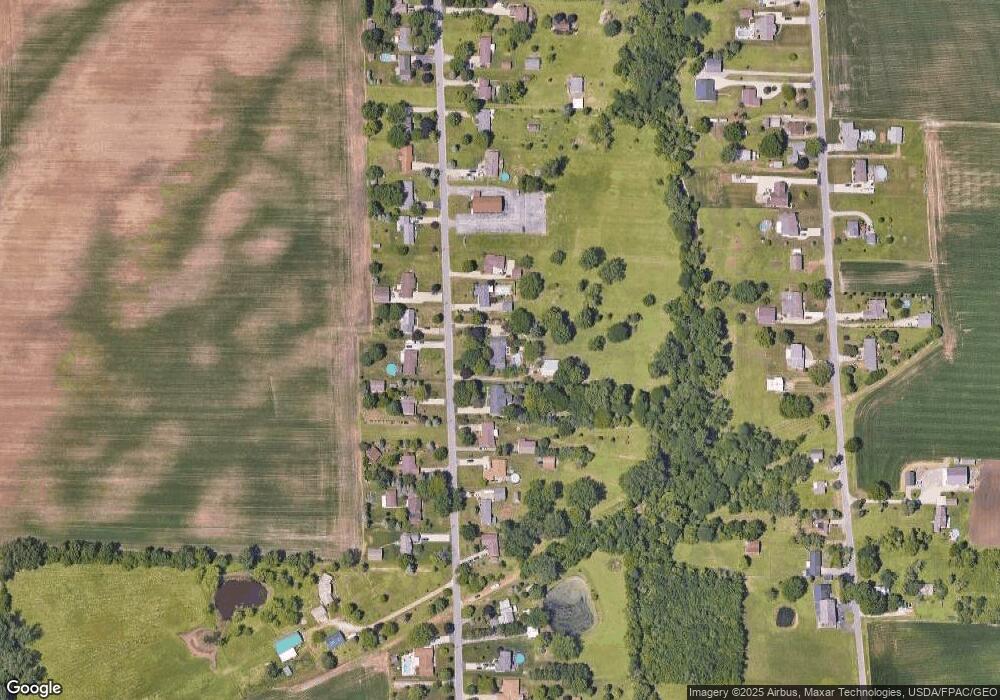
Map
Nearby Homes
- 5420 Schenk Rd
- 1315 S Lake Wilmer Dr Unit 109
- 1305 S Lake Wilmer Dr Unit 207
- 612 Helina Dr
- 3712 Matthes Ave
- 301 Schiller Ave
- 4923 Lisbon Cir
- 0 Us Rte 250 Unit 5105465
- 0 Us Rte 250 Unit 20250774
- 0 Us Rte 250 Unit 9066254
- 6291 Zachary Ln
- 38 Zachary Ln
- 0 Zachary Ln
- 21 Zachary Ln
- 32 Zachary Ln
- 40 Zachary Ln
- 28 Zachary Ln
- 3 Zachary Ln
- 22 Zachary Ln
- 6378 Zachary Ln
Your Personal Tour Guide
Ask me questions while you tour the home.