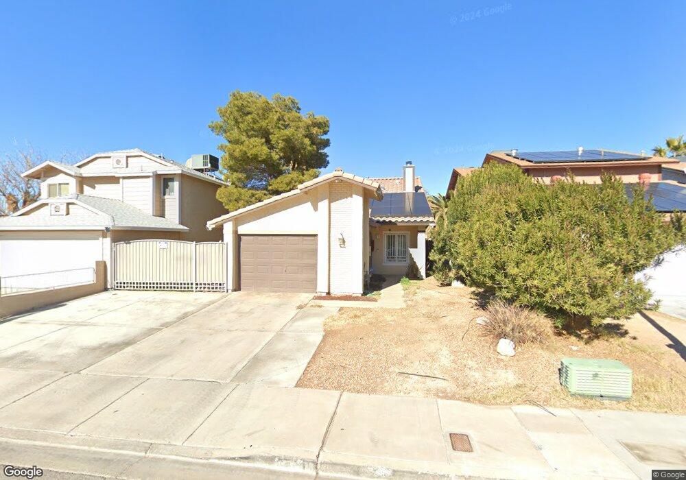
5510 White Cap St Las Vegas, NV 89110
Estimated Value: $304,000 - $361,000
2
Beds
2
Baths
1,265
Sq Ft
$262/Sq Ft
Est. Value
About This Home
This home is located at 5510 White Cap St, Las Vegas, NV 89110 and is currently estimated at $330,887, approximately $261 per square foot. 5510 White Cap St is a home located in Clark County with nearby schools including Kirk Adams Elementary School, Duane D. Keller Middle School, and Eldorado High School.
Ownership History
Date
Name
Owned For
Owner Type
Purchase Details
Closed on
Oct 28, 2015
Sold by
Avalos Castaneda Maria Martha and Avalos Maria Martha
Bought by
Parra Hernandez Luis E and Avalos Castaneda Maria Martha
Current Estimated Value
Purchase Details
Closed on
Feb 4, 2011
Sold by
Parra Luis
Bought by
Avalos Maria Martha
Purchase Details
Closed on
Feb 2, 2011
Sold by
Netter Susie Mae
Bought by
Parra Luis
Purchase Details
Closed on
Mar 11, 1997
Sold by
Arellano Carlos and Arellano Marisa
Bought by
Netter Susie Mae
Create a Home Valuation Report for This Property
The Home Valuation Report is an in-depth analysis detailing your home's value as well as a comparison with similar homes in the area
Home Values in the Area
Average Home Value in this Area
Purchase History
| Date | Buyer | Sale Price | Title Company |
|---|---|---|---|
| Parra Hernandez Luis E | -- | None Available | |
| Avalos Maria Martha | -- | National Title Company | |
| Parra Luis | $55,100 | National Title Company | |
| Netter Susie Mae | $24,000 | Fidelity National Title |
Source: Public Records
Tax History Compared to Growth
Tax History
| Year | Tax Paid | Tax Assessment Tax Assessment Total Assessment is a certain percentage of the fair market value that is determined by local assessors to be the total taxable value of land and additions on the property. | Land | Improvement |
|---|---|---|---|---|
| 2025 | $722 | $50,015 | $23,450 | $26,565 |
| 2024 | $968 | $50,015 | $23,450 | $26,565 |
| 2023 | $968 | $51,456 | $25,550 | $25,906 |
| 2022 | $992 | $43,913 | $19,950 | $23,963 |
| 2021 | $671 | $42,375 | $19,250 | $23,125 |
| 2020 | $620 | $40,753 | $17,500 | $23,253 |
| 2019 | $581 | $37,203 | $14,000 | $23,203 |
| 2018 | $555 | $34,665 | $12,250 | $22,415 |
| 2017 | $980 | $33,413 | $10,500 | $22,913 |
| 2016 | $521 | $31,898 | $8,400 | $23,498 |
| 2015 | $518 | $27,391 | $6,300 | $21,091 |
| 2014 | $502 | $22,102 | $3,850 | $18,252 |
Source: Public Records
Map
Nearby Homes
- 5564 Orchard Ln Unit 133
- 147 N Christy Ln
- 5583 Orchard Ln Unit 152
- 5600 Orchard Ln
- 280 Sir Phillip St
- 5330 E Charleston Blvd Unit 2
- 5330 E Charleston Blvd Unit 113
- 332 Sir Jeffery Cir
- 360 Sir Richard Dr E
- 140 Sir David Way
- 0 E Charleston Blvd
- 153 Sir Thomas Dr
- 179 Sir George Dr
- 1200 Pleasant Brook St
- 136 Sir George Dr
- 5794 Sea Breeze Ave
- 316 Linn Ln
- 1361 Elaine Dr
- 262 Solicito St
- 130 Bel Port Dr Unit 133
- 5516 White Cap St
- 5504 White Cap St
- 5522 White Cap St
- 5511 Big Sea St
- 5517 Big Sea St
- 5505 Big Sea St
- 5528 White Cap St
- 5523 Big Sea St
- 5509 White Cap St
- 5529 Big Sea St
- 5534 White Cap St
- 5515 White Cap St
- 5503 White Cap St
- 5521 White Cap St
- 5535 Big Sea St
- 5527 White Cap St
- 5540 White Cap St
- 123 N Christy Ln
- 127 N Christy Ln
- 119 N Christy Ln