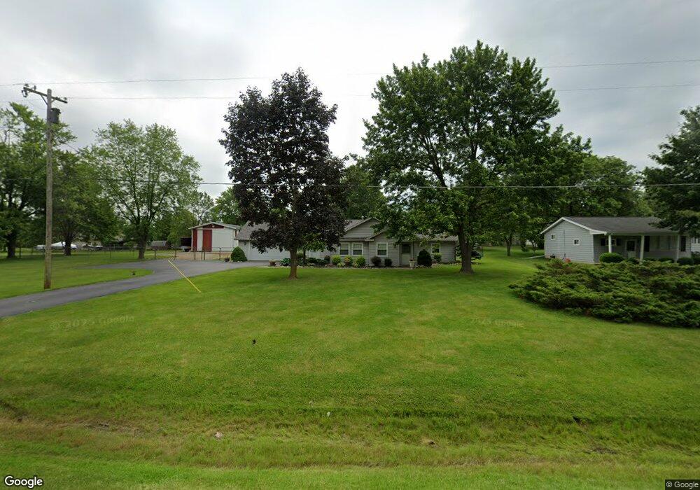
5511 Howe Rd Grand Blanc, MI 48439
Estimated Value: $205,000 - $317,000
4
Beds
3
Baths
2,339
Sq Ft
$118/Sq Ft
Est. Value
About This Home
This home is located at 5511 Howe Rd, Grand Blanc, MI 48439 and is currently estimated at $276,827, approximately $118 per square foot. 5511 Howe Rd is a home located in Genesee County with nearby schools including Brendel Elementary School, Grand Blanc West Middle School, and Grand Blanc High School.
Ownership History
Date
Name
Owned For
Owner Type
Purchase Details
Closed on
Jun 20, 2012
Sold by
Harding Curt I and Harding Terri M
Bought by
Harding Terri M
Current Estimated Value
Purchase Details
Closed on
Jun 25, 2007
Sold by
Harding Curt Ian
Bought by
Harding Terri M
Purchase Details
Closed on
Sep 19, 2002
Sold by
Harding Terri M
Bought by
Harding Curt I and Harding Terri M
Purchase Details
Closed on
Nov 7, 2000
Sold by
Decross Douglas Mark and Decross Maureen Star
Bought by
Harding Terri M
Create a Home Valuation Report for This Property
The Home Valuation Report is an in-depth analysis detailing your home's value as well as a comparison with similar homes in the area
Home Values in the Area
Average Home Value in this Area
Purchase History
| Date | Buyer | Sale Price | Title Company |
|---|---|---|---|
| Harding Terri M | -- | None Available | |
| Harding Terri M | -- | None Available | |
| Harding Curt I | -- | -- | |
| Harding Terri M | $110,000 | Sargents Title Company |
Source: Public Records
Tax History Compared to Growth
Tax History
| Year | Tax Paid | Tax Assessment Tax Assessment Total Assessment is a certain percentage of the fair market value that is determined by local assessors to be the total taxable value of land and additions on the property. | Land | Improvement |
|---|---|---|---|---|
| 2025 | $3,417 | $135,700 | $0 | $0 |
| 2024 | $1,991 | $128,900 | $0 | $0 |
| 2023 | $1,900 | $86,700 | $0 | $0 |
| 2022 | $3,037 | $80,200 | $0 | $0 |
| 2021 | $2,990 | $92,800 | $0 | $0 |
| 2020 | $1,752 | $89,100 | $0 | $0 |
| 2019 | $1,726 | $86,200 | $0 | $0 |
| 2018 | $2,761 | $78,100 | $0 | $0 |
| 2017 | $2,629 | $76,800 | $0 | $0 |
| 2016 | $2,597 | $63,900 | $0 | $0 |
| 2015 | $2,609 | $67,400 | $0 | $0 |
| 2012 | -- | $72,300 | $72,300 | $0 |
Source: Public Records
Map
Nearby Homes
- 5538 Liberty Bell Rd
- 0 Daniel Dr
- 6128 Cold Spring Trail
- 4328 Oak St
- 4320 Oak St
- 5280 Northwood Rd Unit 86
- 4311 Oak St
- 4286 Oak St
- 5555 E Hill Rd
- 4278 Oak St
- 3.29(+/-) Acres E Hill Rd
- 4294 Oak St
- Brooklyn Plan at Cambridge Park
- Peyton Plan at Cambridge Park
- Sawyer Plan at Cambridge Park
- Juliet Plan at Cambridge Park
- The Dover Plan at Cambridge Park
- The Everest Plan at Cambridge Park
- The Dawson Plan at Cambridge Park
- The Concord Plan at Cambridge Park
- 5523 Howe Rd
- 5491 Howe Rd
- 5518 Robin Dr
- 5508 Robin Dr
- 4298 Meadowlark Dr
- 5526 Robin Dr
- 5529 Howe Rd
- 5494 Robin Dr
- 5536 Robin Dr
- 4275 Meadowlark Dr
- 4299 Meadowlark Dr
- 4309 Meadowlark Dr
- 5513 Robin Dr
- 5521 Robin Dr
- 4249 E Hill Rd Unit Bldg-Unit
- 4249 E Hill Rd
- 5499 Robin Dr
- 5489 Robin Dr
- 5539 Robin Dr
- 4229 E Hill Rd