5511 S Crop Cir Bloomington, IN 47403
Estimated Value: $648,000 - $694,000
4
Beds
4
Baths
5,120
Sq Ft
$133/Sq Ft
Est. Value
About This Home
This home is located at 5511 S Crop Cir, Bloomington, IN 47403 and is currently estimated at $678,449, approximately $132 per square foot. 5511 S Crop Cir is a home located in Monroe County with nearby schools including Clear Creek Elementary School, Lora L. Batchelor Middle School, and Bloomington High School South.
Ownership History
Date
Name
Owned For
Owner Type
Purchase Details
Closed on
Sep 10, 2009
Sold by
Headdy Robert M
Bought by
Klaiber Chad Michael and Klaiber Sarah Whitney
Current Estimated Value
Home Financials for this Owner
Home Financials are based on the most recent Mortgage that was taken out on this home.
Original Mortgage
$289,750
Outstanding Balance
$190,264
Interest Rate
5.27%
Mortgage Type
New Conventional
Estimated Equity
$488,185
Purchase Details
Closed on
Nov 1, 2006
Sold by
Langston Scott and Langston Stacy
Bought by
Headdy Robert M
Home Financials for this Owner
Home Financials are based on the most recent Mortgage that was taken out on this home.
Original Mortgage
$264,310
Interest Rate
6.45%
Mortgage Type
Future Advance Clause Open End Mortgage
Purchase Details
Closed on
Jul 6, 2006
Sold by
Eastro Llc
Bought by
Langston Scott and Langston Stacy
Create a Home Valuation Report for This Property
The Home Valuation Report is an in-depth analysis detailing your home's value as well as a comparison with similar homes in the area
Home Values in the Area
Average Home Value in this Area
Purchase History
| Date | Buyer | Sale Price | Title Company |
|---|---|---|---|
| Klaiber Chad Michael | -- | None Available | |
| Headdy Robert M | -- | None Available | |
| Langston Scott | -- | None Available |
Source: Public Records
Mortgage History
| Date | Status | Borrower | Loan Amount |
|---|---|---|---|
| Open | Klaiber Chad Michael | $289,750 | |
| Previous Owner | Headdy Robert M | $264,310 |
Source: Public Records
Tax History Compared to Growth
Tax History
| Year | Tax Paid | Tax Assessment Tax Assessment Total Assessment is a certain percentage of the fair market value that is determined by local assessors to be the total taxable value of land and additions on the property. | Land | Improvement |
|---|---|---|---|---|
| 2024 | $4,590 | $560,000 | $81,800 | $478,200 |
| 2023 | $4,609 | $560,400 | $81,800 | $478,600 |
| 2022 | $4,278 | $514,600 | $80,400 | $434,200 |
| 2021 | $3,809 | $450,900 | $65,400 | $385,500 |
| 2020 | $3,378 | $388,300 | $54,500 | $333,800 |
| 2019 | $2,855 | $382,400 | $54,500 | $327,900 |
| 2018 | $2,796 | $371,400 | $54,500 | $316,900 |
| 2017 | $2,870 | $380,300 | $53,200 | $327,100 |
| 2016 | $2,744 | $371,500 | $53,200 | $318,300 |
| 2014 | $2,716 | $372,500 | $48,200 | $324,300 |
Source: Public Records
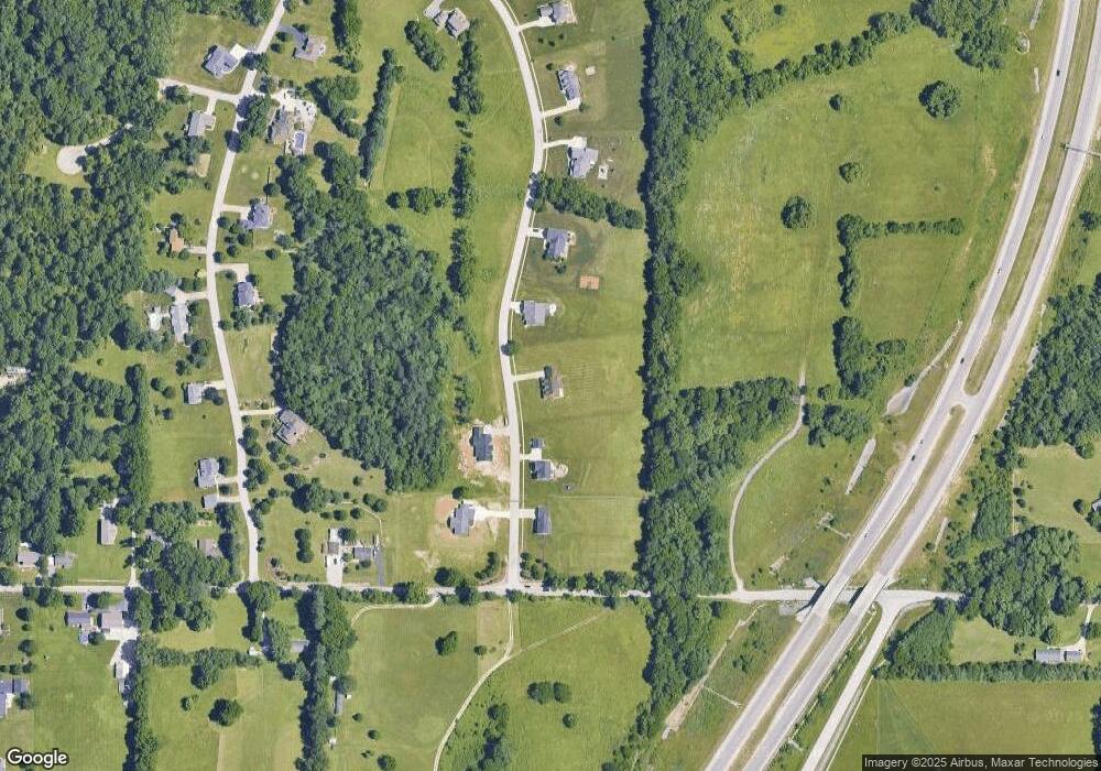
Map
Nearby Homes
- 5439 S Farmers Dr
- 5422 S Chalmers Ct
- 5415 S Chalmers Ct
- 3333 W Cockrell Rd
- 1730 W Jeremy Dr
- 5638 S Nature Trail Dr
- 4330 S Rockport Rd
- 4313 W Moss Ln
- 4323 W Moss Ln
- 4070 S Rockport Rd
- 6670 S Old State Road 37
- 4171 S Monroe Medical Park Blvd
- 935 W Baywood Dr
- 925 W Baywood Dr
- 4315 S Falcon Dr
- 5920 S Phyllis St
- 5912 S Charlie Ave
- 4244 S Falcon Dr
- 4330 S Clearview Ct
- 3901 S Bushmill Dr
- 5505 S Crop Cir
- 5505 S Crop Cir
- 5527 S Crop Cir
- 5527 S Crop Cir
- 5510 S Crop Cir
- 5526 S Crop Cir
- 5526 S Crop Cir
- 5499 S Crop Cir
- 5499 S Crop Cir
- 5504 S Crop Cir
- 5539 S Crop Cir
- 5539 S Crop Cir
- 5538 S Crop Cir
- 5538 S Crop Cir
- 5498 S Crop Cir
- 5498 S Crop Cir
- 5487 S Crop Cir
- 5486 S Crop Cir Unit 36
- 5486 S Crop Cir
- 5486 S Crop Cir Unit 36