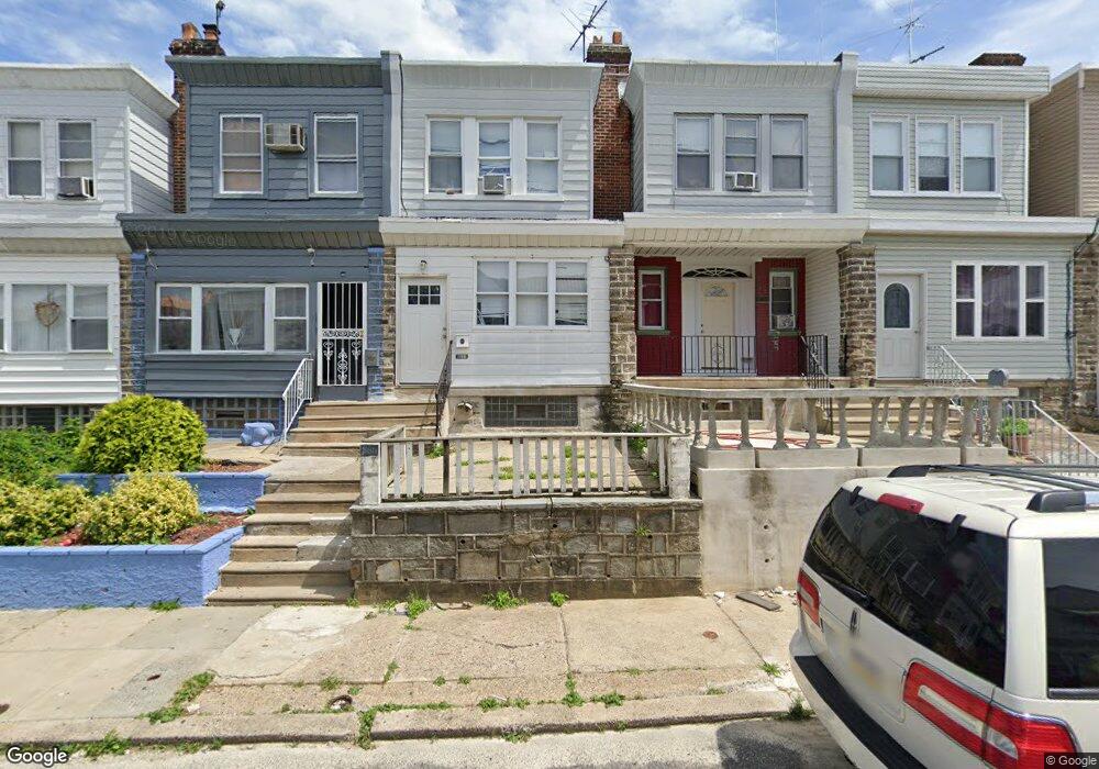
5511 Westford Rd Philadelphia, PA 19120
Olney NeighborhoodEstimated Value: $179,000 - $194,000
3
Beds
2
Baths
1,140
Sq Ft
$164/Sq Ft
Est. Value
About This Home
This home is located at 5511 Westford Rd, Philadelphia, PA 19120 and is currently estimated at $187,011, approximately $164 per square foot. 5511 Westford Rd is a home located in Philadelphia County with nearby schools including Olney Elementary School, University Creighton Charter School, and Olney Charter High School.
Ownership History
Date
Name
Owned For
Owner Type
Purchase Details
Closed on
Apr 24, 2000
Sold by
Tsang Pak Lok and Tsang Chui Ha Yu
Bought by
Archer Rohail
Current Estimated Value
Home Financials for this Owner
Home Financials are based on the most recent Mortgage that was taken out on this home.
Original Mortgage
$34,000
Outstanding Balance
$11,632
Interest Rate
8.21%
Estimated Equity
$175,379
Create a Home Valuation Report for This Property
The Home Valuation Report is an in-depth analysis detailing your home's value as well as a comparison with similar homes in the area
Home Values in the Area
Average Home Value in this Area
Purchase History
| Date | Buyer | Sale Price | Title Company |
|---|---|---|---|
| Archer Rohail | $36,000 | -- |
Source: Public Records
Mortgage History
| Date | Status | Borrower | Loan Amount |
|---|---|---|---|
| Open | Archer Rohail | $34,000 |
Source: Public Records
Tax History Compared to Growth
Tax History
| Year | Tax Paid | Tax Assessment Tax Assessment Total Assessment is a certain percentage of the fair market value that is determined by local assessors to be the total taxable value of land and additions on the property. | Land | Improvement |
|---|---|---|---|---|
| 2025 | $1,730 | $167,400 | $33,480 | $133,920 |
| 2024 | $1,730 | $167,400 | $33,480 | $133,920 |
| 2023 | $1,730 | $123,600 | $24,720 | $98,880 |
| 2022 | $1,730 | $123,600 | $24,720 | $98,880 |
| 2021 | $1,338 | $0 | $0 | $0 |
| 2020 | $1,338 | $0 | $0 | $0 |
| 2019 | $1,244 | $0 | $0 | $0 |
| 2018 | $1,424 | $0 | $0 | $0 |
| 2017 | $1,424 | $0 | $0 | $0 |
| 2016 | $1,424 | $0 | $0 | $0 |
| 2015 | $1,363 | $0 | $0 | $0 |
| 2014 | -- | $101,700 | $7,128 | $94,572 |
| 2012 | -- | $11,232 | $984 | $10,248 |
Source: Public Records
Map
Nearby Homes
- 5516 Westford Rd
- 5441 Westford Rd
- 5600 Arbor St
- 318 E Gale St
- 316 R E Clarkson Ave Unit 4
- 5539 B St
- 565 E Tabor Rd
- 5212 D St
- 220 E Tabor Rd
- 678 Adams Ave
- 5157 C St
- 5413 N Front St
- 712 Mayfair St
- 734 Landis St
- 736 Landis St
- 728 Mayfair St
- 127 E Wellens Ave
- 5166 Monturs St
- 786 Smylie Rd
- 342 E Sheldon St
- 5513 Westford Rd
- 5509 Westford Rd
- 5507 Westford Rd
- 5515R Westford Rd
- 5517R Westford Rd
- 5505 Westford Rd
- 5503 Westford Rd
- 5519 Westford Rd
- 521 E Clarkson Ave
- 5521 Westford Rd
- 5501 Westford Rd
- 523 E Clarkson Ave
- 525 E Clarkson Ave
- 5523 Westford Rd
- 527 E Clarkson Ave
- 5525 Westford Rd
- 529 E Clarkson Ave
- 5518 Westford Rd
- 5527 Westford Rd
- 5508 Westford Rd