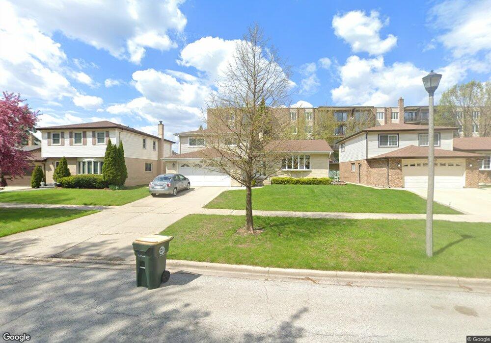
5512 Main (Not Busy) St Morton Grove, IL 60053
Southwest Skokie NeighborhoodEstimated Value: $469,000 - $673,000
4
Beds
3
Baths
2,091
Sq Ft
$275/Sq Ft
Est. Value
About This Home
This home is located at 5512 Main (Not Busy) St, Morton Grove, IL 60053 and is currently estimated at $575,409, approximately $275 per square foot. 5512 Main (Not Busy) St is a home located in Cook County with nearby schools including Park View Elementary School, Niles West High School, and Arie Crown Hebrew Day School.
Ownership History
Date
Name
Owned For
Owner Type
Purchase Details
Closed on
Dec 3, 2019
Sold by
Kim Nak Yung and Kim Sun Ok
Bought by
Craft Reni and Craft Ellis R
Current Estimated Value
Home Financials for this Owner
Home Financials are based on the most recent Mortgage that was taken out on this home.
Original Mortgage
$121,000
Interest Rate
3.62%
Mortgage Type
New Conventional
Purchase Details
Closed on
Mar 28, 2018
Sold by
Kim Nak Yung and Kim Sun Ok
Bought by
Kim Nak Yung and Craft Reni
Create a Home Valuation Report for This Property
The Home Valuation Report is an in-depth analysis detailing your home's value as well as a comparison with similar homes in the area
Home Values in the Area
Average Home Value in this Area
Purchase History
| Date | Buyer | Sale Price | Title Company |
|---|---|---|---|
| Craft Reni | -- | First American Title | |
| Kim Nak Yung | -- | None Available |
Source: Public Records
Mortgage History
| Date | Status | Borrower | Loan Amount |
|---|---|---|---|
| Closed | Craft Reni | $121,000 |
Source: Public Records
Tax History Compared to Growth
Tax History
| Year | Tax Paid | Tax Assessment Tax Assessment Total Assessment is a certain percentage of the fair market value that is determined by local assessors to be the total taxable value of land and additions on the property. | Land | Improvement |
|---|---|---|---|---|
| 2024 | $13,566 | $44,000 | $7,930 | $36,070 |
| 2023 | $13,363 | $44,000 | $7,930 | $36,070 |
| 2022 | $13,363 | $44,000 | $7,930 | $36,070 |
| 2021 | $11,637 | $33,691 | $4,880 | $28,811 |
| 2020 | $12,780 | $33,691 | $4,880 | $28,811 |
| 2019 | $7,786 | $37,855 | $4,880 | $32,975 |
| 2018 | $8,726 | $35,444 | $4,422 | $31,022 |
| 2017 | $8,595 | $35,444 | $4,422 | $31,022 |
| 2016 | $10,997 | $35,444 | $4,422 | $31,022 |
| 2015 | $10,288 | $32,187 | $3,812 | $28,375 |
| 2014 | $9,869 | $32,187 | $3,812 | $28,375 |
| 2013 | $10,079 | $32,187 | $3,812 | $28,375 |
Source: Public Records
Map
Nearby Homes
- 5501 Lincoln Ave Unit 203
- 5500 Lincoln Ave Unit 109W
- 5510 Lincoln Ave Unit B301
- 5510 Lincoln Ave Unit B101
- 5506 Lincoln Ave Unit A117
- 5506 Lincoln Ave Unit A211
- 5506 Lincoln Ave Unit A216
- 8541 Lotus Ave Unit 914
- 8461 Gross Point Rd
- 8328 Mango Ave
- 8655 Harms Rd
- 8708 Central Ave
- 5253 Cleveland St
- 5309 Crain St
- 5249 Hoffman St
- 8605 Laramie Ave
- 5148 Cleveland St
- 5505 Oakton St
- 8717 Gross Point Rd
- 5109 Greenleaf St
- 5512 Main St
- 5516 Main St
- 5508 Main St
- 5520 Main St
- 5504 Main St
- 5524 Main St
- 5501 Lincoln Ave Unit 411
- 5501 Lincoln Ave Unit 202
- 5501 Lincoln Ave Unit 508
- 5501 Lincoln Ave Unit 208
- 5501 Lincoln Ave Unit 308
- 5501 Lincoln Ave Unit 501
- 5501 Lincoln Ave Unit 206
- 5501 Lincoln Ave Unit 507
- 5501 Lincoln Ave Unit 301
- 5501 Lincoln Ave Unit 503
- 5501 Lincoln Ave Unit 401
- 5501 Lincoln Ave Unit 305
- 5501 Lincoln Ave Unit 403
- 5501 Lincoln Ave Unit 204