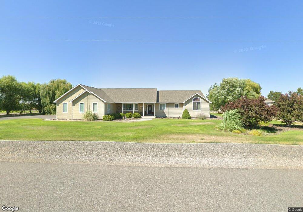
5512 Norma St West Richland, WA 99353
Estimated Value: $805,000 - $928,000
4
Beds
3
Baths
2,754
Sq Ft
$317/Sq Ft
Est. Value
About This Home
This home is located at 5512 Norma St, West Richland, WA 99353 and is currently estimated at $873,107, approximately $317 per square foot. 5512 Norma St is a home located in Benton County with nearby schools including Tapteal Elementary School and Hanford High School.
Ownership History
Date
Name
Owned For
Owner Type
Purchase Details
Closed on
Sep 3, 2011
Sold by
Ross Robert Dean and Ross Thelma Jean
Bought by
Dunn Monte C and Dunn Wendy C
Current Estimated Value
Purchase Details
Closed on
Oct 20, 2006
Sold by
Brady Christopher and Brady Stacy
Bought by
Ross Robert Dean and Ross Thelma Jean
Home Financials for this Owner
Home Financials are based on the most recent Mortgage that was taken out on this home.
Original Mortgage
$255,990
Interest Rate
6.46%
Mortgage Type
Purchase Money Mortgage
Create a Home Valuation Report for This Property
The Home Valuation Report is an in-depth analysis detailing your home's value as well as a comparison with similar homes in the area
Home Values in the Area
Average Home Value in this Area
Purchase History
| Date | Buyer | Sale Price | Title Company |
|---|---|---|---|
| Dunn Monte C | $392,000 | Chicago Title | |
| Ross Robert Dean | $319,999 | Frontier Title & Esc |
Source: Public Records
Mortgage History
| Date | Status | Borrower | Loan Amount |
|---|---|---|---|
| Previous Owner | Ross Robert Dean | $255,990 |
Source: Public Records
Tax History Compared to Growth
Tax History
| Year | Tax Paid | Tax Assessment Tax Assessment Total Assessment is a certain percentage of the fair market value that is determined by local assessors to be the total taxable value of land and additions on the property. | Land | Improvement |
|---|---|---|---|---|
| 2024 | $8,693 | $821,220 | $125,000 | $696,220 |
| 2023 | $8,693 | $821,220 | $125,000 | $696,220 |
| 2022 | $7,467 | $660,560 | $125,000 | $535,560 |
| 2021 | $7,114 | $607,000 | $125,000 | $482,000 |
| 2020 | $7,172 | $553,440 | $125,000 | $428,440 |
| 2019 | $6,018 | $535,600 | $125,000 | $410,600 |
| 2018 | $5,936 | $482,140 | $58,000 | $424,140 |
| 2017 | $5,286 | $411,450 | $58,000 | $353,450 |
| 2016 | $5,021 | $411,450 | $58,000 | $353,450 |
| 2015 | $4,907 | $411,450 | $58,000 | $353,450 |
| 2014 | -- | $394,910 | $58,000 | $336,910 |
| 2013 | -- | $394,910 | $58,000 | $336,910 |
Source: Public Records
Map
Nearby Homes
- 5700 Norma St
- 5600 Oasis St
- 996 Miraflores Ave
- 5600 Aloha Dr
- TBD S 58th Ave
- 5322 Seahawk Dr
- 1313 Kalani Ct
- 1325 Kalani Ct
- 1336 S 50th Ave
- 1393 Kalani Ct
- 1322 Kalani Ct
- 1356 Kalani Ct
- 1334 Kalani Ct
- 1374 Kalani Ct
- 5043 Swallow Ct
- 5323 Chukar Ct
- 4800 Paradise Way
- The Magnolia Plan at Watermark - Express Series
- The Wallowa Plan at Watermark - Freedom Series
- The Sentinel Plan at Watermark - Express Series