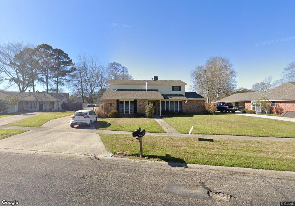
5512 Port Hudson Dr Baton Rouge, LA 70817
Shenandoah NeighborhoodEstimated Value: $261,270 - $308,000
--
Bed
--
Bath
2,366
Sq Ft
$120/Sq Ft
Est. Value
About This Home
This home is located at 5512 Port Hudson Dr, Baton Rouge, LA 70817 and is currently estimated at $283,318, approximately $119 per square foot. 5512 Port Hudson Dr is a home located in East Baton Rouge Parish with nearby schools including Shenandoah Elementary School, Woodlawn Middle School, and Woodlawn High School.
Ownership History
Date
Name
Owned For
Owner Type
Purchase Details
Closed on
May 26, 1998
Sold by
Johnson Johnson Orvid Dale
Bought by
Donaldson Patrick Earl and Donaldson Alexia Austin Dameron
Current Estimated Value
Home Financials for this Owner
Home Financials are based on the most recent Mortgage that was taken out on this home.
Original Mortgage
$125,000
Outstanding Balance
$25,137
Interest Rate
7.11%
Mortgage Type
Purchase Money Mortgage
Estimated Equity
$258,181
Create a Home Valuation Report for This Property
The Home Valuation Report is an in-depth analysis detailing your home's value as well as a comparison with similar homes in the area
Home Values in the Area
Average Home Value in this Area
Purchase History
| Date | Buyer | Sale Price | Title Company |
|---|---|---|---|
| Donaldson Patrick Earl | $97,000 | -- |
Source: Public Records
Mortgage History
| Date | Status | Borrower | Loan Amount |
|---|---|---|---|
| Open | Donaldson Patrick Earl | $125,000 |
Source: Public Records
Tax History Compared to Growth
Tax History
| Year | Tax Paid | Tax Assessment Tax Assessment Total Assessment is a certain percentage of the fair market value that is determined by local assessors to be the total taxable value of land and additions on the property. | Land | Improvement |
|---|---|---|---|---|
| 2024 | $1,315 | $18,700 | $2,000 | $16,700 |
| 2023 | $1,315 | $18,700 | $2,000 | $16,700 |
| 2022 | $2,130 | $18,700 | $2,000 | $16,700 |
| 2021 | $2,089 | $18,700 | $2,000 | $16,700 |
| 2020 | $2,116 | $18,700 | $2,000 | $16,700 |
| 2019 | $2,202 | $18,700 | $2,000 | $16,700 |
| 2018 | $2,174 | $18,700 | $2,000 | $16,700 |
| 2017 | $2,174 | $18,700 | $2,000 | $16,700 |
| 2016 | $1,332 | $18,700 | $2,000 | $16,700 |
| 2015 | $941 | $15,200 | $2,000 | $13,200 |
| 2014 | $922 | $15,200 | $2,000 | $13,200 |
| 2013 | -- | $15,200 | $2,000 | $13,200 |
Source: Public Records
Map
Nearby Homes
- 16067 Chantilly Ave
- 16825 Chadsford Ave
- 16039 Haynes Bluff Ave
- 16756 Merrimac Ave
- 5821 Fort Sumpter Dr
- 5534 Round Forrest Dr
- 15844 Chantilly Ave
- 4830 Kennesaw Dr Unit A
- 16225 Chadsford Ave
- 16025 Parkside Ct
- 16849 Monitor Ave
- 16849 Mill Grove Ln
- 15946 Ferrell Ave
- 6246 Petersburg Dr
- Lot 41A Carnifix Ct
- 6335 Antioch Blvd
- 15933 Shenandoah Ave
- 5111 Paducah Ct
- 16255 White Rose Dr
- 5101 Paducah Ct
- 5502 Port Hudson Dr
- 5518 Port Hudson Dr
- 5419 Antioch Blvd
- 5429 Antioch Blvd
- 5522 Port Hudson Dr
- 5507 Antioch Bl
- 5450 Port Hudson Dr
- 5450 Port Hudson Dr
- 5521 Port Hudson Dr
- 5507 Antioch Blvd
- 5409 Antioch Blvd
- 5511 Port Hudson Dr
- 999 Port Hudson Dr
- 5517 Antioch Blvd
- 5532 Port Hudson Dr
- 5440 Port Hudson Dr
- 16711 Fort Pulaski Ave
- 5527 Antioch Blvd
- 5335 Antioch Blvd
- 16611 Ticonderoga Ave