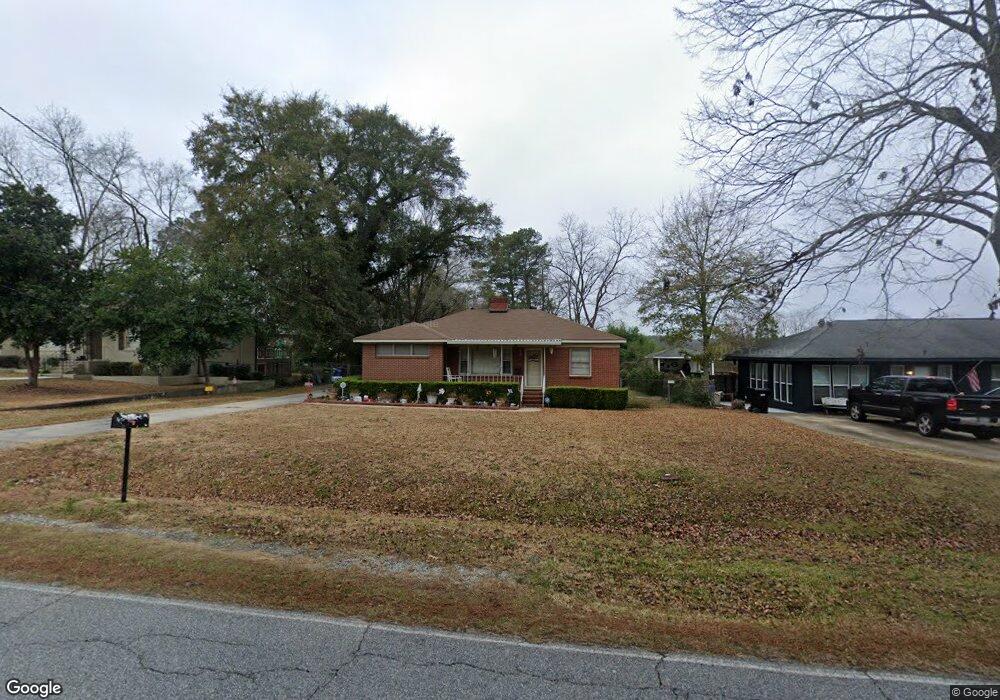
5513 Moon Rd Columbus, GA 31909
Northern Columbus NeighborhoodEstimated Value: $146,033 - $168,000
3
Beds
2
Baths
1,303
Sq Ft
$122/Sq Ft
Est. Value
About This Home
This home is located at 5513 Moon Rd, Columbus, GA 31909 and is currently estimated at $158,508, approximately $121 per square foot. 5513 Moon Rd is a home located in Muscogee County with nearby schools including Gentian Elementary School, Midland Middle School, and Hardaway High School.
Ownership History
Date
Name
Owned For
Owner Type
Purchase Details
Closed on
Sep 19, 2014
Sold by
Pollock Carol Roberts
Bought by
Buschel Dean F and Kinsman Diana B
Current Estimated Value
Home Financials for this Owner
Home Financials are based on the most recent Mortgage that was taken out on this home.
Original Mortgage
$88,369
Outstanding Balance
$67,926
Interest Rate
4.25%
Mortgage Type
FHA
Estimated Equity
$90,582
Purchase Details
Closed on
Jan 30, 2009
Sold by
Pollock Carol Roberts and Roberts Karl Thomas
Bought by
Pollock Carol Roberts
Create a Home Valuation Report for This Property
The Home Valuation Report is an in-depth analysis detailing your home's value as well as a comparison with similar homes in the area
Home Values in the Area
Average Home Value in this Area
Purchase History
| Date | Buyer | Sale Price | Title Company |
|---|---|---|---|
| Buschel Dean F | $90,000 | -- | |
| Pollock Carol Roberts | -- | None Available |
Source: Public Records
Mortgage History
| Date | Status | Borrower | Loan Amount |
|---|---|---|---|
| Open | Buschel Dean F | $88,369 |
Source: Public Records
Tax History Compared to Growth
Tax History
| Year | Tax Paid | Tax Assessment Tax Assessment Total Assessment is a certain percentage of the fair market value that is determined by local assessors to be the total taxable value of land and additions on the property. | Land | Improvement |
|---|---|---|---|---|
| 2025 | $893 | $45,364 | $8,096 | $37,268 |
| 2024 | $892 | $45,364 | $8,096 | $37,268 |
| 2023 | $203 | $45,364 | $8,096 | $37,268 |
| 2022 | $930 | $41,088 | $8,096 | $32,992 |
| 2021 | $923 | $37,680 | $8,096 | $29,584 |
| 2020 | $923 | $37,680 | $8,096 | $29,584 |
| 2019 | $928 | $37,680 | $8,096 | $29,584 |
| 2018 | $928 | $37,680 | $8,096 | $29,584 |
| 2017 | $933 | $37,680 | $8,096 | $29,584 |
| 2016 | $938 | $35,999 | $3,238 | $32,761 |
| 2015 | $939 | $35,999 | $3,238 | $32,761 |
| 2014 | $328 | $19,843 | $3,238 | $16,605 |
| 2013 | -- | $19,843 | $3,238 | $16,605 |
Source: Public Records
Map
Nearby Homes
- 5517 Rodgers Dr
- 5540 Rodgers Dr
- 5216 Moon Rd
- 3872 E Britt David Rd
- 3618 Grier Ave
- 3710 Winkfield Place
- 5224 Miller Rd
- 5435 Wayne Dr
- 4832 Rowland Ave
- 4813 Rowland Ct
- 3504 Vernon Dr
- 5636 Webb Ave
- 4709 Rowland Ave
- 5829 Moon Rd
- 3308 Mustang Dr
- 4807 Fairview Dr
- 4520 Marci Ct
- 4036 Wilbur Dr
- 4017 River Rock Way
- 5836 Sherborne Dr