Estimated Value: $840,530 - $999,000
--
Bed
--
Bath
1,974
Sq Ft
$480/Sq Ft
Est. Value
About This Home
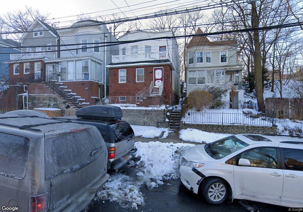
This home is located at 5515 Fieldston Rd, Bronx, NY 10471 and is currently estimated at $948,133, approximately $480 per square foot. 5515 Fieldston Rd is a home located in Bronx County with nearby schools including P.S. 81 - Robert J. Christen, Riverdale Kingsbridge Academy, and St Margaret Of Cortona School.
Ownership History
Date
Name
Owned For
Owner Type
Purchase Details
Closed on
Dec 29, 2011
Sold by
Henry Isabella
Bought by
Henry Ann M
Current Estimated Value
Home Financials for this Owner
Home Financials are based on the most recent Mortgage that was taken out on this home.
Original Mortgage
$250,000
Outstanding Balance
$171,393
Interest Rate
3.98%
Mortgage Type
New Conventional
Estimated Equity
$776,740
Create a Home Valuation Report for This Property
The Home Valuation Report is an in-depth analysis detailing your home's value as well as a comparison with similar homes in the area
Home Values in the Area
Average Home Value in this Area
Purchase History
| Date | Buyer | Sale Price | Title Company |
|---|---|---|---|
| Henry Ann M | $500,000 | -- |
Source: Public Records
Mortgage History
| Date | Status | Borrower | Loan Amount |
|---|---|---|---|
| Open | Henry Ann M | $250,000 |
Source: Public Records
Tax History Compared to Growth
Tax History
| Year | Tax Paid | Tax Assessment Tax Assessment Total Assessment is a certain percentage of the fair market value that is determined by local assessors to be the total taxable value of land and additions on the property. | Land | Improvement |
|---|---|---|---|---|
| 2025 | $7,652 | $40,384 | $7,962 | $32,422 |
| 2024 | $7,652 | $38,098 | $6,806 | $31,292 |
| 2023 | $7,219 | $35,942 | $7,079 | $28,863 |
| 2022 | $7,299 | $54,660 | $11,640 | $43,020 |
| 2021 | $7,507 | $49,800 | $11,640 | $38,160 |
| 2020 | $7,123 | $53,460 | $11,640 | $41,820 |
| 2019 | $6,641 | $55,140 | $11,640 | $43,500 |
| 2018 | $6,106 | $29,952 | $6,421 | $23,531 |
| 2017 | $6,106 | $29,952 | $8,764 | $21,188 |
| 2016 | $5,943 | $29,726 | $8,872 | $20,854 |
| 2015 | $3,662 | $28,044 | $10,151 | $17,893 |
| 2014 | $3,662 | $26,457 | $11,399 | $15,058 |
Source: Public Records
Map
Nearby Homes
- 5550 Fieldston Rd Unit 1C on 2nd floor
- 5550 Fieldston Rd Unit 8D
- 5550 Fieldston Rd Unit 7C
- 5730 Mosholu Ave Unit 5F
- 5730 Mosholu Ave Unit 4-F
- 5730 Mosholu Ave Unit 6A
- 5500 Fieldston Rd Unit 8AA
- 5500 Fieldston Rd Unit 4II
- 5500 Fieldston Rd Unit 4EE
- 5500 Fieldston Rd Unit 7EE
- 5500 Fieldston Rd Unit 8CC
- 5500 Fieldston Rd Unit 7JJ
- 5500 Fieldston Rd Unit 5CC
- 246 W 256th St
- 5465 Sylvan Ave
- 5834 Fieldston Rd
- 5437 Fieldston Rd
- 5648 Delafield Ave
- 425 W 256th St
- 5621 Post Rd
- 5513 Fieldston Rd S Unit 2
- 5517 Fieldston Rd
- 5513 Fieldston Rd
- 5513 Fieldston Rd Unit 2
- 5511 Fieldston Rd
- 5509 Fieldston Rd
- 5505 Fieldston Rd
- 5624 Fieldston Rd
- 5622 Fieldston Rd
- 5614 Fieldston Rd
- 5626 Fieldston Rd
- 5620 Fieldston Rd
- 5628 Fieldston Rd
- 5618 Fieldston Rd
- 5630 Fieldston Rd
- 5714 Fieldston Rd
- 5610 Fieldston Rd
- 5497 Fieldston Rd
- 5497 Fieldston Rd Unit 3
- 5604 Fieldston Rd