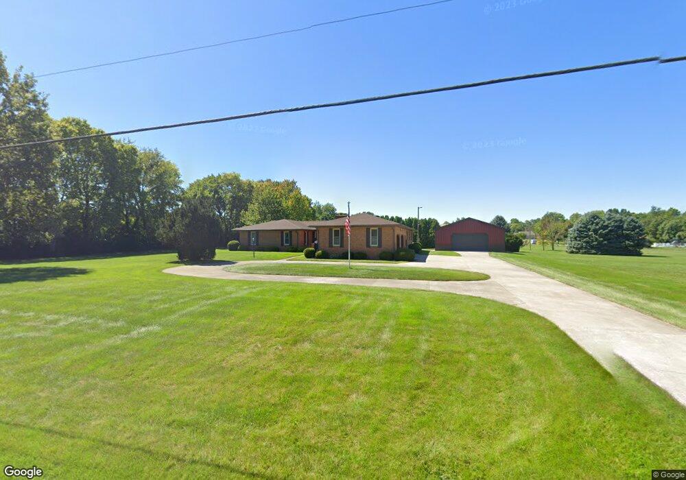
5515 Morris Rd Springfield, OH 45502
Estimated Value: $333,000 - $533,000
3
Beds
3
Baths
2,276
Sq Ft
$185/Sq Ft
Est. Value
About This Home
This home is located at 5515 Morris Rd, Springfield, OH 45502 and is currently estimated at $420,309, approximately $184 per square foot. 5515 Morris Rd is a home located in Clark County with nearby schools including Northridge Elementary School, Kenton Ridge Middle & High School, and Emmanuel Christian Academy.
Ownership History
Date
Name
Owned For
Owner Type
Purchase Details
Closed on
Oct 9, 2024
Sold by
Demory Robert E and Demory Brenda L
Bought by
Smith Cheryl L
Current Estimated Value
Purchase Details
Closed on
Mar 7, 1994
Bought by
Demory Robert E and Demory Brenda L
Create a Home Valuation Report for This Property
The Home Valuation Report is an in-depth analysis detailing your home's value as well as a comparison with similar homes in the area
Home Values in the Area
Average Home Value in this Area
Purchase History
We collect this data history from publicly available records. To have your information removed, we recommend requesting removal directly through your county’s website.
| Date | Buyer | Sale Price | Title Company |
|---|---|---|---|
| Smith Cheryl L | $425,000 | None Listed On Document | |
| Smith Cheryl L | $425,000 | None Listed On Document | |
| Demory Robert E | -- | -- |
Source: Public Records
Tax History
| Year | Tax Paid | Tax Assessment Tax Assessment Total Assessment is a certain percentage of the fair market value that is determined by local assessors to be the total taxable value of land and additions on the property. | Land | Improvement |
|---|---|---|---|---|
| 2025 | $3,953 | $116,050 | $19,620 | $96,430 |
| 2024 | $3,850 | $100,080 | $15,220 | $84,860 |
| 2023 | $3,850 | $100,080 | $15,220 | $84,860 |
| 2022 | $3,882 | $100,080 | $15,220 | $84,860 |
| 2021 | $3,712 | $82,750 | $12,470 | $70,280 |
| 2020 | $3,715 | $82,750 | $12,470 | $70,280 |
| 2019 | $3,786 | $82,750 | $12,470 | $70,280 |
| 2018 | $3,438 | $73,230 | $11,550 | $61,680 |
| 2017 | $2,948 | $73,227 | $11,550 | $61,677 |
| 2016 | $2,927 | $73,227 | $11,550 | $61,677 |
| 2015 | $2,795 | $68,037 | $11,550 | $56,487 |
| 2014 | $2,795 | $68,037 | $11,550 | $56,487 |
| 2013 | $2,730 | $68,037 | $11,550 | $56,487 |
Source: Public Records
Map
Nearby Homes
- 5029 Old Mechanicsburg Rd
- 6055 Prairie Rd
- 4931 Bosart Rd
- 4898 Brannan Dr E
- 4917 Auston St
- 5235 Middle Urbana Rd
- 5195 Burton Dr
- 1902 Erika Dr
- 4811 Middle Urbana Rd
- 1788 Berwick Dr
- 1738 Berwick Dr Unit 107
- 4642 Laredo St
- 4732 Lehigh Dr
- 4008 Bosart Rd
- 1602 Oldham Dr Unit 15
- 1524 New Castle Ln
- 5866 Oldham Dr
- 5866 Oldham Dr Unit 4
- 4028 Ryland Dr Unit 4028
- 4954 E County Line Rd
- 3971 Morningside Cir
- 5575 Morris Rd
- 3984 Morningside Cir
- 5520 Morris Rd
- 5612 Morris Rd
- 5605 Morris Rd
- 3897 Morningside Cir
- 5624 Morris Rd
- 3980 Morningside Cir
- 5665 Morris Rd
- 3933 Windy Ridge Dr
- 3625 Morningside Cir
- 3869 Windy Ridge Dr
- 3620 Morningside Cir
- 3998 Windy Ridge Dr
- 5674 Morris Rd
- 5610 Breezewood St
- 5523 Breezewood St
- 5557 Breezewood St
- 3986 Windy Ridge Dr
Your Personal Tour Guide
Ask me questions while you tour the home.