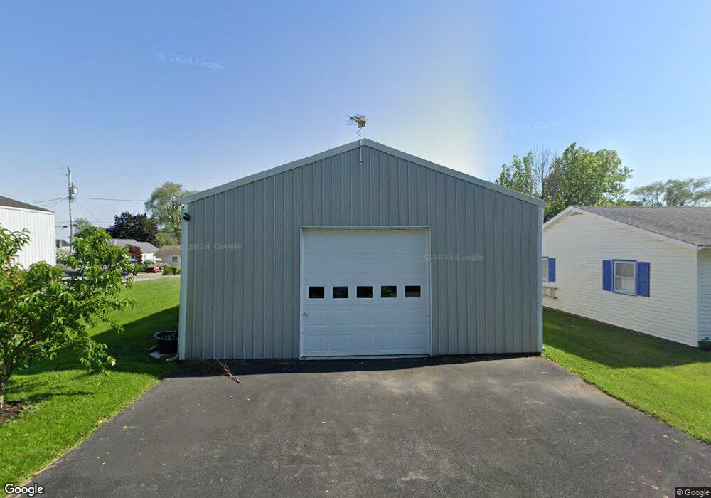
5517 E Channel Dr Port Clinton, OH 43452
Estimated Value: $113,000 - $337,000
--
Bed
--
Bath
896
Sq Ft
$264/Sq Ft
Est. Value
About This Home
This home is located at 5517 E Channel Dr, Port Clinton, OH 43452 and is currently estimated at $236,933, approximately $264 per square foot. 5517 E Channel Dr is a home located in Ottawa County with nearby schools including Bataan Memorial Primary School, Bataan Memorial Intermediate School, and Port Clinton Middle School.
Ownership History
Date
Name
Owned For
Owner Type
Purchase Details
Closed on
Apr 4, 2017
Sold by
Devore Roy A and Devore Lori A
Bought by
Neal Timothy M and Neal Carol F
Current Estimated Value
Purchase Details
Closed on
Mar 20, 1998
Sold by
Perrin Charles K
Bought by
Bower Rhonda
Home Financials for this Owner
Home Financials are based on the most recent Mortgage that was taken out on this home.
Original Mortgage
$93,950
Interest Rate
7.14%
Mortgage Type
New Conventional
Create a Home Valuation Report for This Property
The Home Valuation Report is an in-depth analysis detailing your home's value as well as a comparison with similar homes in the area
Home Values in the Area
Average Home Value in this Area
Purchase History
| Date | Buyer | Sale Price | Title Company |
|---|---|---|---|
| Neal Timothy M | $45,000 | Hartung Title | |
| Bower Rhonda | $98,900 | -- |
Source: Public Records
Mortgage History
| Date | Status | Borrower | Loan Amount |
|---|---|---|---|
| Previous Owner | Bower Rhonda | $93,950 |
Source: Public Records
Tax History Compared to Growth
Tax History
| Year | Tax Paid | Tax Assessment Tax Assessment Total Assessment is a certain percentage of the fair market value that is determined by local assessors to be the total taxable value of land and additions on the property. | Land | Improvement |
|---|---|---|---|---|
| 2024 | $952 | $29,358 | $21,518 | $7,840 |
| 2023 | $952 | $13,867 | $10,759 | $3,108 |
| 2022 | $494 | $13,867 | $10,759 | $3,108 |
| 2021 | $493 | $13,870 | $10,760 | $3,110 |
| 2020 | $385 | $10,420 | $8,150 | $2,270 |
| 2019 | $381 | $10,420 | $8,150 | $2,270 |
| 2018 | $426 | $10,420 | $8,150 | $2,270 |
| 2017 | $382 | $9,100 | $6,580 | $2,520 |
| 2016 | $383 | $9,100 | $6,580 | $2,520 |
| 2015 | $386 | $9,100 | $6,580 | $2,520 |
| 2014 | $299 | $6,940 | $6,270 | $670 |
| 2013 | $300 | $6,940 | $6,270 | $670 |
Source: Public Records
Map
Nearby Homes
- 5411 E Channel Dr
- 2734 NE Catawba Rd
- 5510 E Center Ln
- 5475 E Mabel Dr
- 2970 N Swift Dr
- 3046 N Searay Dr
- 2822 N Noreaster Cove Dr
- 2750 Canterbury Cir Unit C
- 2901 Villa Ct Unit C
- 2888 N Coho Dr
- 2769 N Canterbury Cir Unit B
- 2769 Canterbury Cir
- 2591 N Torino Dr
- 2531 E Torino Dr
- 4862 Tradewinds Dr
- 2855 N Canterbury Cir Unit A
- 5601 E Pittsburgh St
- 2914 N Perch Row
- 2453 N Peachtree Ln Unit Sublot 7
- 2481 N Peachtree Ln Unit Sublot 6
- 5533 E Channel Dr
- 5493 E Channel Dr
- 5541 E Channel Dr
- 5518 E Channel Dr
- 5510 E Channel Dr
- 5526 E Channel Dr
- 5534 E Channel Dr
- 5492 E Foxhaven Dr
- 5525 E Channel Dr
- 5502 E Channel Dr
- 5502 E Channel Dr
- 5483 E Channel Dr
- 5484 E Foxhaven Dr
- 5500 E Foxhaven Dr
- 5542 E Channel Dr
- 5550 E Channel Dr
- 5476 E Foxhaven Dr
- 5508 E Foxhaven Dr
- 5558 E Channel Dr
- 5566 E Channel Dr