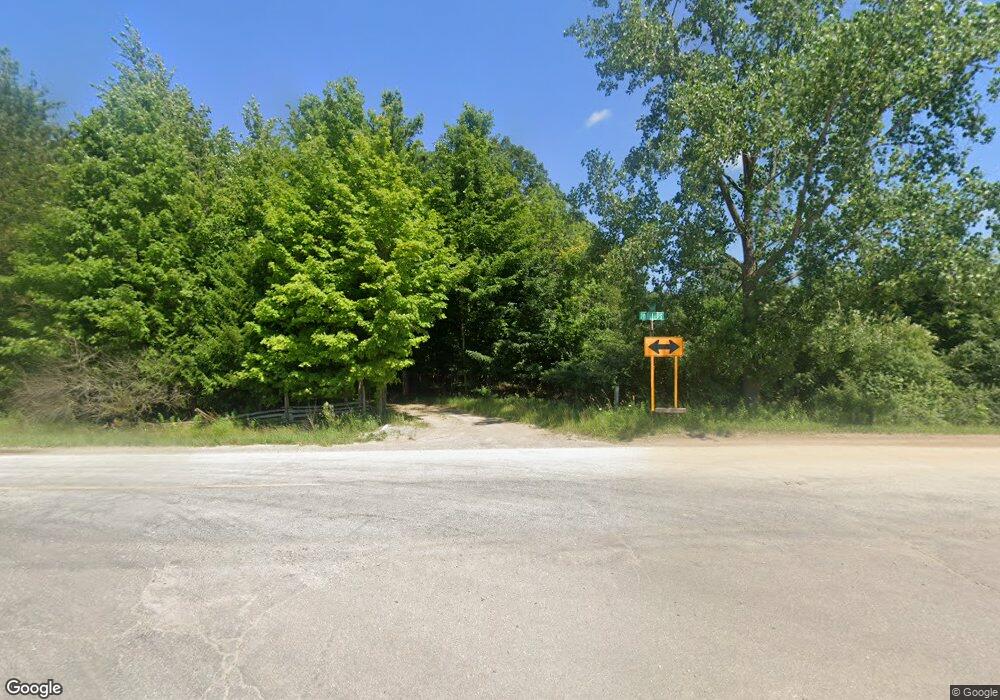
5517 Phillips Rd Unit Bldg-Unit Clifford, MI 48727
Estimated Value: $247,000 - $571,086
3
Beds
3
Baths
1,824
Sq Ft
$224/Sq Ft
Est. Value
About This Home
This home is located at 5517 Phillips Rd Unit Bldg-Unit, Clifford, MI 48727 and is currently estimated at $409,043, approximately $224 per square foot. 5517 Phillips Rd Unit Bldg-Unit is a home located in Tuscola County with nearby schools including Kingston Elementary School and Kingston High School.
Ownership History
Date
Name
Owned For
Owner Type
Purchase Details
Closed on
Mar 27, 2020
Sold by
Rlt James Paul Neisler
Bought by
Najor Allen
Current Estimated Value
Home Financials for this Owner
Home Financials are based on the most recent Mortgage that was taken out on this home.
Original Mortgage
$348,000
Interest Rate
3.4%
Mortgage Type
New Conventional
Purchase Details
Closed on
Jul 28, 2011
Sold by
Torchia Donald W and Torchia Kathy
Bought by
James Paul Neisler Revocable Living Trus
Purchase Details
Closed on
Jan 12, 2007
Sold by
Bearden Howard L and Bearden Revocab E R
Bought by
Torchia Donald W and Neisler James P
Purchase Details
Closed on
Jan 11, 2007
Sold by
Bearden Howard L
Bought by
Torchia Donald W and Neisler James P
Create a Home Valuation Report for This Property
The Home Valuation Report is an in-depth analysis detailing your home's value as well as a comparison with similar homes in the area
Purchase History
| Date | Buyer | Sale Price | Title Company |
|---|---|---|---|
| Najor Allen | $435,000 | Premier Title Agency Llc | |
| James Paul Neisler Revocable Living Trus | -- | None Available | |
| Torchia Donald W | $235,000 | None Available | |
| Torchia Donald W | -- | None Available |
Source: Public Records
Mortgage History
| Date | Status | Borrower | Loan Amount |
|---|---|---|---|
| Previous Owner | Najor Allen | $348,000 |
Source: Public Records
Tax History
| Year | Tax Paid | Tax Assessment Tax Assessment Total Assessment is a certain percentage of the fair market value that is determined by local assessors to be the total taxable value of land and additions on the property. | Land | Improvement |
|---|---|---|---|---|
| 2025 | $10,466 | $286,100 | $0 | $0 |
| 2024 | $10,466 | $289,000 | $0 | $0 |
| 2023 | $10,420 | $240,200 | $0 | $0 |
| 2022 | $9,194 | $198,100 | $0 | $0 |
| 2021 | $8,917 | $184,200 | $0 | $0 |
| 2020 | $4,823 | $159,800 | $0 | $0 |
| 2019 | $4,758 | $154,200 | $0 | $0 |
| 2018 | $4,655 | $145,300 | $0 | $0 |
| 2017 | $4,574 | $159,500 | $0 | $0 |
| 2016 | $4,265 | $127,200 | $0 | $0 |
| 2015 | $6 | $99,700 | $0 | $0 |
| 2014 | $6 | $92,600 | $0 | $0 |
| 2013 | $8 | $87,600 | $0 | $0 |
Source: Public Records
Map
Nearby Homes
- 00 English Rd
- 6435 Mayville Rd
- 00 Washington St
- 4634 Marlette Rd
- 4470 Maitland St
- 4677 Point Ct
- lot 302 Hilcrest Helen Dr
- 4267 Clifford Rd
- 9973 Slattery Rd
- 6750 Lanway Rd
- 3838 Mayville Rd
- 3751 Clifford Rd
- 4830 Hurds Corner Rd
- 2892 Koylette Rd
- 2753 E Snover Rd
- 00 Rumph Rd
- 2998 Ayre St
- 2835 Doyle St
- 2701 Golf Course Dr
- 5375 Treasurer Rd
- 5517 Phillips Rd
- 5465 Phillips Rd
- 5465 Phillips Rd
- 5605 Phillips Rd
- 5415 Phillips Rd
- 5675 Phillips Rd
- 5365 Phillips Rd
- 5415 Snover Rd
- 5362 Phillips Rd
- 5727 Phillips Rd
- 5696 Phillips Rd
- 5525 Lanway Rd
- 5660 Phillips Rd
- 5515 Lanway Rd
- 5151 Phillips Rd
- 5262 Phillips Rd
- 5775 Lanway Rd
- 5730 S Kingston Rd
- 5819 Phillips Rd
- 5333 Snover Rd
Your Personal Tour Guide
Ask me questions while you tour the home.
