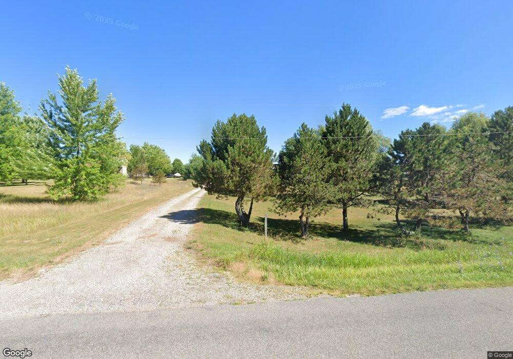
5519 15 Mile Rd NE Cedar Springs, MI 49319
Estimated Value: $355,000 - $384,000
3
Beds
2
Baths
1,900
Sq Ft
$195/Sq Ft
Est. Value
About This Home
This home is located at 5519 15 Mile Rd NE, Cedar Springs, MI 49319 and is currently estimated at $370,655, approximately $195 per square foot. 5519 15 Mile Rd NE is a home located in Kent County with nearby schools including Cedar Trails Elementary School, Red Hawk Intermediate School, and Beach Elementary School.
Ownership History
Date
Name
Owned For
Owner Type
Purchase Details
Closed on
Aug 8, 2024
Sold by
Barton-Young Christine M and Barton Christine Marie
Bought by
Barton Christine Marie
Current Estimated Value
Home Financials for this Owner
Home Financials are based on the most recent Mortgage that was taken out on this home.
Original Mortgage
$228,937
Interest Rate
5.99%
Mortgage Type
FHA
Purchase Details
Closed on
Nov 21, 2007
Sold by
Us Bank Na
Bought by
Young Christine M
Home Financials for this Owner
Home Financials are based on the most recent Mortgage that was taken out on this home.
Original Mortgage
$139,000
Interest Rate
6.33%
Mortgage Type
Purchase Money Mortgage
Purchase Details
Closed on
Aug 22, 2007
Sold by
Seaton Y Scott and Salazar Seaton Teresa
Bought by
Us Bank Na
Create a Home Valuation Report for This Property
The Home Valuation Report is an in-depth analysis detailing your home's value as well as a comparison with similar homes in the area
Home Values in the Area
Average Home Value in this Area
Purchase History
| Date | Buyer | Sale Price | Title Company |
|---|---|---|---|
| Barton Christine Marie | -- | None Listed On Document | |
| Young Christine M | $139,000 | Attorneys Title Agency Llc | |
| Us Bank Na | $160,792 | None Available |
Source: Public Records
Mortgage History
| Date | Status | Borrower | Loan Amount |
|---|---|---|---|
| Previous Owner | Barton Christine Marie | $228,937 | |
| Previous Owner | Young Christine M | $139,000 |
Source: Public Records
Tax History Compared to Growth
Tax History
| Year | Tax Paid | Tax Assessment Tax Assessment Total Assessment is a certain percentage of the fair market value that is determined by local assessors to be the total taxable value of land and additions on the property. | Land | Improvement |
|---|---|---|---|---|
| 2025 | $2,354 | $160,100 | $0 | $0 |
| 2024 | $2,354 | $163,400 | $0 | $0 |
| 2023 | $2,250 | $134,600 | $0 | $0 |
| 2022 | $2,578 | $122,700 | $0 | $0 |
| 2021 | $2,593 | $122,000 | $0 | $0 |
| 2020 | $2,149 | $118,800 | $0 | $0 |
| 2019 | $2,117 | $113,000 | $0 | $0 |
| 2018 | $2,484 | $99,600 | $0 | $0 |
| 2017 | $2,406 | $90,200 | $0 | $0 |
| 2016 | $2,319 | $82,600 | $0 | $0 |
| 2015 | -- | $82,600 | $0 | $0 |
| 2013 | -- | $75,700 | $0 | $0 |
Source: Public Records
Map
Nearby Homes
- 5890 Grace Way Dr
- 5933 Trillium Hills Dr NE
- 5906 Trillium Hills Dr NE
- 5652 Kingsley Dr NE
- 12717 Northland Dr NE
- 5390 14 Mile Rd NE
- 11975 Northland Dr
- 11975 Northland Dr Unit M1 Modular
- 11975 Northland Dr Unit M7 Modular
- 11975 Northland Dr Unit M3- Modular
- 4707 Indian Lakes Rd NE
- 13025 Shaner Ave NE
- 6037 16 Mile Rd NE
- 5189 Bonasa Dr NE
- 11900 Shaner Ave NE
- 5069 Dio Dr
- 4233 Ives Farm Ln NE Unit 45
- 5080 Brookestone Dr NE
- 224 Ann St NE
- 281 Ronald St NE
- 5497 15 Mile Rd NE
- 5555 15 Mile Rd NE
- 5413 15 Mile Rd NE
- 5562 15 Mile Rd NE
- 5433 15 Mile Rd NE
- 12439 Ritchie Ave NE
- 5568 15 Mile Rd NE
- 5414 15 Mile Rd NE
- 5452 15 Mile Rd NE
- 12493 Ritchie Ave NE
- 5393 15 Mile Rd NE
- 5500 15 Mile Rd NE
- 5383 15 Mile Rd NE
- 12515 Ritchie Ave NE
- 5450 15 Mile Rd NE
- 5359 15 Mile Rd NE
- 12303 Ritchie Ave NE
- 12434 Ritchie Ave NE
- 5620 15 Mile Rd NE
- 5380 15 Mile Rd NE