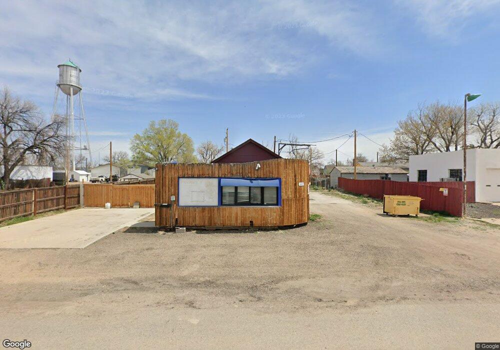
552 1st Ave Deer Trail, CO 80105
Estimated Value: $148,547 - $332,000
1
Bed
1
Bath
699
Sq Ft
$357/Sq Ft
Est. Value
About This Home
This home is located at 552 1st Ave, Deer Trail, CO 80105 and is currently estimated at $249,387, approximately $356 per square foot. 552 1st Ave is a home located in Arapahoe County with nearby schools including Deer Trail Elementary School and Deer Trail Junior/Senior High School.
Ownership History
Date
Name
Owned For
Owner Type
Purchase Details
Closed on
Aug 7, 2017
Sold by
Hardwick Robert B and Hardwick Nicole
Bought by
Gonzalez Ramiro
Current Estimated Value
Purchase Details
Closed on
Oct 14, 2016
Sold by
Behrens Victor and Behrens Julie
Bought by
Hardwick Robert B and Hardwick Nicole L
Purchase Details
Closed on
Jun 1, 1979
Sold by
Conversion Arapco
Bought by
Conversion Arapco
Purchase Details
Closed on
Jul 4, 1776
Bought by
Conversion Arapco
Create a Home Valuation Report for This Property
The Home Valuation Report is an in-depth analysis detailing your home's value as well as a comparison with similar homes in the area
Purchase History
| Date | Buyer | Sale Price | Title Company |
|---|---|---|---|
| Gonzalez Ramiro | -- | None Available | |
| Hardwick Robert B | $20,000 | None Available | |
| Conversion Arapco | -- | -- | |
| Conversion Arapco | -- | -- |
Source: Public Records
Tax History
| Year | Tax Paid | Tax Assessment Tax Assessment Total Assessment is a certain percentage of the fair market value that is determined by local assessors to be the total taxable value of land and additions on the property. | Land | Improvement |
|---|---|---|---|---|
| 2025 | $540 | $16,785 | -- | -- |
| 2024 | $506 | $6,738 | -- | -- |
| 2023 | $506 | $6,738 | $0 | $0 |
| 2022 | $292 | $3,911 | $0 | $0 |
| 2021 | $299 | $3,911 | $0 | $0 |
| 2020 | $313 | $3,967 | $0 | $0 |
| 2019 | $309 | $3,967 | $0 | $0 |
| 2018 | $488 | $5,800 | $0 | $0 |
| 2017 | $488 | $5,800 | $0 | $0 |
| 2016 | $226 | $3,185 | $0 | $0 |
| 2015 | $222 | $3,185 | $0 | $0 |
| 2014 | $233 | $3,185 | $0 | $0 |
| 2013 | -- | $3,830 | $0 | $0 |
Source: Public Records
Map
Nearby Homes
- 492 3rd Ave
- 444 3rd Ave
- 691 3rd Ave
- 1434 4th Ct
- 805 Cedar St
- 0 7th Ave
- 54 S 4th Place
- 84 S 4th Ave
- Vacant land 7 11th Ave
- Vacant Land 5 11th Ave
- 0 Date St Unit REC7529128
- 0 Vacant Land 6 Unit 6 REC6098118
- 192 S 4th Ave
- 265 S 4th Ct
- 306 S 4th Ct
- 310 S 4th Ct
- 217 S Price Rd
- 436 S 3rd Ave
- 4055 S Co Road 193
- 4295 S County Road 193
Your Personal Tour Guide
Ask me questions while you tour the home.