552 Atkins Rd Fuquay Varina, NC 27526
Estimated Value: $280,000 - $546,000
5
Beds
6
Baths
--
Sq Ft
0.92
Acres
About This Home
This home is located at 552 Atkins Rd, Fuquay Varina, NC 27526 and is currently estimated at $376,206. 552 Atkins Rd is a home located in Harnett County with nearby schools including Angier Elementary School, North Harnett Primary School, and Harnett Central Middle School.
Ownership History
Date
Name
Owned For
Owner Type
Purchase Details
Closed on
Oct 25, 2021
Sold by
Estate Of Catherine Smith Edwards
Bought by
Pond Samuel Colin and Pond Lauren Nicole
Current Estimated Value
Home Financials for this Owner
Home Financials are based on the most recent Mortgage that was taken out on this home.
Original Mortgage
$433,300
Outstanding Balance
$395,986
Interest Rate
2.8%
Mortgage Type
New Conventional
Estimated Equity
-$19,780
Purchase Details
Closed on
Oct 17, 2003
Bought by
Edwards Garry
Create a Home Valuation Report for This Property
The Home Valuation Report is an in-depth analysis detailing your home's value as well as a comparison with similar homes in the area
Home Values in the Area
Average Home Value in this Area
Purchase History
| Date | Buyer | Sale Price | Title Company |
|---|---|---|---|
| Pond Samuel Colin | $619,000 | None Available | |
| Edwards Garry | $290,000 | -- |
Source: Public Records
Mortgage History
| Date | Status | Borrower | Loan Amount |
|---|---|---|---|
| Open | Pond Samuel Colin | $433,300 |
Source: Public Records
Tax History Compared to Growth
Tax History
| Year | Tax Paid | Tax Assessment Tax Assessment Total Assessment is a certain percentage of the fair market value that is determined by local assessors to be the total taxable value of land and additions on the property. | Land | Improvement |
|---|---|---|---|---|
| 2025 | $376 | $56,490 | $0 | $0 |
| 2024 | $382 | $56,490 | $0 | $0 |
| 2023 | $376 | $56,490 | $0 | $0 |
| 2022 | $357 | $56,490 | $0 | $0 |
| 2021 | $357 | $43,480 | $0 | $0 |
| 2020 | $357 | $43,480 | $0 | $0 |
| 2019 | $357 | $43,480 | $0 | $0 |
| 2018 | $357 | $43,480 | $0 | $0 |
| 2017 | $357 | $43,480 | $0 | $0 |
| 2016 | $595 | $72,520 | $0 | $0 |
| 2015 | -- | $72,520 | $0 | $0 |
| 2014 | -- | $72,520 | $0 | $0 |
Source: Public Records
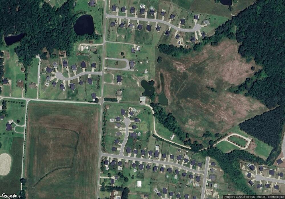
Map
Nearby Homes
- 39 Calabor Ct
- 149 Brickhouse Ln
- 120 Brickhouse Ln
- 221 Steel Springs Ln Unit 23
- 162 Muskogee Rd Unit 55
- 69 Steel Springs Ln Unit 6
- 8841 Kenridge Ln
- 82 Coble Farms Place
- 8680 Kenridge Ln
- 8630 Kenridge Ln
- 112 Lambert Ln
- 78 Creekhaven Dr Unit 79
- 84 Creekhaven Dr Unit 80
- Cameron Plan at Neill's Pointe
- Middleton Plan at Neill's Pointe
- Callaway Plan at The Grove at Neill's Pointe
- Devon Plan at Neill's Pointe
- Millhaven Plan at The Grove at Neill's Pointe
- Bordeaux Plan at The Grove at Neill's Pointe
- Malbec Plan at Neill's Pointe
- 552 Atkins Rd
- 84 Vanderlin Ct
- 80 Vanderlin Ct
- 83 Vanderlin Ct
- 568 Atkins Rd
- 66 Vanderlin Ct
- 606 Atkins Rd
- 79 Vanderlin Ct
- 52 Vanderlin Ct
- 636 Atkins Rd
- 67 Vanderlin Ct
- 0 Atkins Rd Unit 1648506
- 0 Atkins Rd Unit TR1639833
- 0 Atkins Rd Unit TR1648506
- 49 Vanderlin Ct
- 567 Atkins Rd
- 656 Atkins Rd
- 27 Vanderlin Ct
- 77 Southern Acres Dr
- 57 Southern Acres Dr