552 Beach Ave Unit 1 Bourbonnais, IL 60914
Estimated Value: $403,000 - $445,000
4
Beds
3
Baths
2,300
Sq Ft
$182/Sq Ft
Est. Value
About This Home
This home is located at 552 Beach Ave Unit 1, Bourbonnais, IL 60914 and is currently estimated at $418,775, approximately $182 per square foot. 552 Beach Ave Unit 1 is a home located in Kankakee County with nearby schools including Alan B. Shepard Elementary School, Liberty Intermediate School, and Bourbonnais Upper Grade Center.
Ownership History
Date
Name
Owned For
Owner Type
Purchase Details
Closed on
Dec 15, 2021
Sold by
Kerouac Timothy J and Kerouac Lisa M
Bought by
Pedley Samuel and Pedley Elizabeth
Current Estimated Value
Home Financials for this Owner
Home Financials are based on the most recent Mortgage that was taken out on this home.
Original Mortgage
$172,500
Outstanding Balance
$135,681
Interest Rate
2.7%
Mortgage Type
New Conventional
Estimated Equity
$283,094
Purchase Details
Closed on
Jul 9, 2015
Sold by
Security Lumber & Supply Co In
Bought by
Kerouac Timothy J and Jeziorny Lisa M
Home Financials for this Owner
Home Financials are based on the most recent Mortgage that was taken out on this home.
Original Mortgage
$216,000
Interest Rate
3.86%
Mortgage Type
New Conventional
Create a Home Valuation Report for This Property
The Home Valuation Report is an in-depth analysis detailing your home's value as well as a comparison with similar homes in the area
Home Values in the Area
Average Home Value in this Area
Purchase History
| Date | Buyer | Sale Price | Title Company |
|---|---|---|---|
| Pedley Samuel | $322,500 | Homestar Title | |
| Kerouac Timothy J | $240,000 | Kankakee Cnty Title & Tr |
Source: Public Records
Mortgage History
| Date | Status | Borrower | Loan Amount |
|---|---|---|---|
| Open | Pedley Samuel | $172,500 | |
| Previous Owner | Kerouac Timothy J | $216,000 |
Source: Public Records
Tax History
| Year | Tax Paid | Tax Assessment Tax Assessment Total Assessment is a certain percentage of the fair market value that is determined by local assessors to be the total taxable value of land and additions on the property. | Land | Improvement |
|---|---|---|---|---|
| 2024 | $8,763 | $117,142 | $10,938 | $106,204 |
| 2023 | $7,641 | $103,782 | $10,128 | $93,654 |
| 2022 | $7,666 | $100,031 | $9,762 | $90,269 |
| 2021 | $6,891 | $89,958 | $9,547 | $80,411 |
| 2020 | $6,827 | $87,550 | $9,291 | $78,259 |
| 2019 | $6,686 | $85,000 | $9,020 | $75,980 |
| 2018 | $6,600 | $83,744 | $8,887 | $74,857 |
| 2017 | $6,539 | $82,480 | $8,670 | $73,810 |
| 2016 | $6,421 | $81,261 | $8,542 | $72,719 |
| 2015 | $3,529 | $43,734 | $8,457 | $35,277 |
| 2014 | $701 | $8,457 | $8,457 | $0 |
| 2013 | -- | $8,457 | $8,457 | $0 |
Source: Public Records
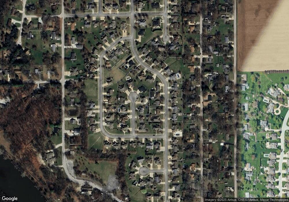
Map
Nearby Homes
- 549 Beach Ave
- 2829 Chippewa Dr
- 310 Barrington Dr
- 284 Barrington Ln
- 1617 Waterford Place
- 1520 Southhampton Dr
- 1387 Westminster Ln
- 2190 W 3100n Rd
- 1380 Sommerset Way
- 3100 Sportsman Club Rd
- 1937 W Potawatamie Trail
- 2 Oxford Place
- 1240 Plum Creek Dr
- 1905 Indian Trail
- lot Briarcliff Ln
- 1850 N Stone Creek Rd
- 1785 Indian Trail
- 2777 Stonefence Dr
- 1278 Theresa Ln
- 1138 Cotes de Bourg
- 552 Beach Ave
- 548 Beach Ave
- 556 Beach Ave
- 541 Turnberry Dr
- 543 Turnberry Dr
- 539 Turnberry Dr
- 544 Beach Ave
- 547 Turnberry Dr
- 551 Turnberry Dr
- 537 Turnberry Dr
- 559 Beach Ave
- 555 Beach Ave
- 553 Turnberry Dr
- 545 Beach Ave
- 540 Beach Ave
- 516 Hollyberry Ln
- 555 Turnberry Dr
- 542 Turnberry Dr
- 544 Turnberry Dr
- 544 Hollyberry Ln
Your Personal Tour Guide
Ask me questions while you tour the home.