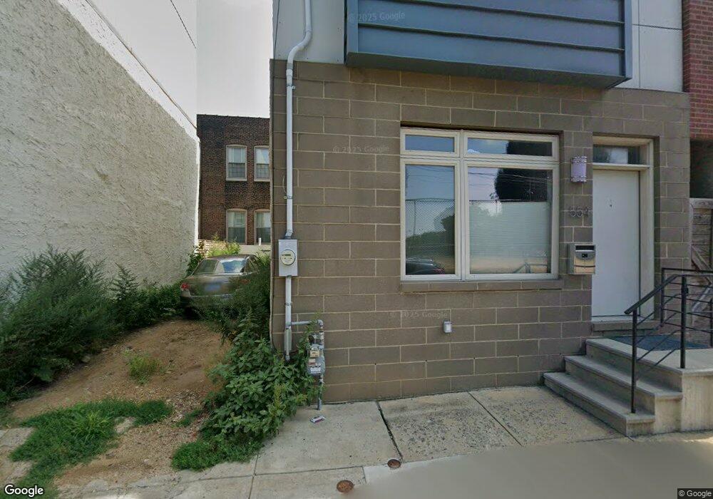
552 E Hewson St Philadelphia, PA 19125
Fishtown NeighborhoodEstimated Value: $262,059 - $339,000
2
Beds
1
Bath
890
Sq Ft
$332/Sq Ft
Est. Value
About This Home
This home is located at 552 E Hewson St, Philadelphia, PA 19125 and is currently estimated at $295,515, approximately $332 per square foot. 552 E Hewson St is a home located in Philadelphia County with nearby schools including Adaire Alexander School, Penn Treaty School, and Holy Name of Jesus.
Ownership History
Date
Name
Owned For
Owner Type
Purchase Details
Closed on
Jun 25, 2018
Sold by
Mccandless Vincent Edward
Bought by
A R Trotter Llc
Current Estimated Value
Purchase Details
Closed on
Mar 21, 2000
Sold by
Mccandless Thomas
Bought by
Mccandless Vincent Edward
Purchase Details
Closed on
Jun 9, 1997
Sold by
Shissler Timothy James
Bought by
Mccandless Thomas
Create a Home Valuation Report for This Property
The Home Valuation Report is an in-depth analysis detailing your home's value as well as a comparison with similar homes in the area
Home Values in the Area
Average Home Value in this Area
Purchase History
| Date | Buyer | Sale Price | Title Company |
|---|---|---|---|
| A R Trotter Llc | $9,800 | Brokers Abstract & Search Co | |
| Mccandless Vincent Edward | -- | -- | |
| Mccandless Thomas | -- | -- |
Source: Public Records
Tax History Compared to Growth
Tax History
| Year | Tax Paid | Tax Assessment Tax Assessment Total Assessment is a certain percentage of the fair market value that is determined by local assessors to be the total taxable value of land and additions on the property. | Land | Improvement |
|---|---|---|---|---|
| 2026 | $176 | $252,200 | $50,440 | $201,760 |
| 2025 | $176 | $252,200 | $50,440 | $201,760 |
| 2024 | $176 | $252,200 | $50,440 | $201,760 |
| 2023 | $176 | $247,100 | $49,420 | $197,680 |
| 2022 | $176 | $12,600 | $12,600 | $0 |
| 2021 | $176 | $0 | $0 | $0 |
| 2020 | $176 | $182,800 | $52,464 | $130,336 |
| 2019 | $176 | $0 | $0 | $0 |
| 2018 | $176 | $0 | $0 | $0 |
| 2017 | $176 | $0 | $0 | $0 |
| 2016 | $176 | $0 | $0 | $0 |
| 2015 | $1,319 | $0 | $0 | $0 |
| 2014 | -- | $128,400 | $5,939 | $122,461 |
| 2012 | -- | $1,344 | $267 | $1,077 |
Source: Public Records
Map
Nearby Homes
- 2002 6 Trenton Ave
- 1856 Frankford Ave
- 2016 Blair St
- 1848 Frankford Ave Unit 1
- 1848 Frankford Ave Unit 2
- 2028 Trenton Ave
- 2102 Berges St Unit B
- 2102 00 Berges St Unit A
- 2814 Hope St
- 2006 N Front St
- 111 W Norris St
- 2135 E Susquehanna Ave
- 2005 Tulip St
- 2015 Tulip St Unit 17
- 2103 E Susquehanna Ave
- 2058 E Susquehanna Ave
- 2208 Amber St
- 1620 E Berks St
- 1817 Waterloo St
- 1809 Waterloo St
- 554 E Hewson St
- 571 E Hewson St
- 548 E Hewson St
- 556 E Hewson St
- 555 E Hewson St
- 544 E Hewson St
- 546 E Hewson St
- 542 E Hewson St
- 2152-54 E Norris St
- 2156 E Norris St
- 2152 E Norris St
- 540 E Hewson St
- 2158 E Norris St
- 2162 E Norris St Unit 401
- 2146 E Norris St
- 2144 E Norris St Unit 1
- 2144 E Norris St Unit 2
- 2144 E Norris St Unit 3
- 2144 E Norris St
- 2160 E Norris St