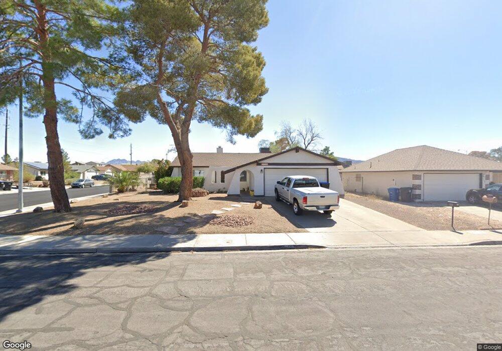
552 E Rolly St Henderson, NV 89011
Pittman-Henderson NeighborhoodEstimated Value: $269,000 - $392,000
4
Beds
2
Baths
1,248
Sq Ft
$284/Sq Ft
Est. Value
About This Home
This home is located at 552 E Rolly St, Henderson, NV 89011 and is currently estimated at $353,908, approximately $283 per square foot. 552 E Rolly St is a home located in Clark County with nearby schools including Edna F. Hinman Elementary School, B Mahlon Brown Academy of International Studies, and Basic Academy of International Studies.
Ownership History
Date
Name
Owned For
Owner Type
Purchase Details
Closed on
Jul 30, 2009
Sold by
Ham Richard S and Ham Tonia A
Bought by
Ham Tonia
Current Estimated Value
Home Financials for this Owner
Home Financials are based on the most recent Mortgage that was taken out on this home.
Original Mortgage
$127,136
Interest Rate
5.17%
Mortgage Type
FHA
Create a Home Valuation Report for This Property
The Home Valuation Report is an in-depth analysis detailing your home's value as well as a comparison with similar homes in the area
Home Values in the Area
Average Home Value in this Area
Purchase History
| Date | Buyer | Sale Price | Title Company |
|---|---|---|---|
| Ham Tonia | -- | First American Title Paseo V |
Source: Public Records
Mortgage History
| Date | Status | Borrower | Loan Amount |
|---|---|---|---|
| Closed | Ham Tonia | $127,136 |
Source: Public Records
Tax History
| Year | Tax Paid | Tax Assessment Tax Assessment Total Assessment is a certain percentage of the fair market value that is determined by local assessors to be the total taxable value of land and additions on the property. | Land | Improvement |
|---|---|---|---|---|
| 2026 | $825 | $55,841 | $29,050 | $26,791 |
| 2025 | $800 | $56,478 | $28,700 | $27,778 |
| 2024 | $778 | $56,478 | $28,700 | $27,778 |
| 2023 | $778 | $53,720 | $26,600 | $27,120 |
| 2022 | $755 | $46,152 | $21,000 | $25,152 |
| 2021 | $733 | $45,216 | $21,000 | $24,216 |
| 2020 | $709 | $41,857 | $17,500 | $24,357 |
| 2019 | $688 | $41,095 | $16,800 | $24,295 |
| 2018 | $668 | $35,504 | $11,900 | $23,604 |
| 2017 | $1,004 | $34,627 | $10,500 | $24,127 |
| 2016 | $634 | $30,751 | $5,950 | $24,801 |
| 2015 | $631 | $25,544 | $5,250 | $20,294 |
| 2014 | $613 | $20,530 | $5,250 | $15,280 |
Source: Public Records
Map
Nearby Homes
- 553 Preston Crest St
- 145 Rohan Crest Ave
- 530 Francesca Crest St
- 536 Close Ave
- 517 Longtree Ave
- 538 Francesca Crest St
- 176 Preston Terrace Ave
- 552 Zuber Ave
- 168 Preston Terrace Ave
- 523 E Barrett St
- 424 Engel Ave
- 417 E Rolly St
- 569 Sellers Place
- 501 Close Ave
- 573 Sellers Place
- 148 Preston Terrace Ave
- 566 Sellers Place Unit 4
- 1329 Price St
- 1610 Lorna Dr
- 129 Preston Terrace Ave
- 548 E Rolly St
- 569 Bastanchury Ave
- 565 Bastanchury Ave
- 544 E Rolly St
- 549 E Rolly St
- 561 Bastanchury Ave Unit IV
- 553 E Rolly St
- 545 E Rolly St
- 1352 Spague St
- 557 E Rolly St
- 540 E Rolly St
- 557 Bastanchury Ave
- 541 E Rolly St
- 561 E Rolly St
- 1345 Spague St
- 1348 Spague St
- 552 Engel Ave
- 548 Engel Ave
- 560 Bastanchury Ave
- 536 E Rolly St
Your Personal Tour Guide
Ask me questions while you tour the home.