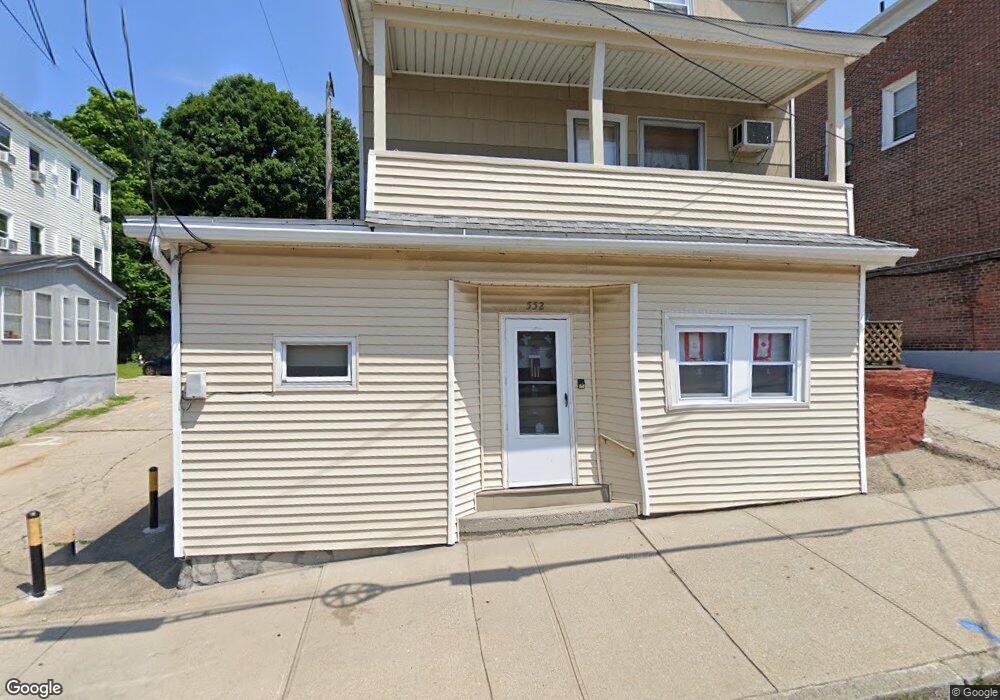
552 E School St Woonsocket, RI 02895
Social District NeighborhoodEstimated Value: $375,936 - $469,000
5
Beds
3
Baths
1,115
Sq Ft
$361/Sq Ft
Est. Value
About This Home
This home is located at 552 E School St, Woonsocket, RI 02895 and is currently estimated at $401,984, approximately $360 per square foot. 552 E School St is a home located in Providence County with nearby schools including Woonsocket High School, Rise Prep Mayoral Academy Middle School, and Rise Prep Mayoral Academy.
Ownership History
Date
Name
Owned For
Owner Type
Purchase Details
Closed on
Jan 1, 1987
Bought by
Cote Normand O and Cote Patricia Ann
Current Estimated Value
Create a Home Valuation Report for This Property
The Home Valuation Report is an in-depth analysis detailing your home's value as well as a comparison with similar homes in the area
Home Values in the Area
Average Home Value in this Area
Purchase History
| Date | Buyer | Sale Price | Title Company |
|---|---|---|---|
| Cote Normand O | -- | -- |
Source: Public Records
Mortgage History
| Date | Status | Borrower | Loan Amount |
|---|---|---|---|
| Open | Cote Normand O | $25,000 | |
| Closed | Cote Normand O | $25,000 | |
| Closed | Cote Normand O | $13,624 |
Source: Public Records
Tax History
| Year | Tax Paid | Tax Assessment Tax Assessment Total Assessment is a certain percentage of the fair market value that is determined by local assessors to be the total taxable value of land and additions on the property. | Land | Improvement |
|---|---|---|---|---|
| 2025 | $3,025 | $269,400 | $57,000 | $212,400 |
| 2024 | $2,805 | $192,900 | $60,200 | $132,700 |
| 2023 | $2,697 | $192,900 | $60,200 | $132,700 |
| 2022 | $2,697 | $192,900 | $60,200 | $132,700 |
| 2021 | $2,425 | $102,100 | $26,200 | $75,900 |
| 2020 | $2,450 | $102,100 | $26,200 | $75,900 |
| 2018 | $2,459 | $102,100 | $26,200 | $75,900 |
| 2017 | $2,881 | $95,700 | $37,900 | $57,800 |
| 2016 | $3,047 | $95,700 | $37,900 | $57,800 |
| 2015 | $3,501 | $95,700 | $37,900 | $57,800 |
| 2014 | $3,127 | $95,600 | $41,700 | $53,900 |
Source: Public Records
Map
Nearby Homes
- 60 Rathbun St
- 685 Social St Unit 308
- 685 Social St Unit 313
- 90 Mill St Unit 202
- 40 Burnside Ave
- 92 Mill St Unit 303
- 538 Wood Ave
- 108 Mill St Unit 104
- 256 Privilege St
- 263 Elm St
- 551 Wood Ave
- 311 Elm St
- 18 Villa Nova St
- 0 Diamond Hill Rd Unit 1406968
- 51 Wood Ave
- 56 Mailloux St
- 13 Ethel St
- 481 N Main St
- 568 Elm St
- 40 Valley St
- 542 E School St
- 520 E School St
- 558 E School St
- 539 E School St
- 130 Rathbun St
- 146 Rathbun St
- 134 Rathbun St
- 154 Rathbun St
- 102 Rathbun St
- 172 Hazel St
- 18 Oak Hill Ave
- 158 Rathbun St
- 515 E School St
- 154 Hazel St
- 125 Rathbun St Unit 129
- 123 Rathbun St
- 490 E School St
- 94 Rathbun St
- 137 Rathbun St
- 54 Elbow St
Your Personal Tour Guide
Ask me questions while you tour the home.