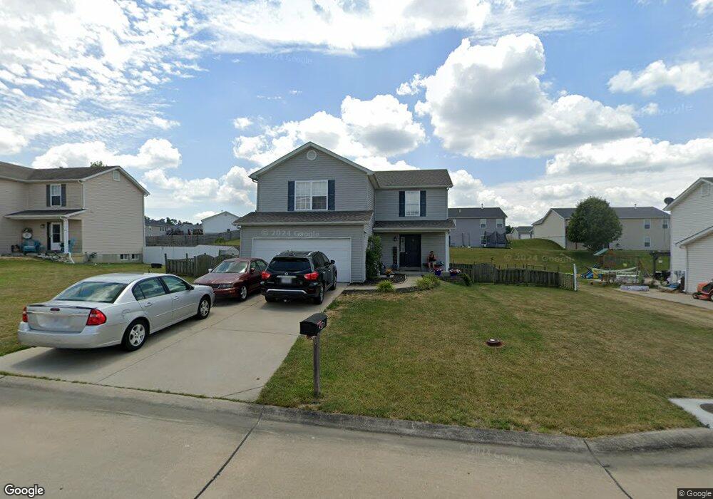
552 Falcons Flight Wright City, MO 63390
Estimated Value: $301,011 - $409,000
4
Beds
3
Baths
1,680
Sq Ft
$199/Sq Ft
Est. Value
About This Home
This home is located at 552 Falcons Flight, Wright City, MO 63390 and is currently estimated at $333,753, approximately $198 per square foot. 552 Falcons Flight is a home located in Warren County with nearby schools including Wright City West Elementary School, Wright City East Elementary School, and Wright City Middle School.
Ownership History
Date
Name
Owned For
Owner Type
Purchase Details
Closed on
May 12, 2010
Sold by
Merrell Denise M and Merrell James H
Bought by
552 Falcons Flight Trust
Current Estimated Value
Purchase Details
Closed on
Dec 21, 2009
Sold by
Budget Homes Llc
Bought by
552 Falcons Flight Trust
Home Financials for this Owner
Home Financials are based on the most recent Mortgage that was taken out on this home.
Original Mortgage
$132,000
Interest Rate
4.82%
Mortgage Type
Construction
Create a Home Valuation Report for This Property
The Home Valuation Report is an in-depth analysis detailing your home's value as well as a comparison with similar homes in the area
Home Values in the Area
Average Home Value in this Area
Purchase History
| Date | Buyer | Sale Price | Title Company |
|---|---|---|---|
| 552 Falcons Flight Trust | -- | None Available | |
| 552 Falcons Flight Trust | -- | None Available |
Source: Public Records
Mortgage History
| Date | Status | Borrower | Loan Amount |
|---|---|---|---|
| Previous Owner | 552 Falcons Flight Trust | $132,000 |
Source: Public Records
Tax History
| Year | Tax Paid | Tax Assessment Tax Assessment Total Assessment is a certain percentage of the fair market value that is determined by local assessors to be the total taxable value of land and additions on the property. | Land | Improvement |
|---|---|---|---|---|
| 2025 | $2,362 | $33,182 | $5,565 | $27,617 |
| 2024 | $2,362 | $29,364 | $4,925 | $24,439 |
| 2023 | $2,052 | $29,364 | $4,925 | $24,439 |
| 2022 | $1,915 | $27,189 | $4,560 | $22,629 |
| 2021 | $1,915 | $27,189 | $4,560 | $22,629 |
| 2020 | $1,942 | $27,189 | $4,560 | $22,629 |
| 2019 | $1,936 | $27,189 | $0 | $0 |
| 2017 | $1,869 | $27,136 | $0 | $0 |
| 2016 | $1,879 | $27,136 | $0 | $0 |
| 2015 | -- | $24,856 | $0 | $0 |
| 2011 | -- | $24,140 | $0 | $0 |
Source: Public Records
Map
Nearby Homes
- 523 Falcons Flight
- 711 Talon Dr
- 135 Falcons Crest Dr
- 600 Split Rail Ct
- 917 Gimli Ln
- 708 Vicksburg Ln
- 26950 Trembley Ln
- 111 Peruque Creek Manor
- 115 Peruque Creek Manor
- 113 Peruque Creek Manor
- 117 Peruque Creek Manor
- 118 Peruque Creek Manor
- 207 Peruque Creek Manor
- 116 Peruque Creek Manor
- 110 Peruque Creek Manor
- 12 Willow Ct
- 0 Unknown Unit MIS26001315
- 0 Unknown Unit MIS26001358
- 0 Unknown Unit MIS26001328
- 0 Unknown Unit MIS25074467
- 552 Falcons Flight Unit FLIGHT
- 554 Falcons Flight Unit FLIGHT
- 554 Falcons Flight
- 550 Falcons Flight Unit FLIGHT
- 550 Falcons Flight
- 521 Falcons Flight
- 521 Falcons Flight
- 521 Falcons Flight
- 551Lot 37 Falcons Flight
- 551 Falcons Flight Lot 37
- 553Lot 36 Falcons Flight
- 523 Falcons Flight
- 548 Falcons Flight
- 556 Falcons Flight Unit FLIGHT
- 556 Falcons Flight
- 706Lot 30 Talon Dr
- 706 Talon Lot 30 Dr
- 551 Falcons Flight
- 510Lot 75 Falcons Flight
- 510 Falcons Flight Lot 75
Your Personal Tour Guide
Ask me questions while you tour the home.
