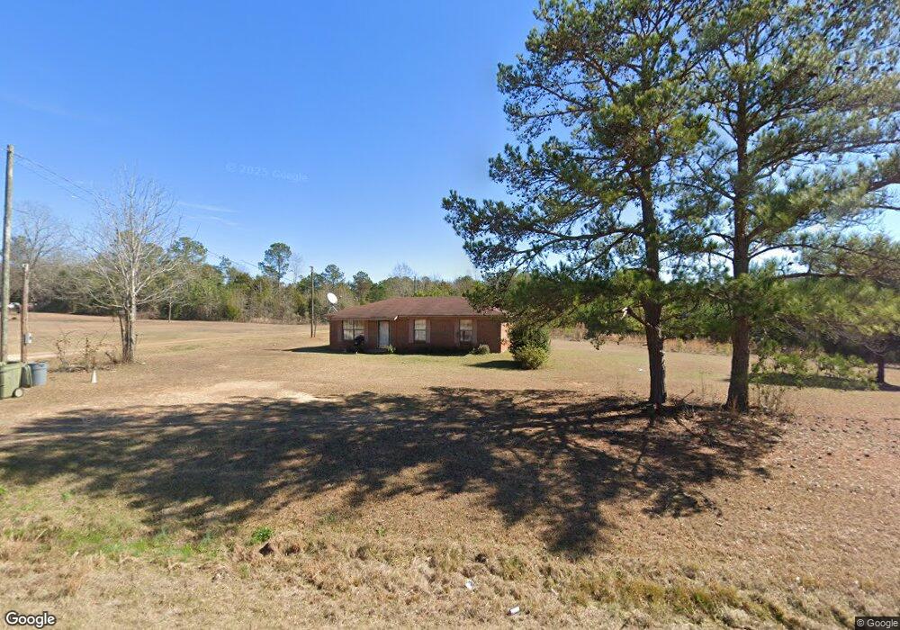
552 Ga Highway 39 S Georgetown, GA 39854
Estimated Value: $59,696 - $175,000
2
Beds
1
Bath
1,075
Sq Ft
$98/Sq Ft
Est. Value
About This Home
This home is located at 552 Ga Highway 39 S, Georgetown, GA 39854 and is currently estimated at $104,924, approximately $97 per square foot. 552 Ga Highway 39 S is a home located in Quitman County with nearby schools including Quitman County Elementary School and Quitman County High School.
Ownership History
Date
Name
Owned For
Owner Type
Purchase Details
Closed on
Jan 1, 2006
Sold by
Williams Annie W
Bought by
Williams Annie W
Current Estimated Value
Purchase Details
Closed on
Jun 4, 1998
Sold by
Cooper Sylvester Est
Bought by
Williams Annie W
Purchase Details
Closed on
Oct 22, 1985
Sold by
Cooper Sylvester Est
Bought by
Cooper Sylvester Est
Purchase Details
Closed on
Jan 1, 1980
Sold by
Bell Jane H
Bought by
Cooper Sylvester Est
Purchase Details
Closed on
Jan 1, 1979
Bought by
Cooper Sylvester Est
Create a Home Valuation Report for This Property
The Home Valuation Report is an in-depth analysis detailing your home's value as well as a comparison with similar homes in the area
Home Values in the Area
Average Home Value in this Area
Purchase History
| Date | Buyer | Sale Price | Title Company |
|---|---|---|---|
| Williams Annie W | $47,400 | -- | |
| Williams Annie W | -- | -- | |
| Cooper Sylvester Est | -- | -- | |
| Cooper Sylvester Est | -- | -- | |
| Bell Jane H | -- | -- | |
| Cooper Sylvester Est | -- | -- |
Source: Public Records
Tax History Compared to Growth
Tax History
| Year | Tax Paid | Tax Assessment Tax Assessment Total Assessment is a certain percentage of the fair market value that is determined by local assessors to be the total taxable value of land and additions on the property. | Land | Improvement |
|---|---|---|---|---|
| 2025 | $482 | $19,900 | $3,600 | $16,300 |
| 2024 | $482 | $19,900 | $3,600 | $16,300 |
| 2023 | $485 | $19,900 | $3,600 | $16,300 |
| 2022 | $485 | $19,900 | $3,600 | $16,300 |
| 2021 | $327 | $20,077 | $6,314 | $13,763 |
| 2020 | $327 | $20,077 | $6,314 | $13,763 |
| 2019 | $327 | $20,077 | $6,314 | $13,763 |
| 2018 | $643 | $20,077 | $6,314 | $13,763 |
| 2017 | $256 | $20,684 | $6,314 | $14,370 |
| 2016 | $265 | $20,684 | $6,314 | $14,370 |
| 2015 | -- | $20,684 | $6,314 | $14,370 |
| 2014 | -- | $20,684 | $6,314 | $14,370 |
| 2013 | -- | $20,684 | $6,313 | $14,370 |
Source: Public Records
Map
Nearby Homes
- 24 Point Dr
- 98 Cool Branch Rd
- 000 Cool Branch Rd
- 0 Cool Branch Rd
- 1 Cool Branch Rd
- 191 Lewis Moore Rd
- 327 Deer Point Rd
- 327 Deer Point Rd Unit 492 +/- ACRES
- 47 Plantation Blvd
- 43 Plantation Blvd
- 00 Plantation Blvd
- 48 Ralph Sr Rd
- Lot # 12 Tanglewood Trail Subdivision
- Lot # 3 Tanglewood Trail Subdivision
- Lot # 10 Tanglewood Trail Subdivision
- Lot # 6 Tanglewood Trail Subdivision
- Lot # 11 Tanglewood Trail Subdividion
- Lot # 9 Tanglewood Trail Subdivision
- Lot # 7 Tanglewood Trail Subdivision
- Lot # 4 Tanglewood Trail Subdivision
- 560 Ga Highway 39 S
- 554 Ga Highway 39 S
- 174 Ga Highway 39 Blvd S
- 534 Ga Highway 39 S
- 568 Ga Highway 39 S
- 306 Georgia 39
- 518 Ga Highway 39 S
- 4 Byrd Rd
- 70 Byrd Rd
- 50 Mandaville Rd
- 54 Mandaville Rd
- 609 Ga Highway 39 S
- 610 Georgia 39
- 610 Ga Highway 39 S
- 72 Mandaville Rd
- 628 Georgia 39
- 3 Pine Loop
- 696 Ga Highway 39 S
- 1 Griggs Ln
- 37 Cool Branch Rd