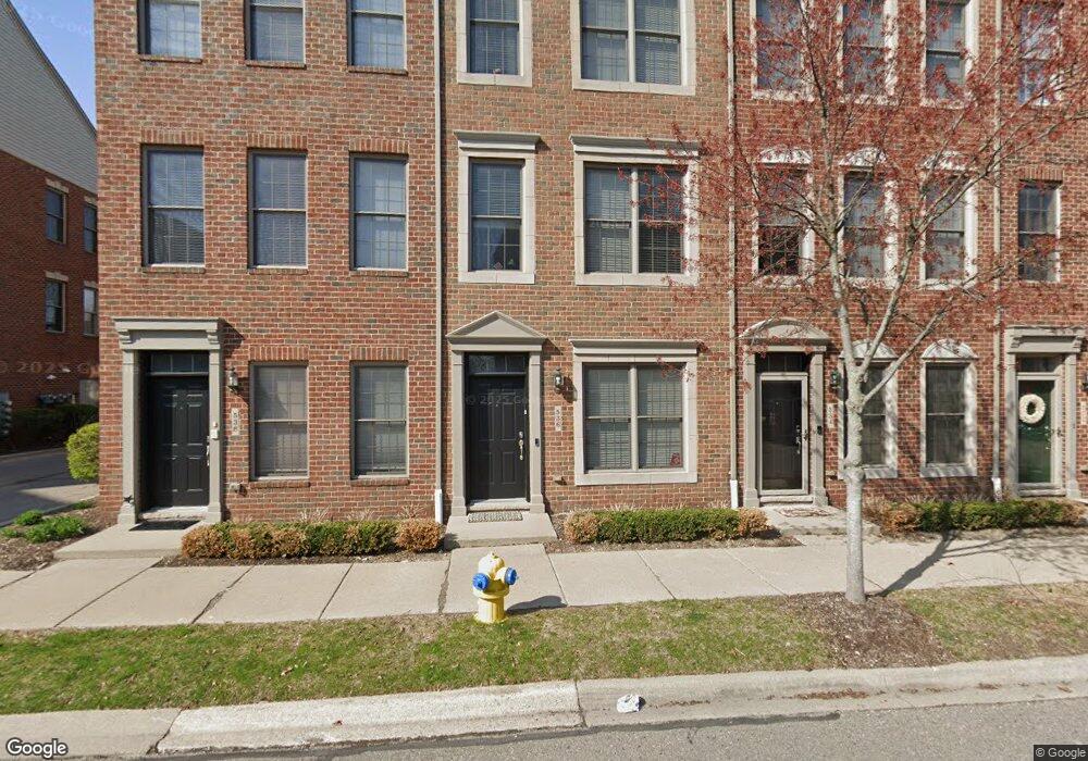
552 Graten St Unit 4 26 Birmingham, MI 48009
Estimated Value: $560,082 - $746,000
2
Beds
3
Baths
1,894
Sq Ft
$330/Sq Ft
Est. Value
About This Home
This home is located at 552 Graten St Unit 4 26, Birmingham, MI 48009 and is currently estimated at $625,271, approximately $330 per square foot. 552 Graten St Unit 4 26 is a home located in Oakland County with nearby schools including Pembroke Elementary School, Derby Middle School, and Ernest W. Seaholm High School.
Ownership History
Date
Name
Owned For
Owner Type
Purchase Details
Closed on
Oct 4, 2019
Sold by
Gsrei Llc
Bought by
Santhosh Natarajan N
Current Estimated Value
Purchase Details
Closed on
Dec 12, 2018
Sold by
Santhosh Natarajan N and Achary Geeta
Bought by
Gsrei Llc
Purchase Details
Closed on
Dec 4, 2018
Sold by
Winters Pamela A and Cassell Hovie J
Bought by
Santhosh Natarajan N and Achary Geeta
Purchase Details
Closed on
Jul 15, 2005
Sold by
Hutchingham Development Co Llc
Bought by
Winters Pamela A and Cassell Hovie J
Create a Home Valuation Report for This Property
The Home Valuation Report is an in-depth analysis detailing your home's value as well as a comparison with similar homes in the area
Home Values in the Area
Average Home Value in this Area
Purchase History
| Date | Buyer | Sale Price | Title Company |
|---|---|---|---|
| Santhosh Natarajan N | -- | None Available | |
| Gsrei Llc | -- | None Available | |
| Santhosh Natarajan N | $350,000 | Bankers Title Settlement Se | |
| Winters Pamela A | $421,915 | Title One Inc |
Source: Public Records
Tax History Compared to Growth
Tax History
| Year | Tax Paid | Tax Assessment Tax Assessment Total Assessment is a certain percentage of the fair market value that is determined by local assessors to be the total taxable value of land and additions on the property. | Land | Improvement |
|---|---|---|---|---|
| 2024 | $8,711 | $215,490 | $0 | $0 |
| 2023 | $8,313 | $204,060 | $0 | $0 |
| 2022 | $10,022 | $194,360 | $0 | $0 |
| 2021 | $10,021 | $192,980 | $0 | $0 |
| 2020 | $8,121 | $194,760 | $0 | $0 |
| 2019 | $10,061 | $190,870 | $0 | $0 |
| 2018 | $6,559 | $192,360 | $0 | $0 |
| 2017 | $6,465 | $189,940 | $0 | $0 |
| 2016 | $6,437 | $186,610 | $0 | $0 |
| 2015 | -- | $159,870 | $0 | $0 |
| 2014 | -- | $133,090 | $0 | $0 |
| 2011 | -- | $113,130 | $0 | $0 |
Source: Public Records
Map
Nearby Homes
- 425 Lewis Ct Unit 47
- 1971 Bowers St
- 1982 Haynes St
- 2051 Villa Rd Unit 304
- 2051 Villa Rd Unit 302
- 1840 Holland St
- 1777 Hazel St
- 1963 Cole St
- 3237 Newbury Place
- 1773 Villa Rd
- 1696 Hazel St
- 1745 Webster St
- 1673 Hazel St
- 000 Taunton Rd
- 1633 Villa Rd
- 1760 Cole St
- 1982 E Lincoln St
- 3253 Newbury Place Unit 19
- 1438 Devon Ln
- 1393 Raliegh Place Unit 93
- 616 Lewis St Unit 436
- 524 Graten St Unit Bldg-Unit
- 534 Graten St Unit Bldg-Unit
- 618 Lewis St Unit Bldg-Unit
- 622 Lewis St Unit 49
- 620 Lewis St Unit 48
- 618 Lewis St Unit 47
- 616 Lewis St
- 612 Lewis St Unit 44
- 608 Lewis St Unit 42
- 606 Lewis St Unit 41
- 517 Graten St Unit 38
- 519 Graten St Unit 37
- 521 Graten St Unit 36
- 523 Graten St
- 525 Graten St Unit 34
- 527 Graten St
- 533 Graten St Unit 30
- 535 Graten St Unit 29
- 539 Graten St