552 Hc 64 Eufaula, OK 74432
Estimated Value: $305,000 - $331,313
3
Beds
2
Baths
1,418
Sq Ft
$224/Sq Ft
Est. Value
About This Home
This home is located at 552 Hc 64, Eufaula, OK 74432 and is currently estimated at $318,157, approximately $224 per square foot. 552 Hc 64 is a home located in McIntosh County with nearby schools including Stidham Public School.
Ownership History
Date
Name
Owned For
Owner Type
Purchase Details
Closed on
Oct 5, 2021
Sold by
Blocker Todd Aaron and Blocker Maranda Elizabeth
Bought by
Murchison Christopher and Murchison Donna
Current Estimated Value
Purchase Details
Closed on
Feb 8, 2017
Sold by
Buck Randal and Buck Bettina
Bought by
Blocker Todd Aaron and Blocker Maranda Elizabeth
Home Financials for this Owner
Home Financials are based on the most recent Mortgage that was taken out on this home.
Original Mortgage
$195,000
Interest Rate
3.25%
Mortgage Type
USDA
Purchase Details
Closed on
Aug 15, 2016
Sold by
Mengwasser Cheryl Ann and Mengwasser Robert Paul
Bought by
Buck Randal and Buck Bettina
Home Financials for this Owner
Home Financials are based on the most recent Mortgage that was taken out on this home.
Original Mortgage
$213,460
Interest Rate
3.42%
Mortgage Type
Future Advance Clause Open End Mortgage
Create a Home Valuation Report for This Property
The Home Valuation Report is an in-depth analysis detailing your home's value as well as a comparison with similar homes in the area
Purchase History
| Date | Buyer | Sale Price | Title Company |
|---|---|---|---|
| Murchison Christopher | $365,000 | Nations Title Of Okc | |
| Blocker Todd Aaron | $195,000 | None Available | |
| Buck Randal | $260,000 | None Available |
Source: Public Records
Mortgage History
| Date | Status | Borrower | Loan Amount |
|---|---|---|---|
| Previous Owner | Blocker Todd Aaron | $195,000 | |
| Previous Owner | Buck Randal | $213,460 |
Source: Public Records
Tax History
| Year | Tax Paid | Tax Assessment Tax Assessment Total Assessment is a certain percentage of the fair market value that is determined by local assessors to be the total taxable value of land and additions on the property. | Land | Improvement |
|---|---|---|---|---|
| 2025 | $23 | $314 | $314 | $0 |
| 2024 | $23 | $314 | $314 | $0 |
| 2023 | $23 | $296 | $296 | $0 |
| 2022 | $23 | $296 | $296 | $0 |
| 2021 | $106 | $1,388 | $1,388 | $0 |
| 2020 | $890 | $11,686 | $1,752 | $9,934 |
| 2019 | $890 | $11,686 | $1,752 | $9,934 |
| 2018 | $890 | $11,685 | $1,752 | $9,933 |
| 2017 | $332 | $4,356 | $653 | $3,703 |
| 2016 | $322 | $4,229 | $655 | $3,574 |
| 2015 | $204 | $3,683 | $225 | $3,458 |
| 2014 | $196 | $3,575 | $218 | $3,357 |
Source: Public Records
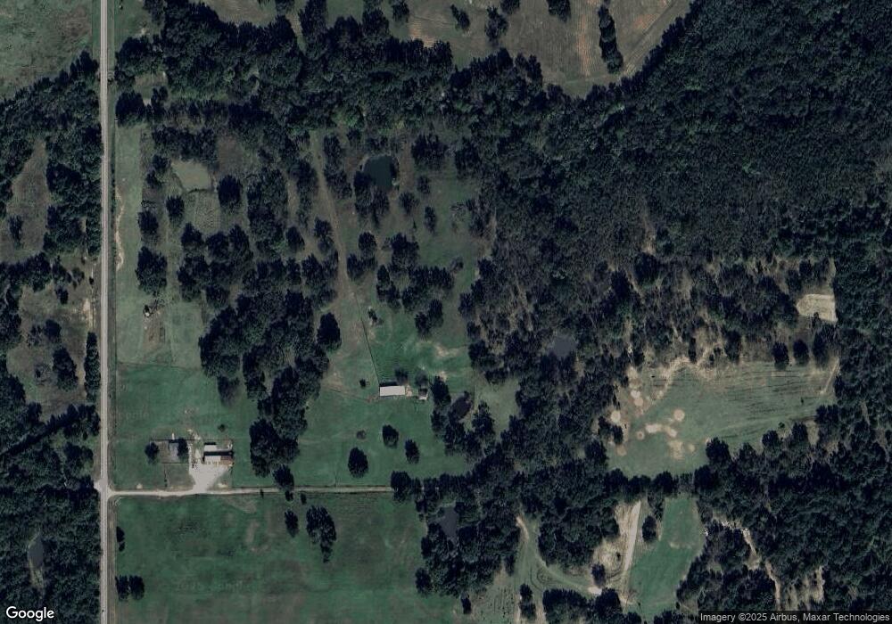
Map
Nearby Homes
- 114108 S 4110 Rd
- 0 S 4110 Rd
- 1 Ns 4120th Rd
- 28 E 1170 Rd
- 0000 N4100 Rd
- 425275 E 1170 Rd
- 0 E Ave Unit 104 1153066
- 411064 E1180 Rd
- TBD S 4110 Rd
- 118188 S 4110 Rd
- 0000 N 4100 Rd
- 410800 E 1135 Rd
- 19 Breckenridge St
- 115302 S 4140 Rd
- 413285 E 1140 Rd
- 64 3745
- 116892 S 4142 Rd
- 0 County Road 1170
- 414498 E1170 Rd
- 1 Hwy 9 W
Your Personal Tour Guide
Ask me questions while you tour the home.