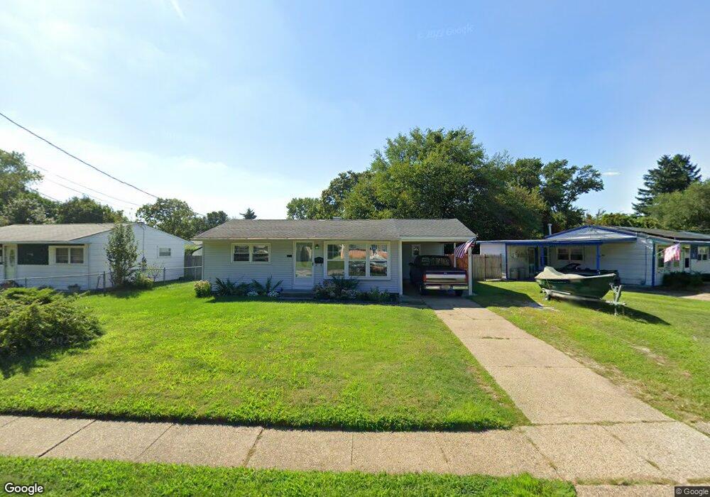
552 N Coles Ave Maple Shade, NJ 08052
Estimated Value: $203,737 - $289,000
Studio
--
Bath
804
Sq Ft
$310/Sq Ft
Est. Value
About This Home
This home is located at 552 N Coles Ave, Maple Shade, NJ 08052 and is currently estimated at $249,434, approximately $310 per square foot. 552 N Coles Ave is a home located in Burlington County with nearby schools including Ralph J Steinhauer Elementary School, Maude M. Wilkins Elementary School, and Howard R Yocum School.
Ownership History
Date
Name
Owned For
Owner Type
Purchase Details
Closed on
Apr 25, 2005
Sold by
Emory Robert F
Bought by
Emory Robert F and Emory Donna L
Current Estimated Value
Home Financials for this Owner
Home Financials are based on the most recent Mortgage that was taken out on this home.
Original Mortgage
$97,000
Interest Rate
6.01%
Mortgage Type
New Conventional
Create a Home Valuation Report for This Property
The Home Valuation Report is an in-depth analysis detailing your home's value as well as a comparison with similar homes in the area
Home Values in the Area
Average Home Value in this Area
Purchase History
| Date | Buyer | Sale Price | Title Company |
|---|---|---|---|
| Emory Robert F | -- | -- |
Source: Public Records
Mortgage History
| Date | Status | Borrower | Loan Amount |
|---|---|---|---|
| Closed | Emory Robert F | $97,000 |
Source: Public Records
Tax History
| Year | Tax Paid | Tax Assessment Tax Assessment Total Assessment is a certain percentage of the fair market value that is determined by local assessors to be the total taxable value of land and additions on the property. | Land | Improvement |
|---|---|---|---|---|
| 2025 | $4,305 | $113,400 | $48,900 | $64,500 |
| 2024 | $4,180 | $113,400 | $48,900 | $64,500 |
Source: Public Records
Map
Nearby Homes
- 27 Indian Queen Ln
- 331 Collins Ln
- 654 N Coles Ave
- 3444 New Jersey Ave
- 2819 Haddonfield Rd
- 2905 Powell Ave
- 480 W Front St
- 8539 Bryn Mawr Ave
- 63 Mecray Ln
- 2 Wyndale Ave
- 12 Overbrook Ave
- 207 E Park Ave
- 8323 Maple Ave
- 22 Theodore Ave
- 728 Haverford Ave
- 8661 Wyndam Rd
- 106 Avignon Way
- 2 Gainor Ave
- 9 Woodbine Ave
- 411 C12 Stiles Ave Unit C-12
- 556 N Coles Ave
- 548 N Coles Ave
- 560 N Coles Ave
- 547 Oxford Dr
- 544 N Coles Ave
- 551 Oxford Dr
- 543 Oxford Dr
- 564 N Coles Ave
- 561 N Coles Ave
- 555 Oxford Dr
- 565 N Coles Ave
- 549 N Coles Ave
- 553 N Coles Ave
- 557 N Coles Ave
- 569 N Coles Ave
- 539 Oxford Dr
- 536 N Coles Ave
- 310 Lanci Rd
- 568 N Coles Ave
- 573 N Coles Ave