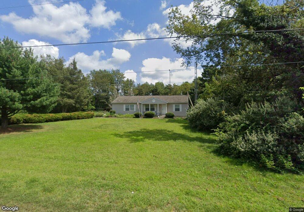
552 Newport Rd Millville, NJ 08332
Lawrence Township NeighborhoodEstimated Value: $269,000 - $408,000
--
Bed
--
Bath
1,908
Sq Ft
$176/Sq Ft
Est. Value
About This Home
This home is located at 552 Newport Rd, Millville, NJ 08332 and is currently estimated at $335,482, approximately $175 per square foot. 552 Newport Rd is a home located in Cumberland County.
Ownership History
Date
Name
Owned For
Owner Type
Purchase Details
Closed on
Jun 18, 2009
Sold by
Puff Christopher
Bought by
Golley Raymond and Golley Angela
Current Estimated Value
Home Financials for this Owner
Home Financials are based on the most recent Mortgage that was taken out on this home.
Original Mortgage
$169,922
Outstanding Balance
$110,448
Interest Rate
5.31%
Mortgage Type
FHA
Estimated Equity
$225,034
Purchase Details
Closed on
Sep 14, 2005
Sold by
Burris Catherine
Bought by
Puff Christopher
Home Financials for this Owner
Home Financials are based on the most recent Mortgage that was taken out on this home.
Original Mortgage
$153,600
Interest Rate
5.84%
Create a Home Valuation Report for This Property
The Home Valuation Report is an in-depth analysis detailing your home's value as well as a comparison with similar homes in the area
Home Values in the Area
Average Home Value in this Area
Purchase History
| Date | Buyer | Sale Price | Title Company |
|---|---|---|---|
| Golley Raymond | $185,000 | -- | |
| Puff Christopher | $192,000 | -- |
Source: Public Records
Mortgage History
| Date | Status | Borrower | Loan Amount |
|---|---|---|---|
| Open | Golley Raymond | $169,922 | |
| Previous Owner | Puff Christopher | $153,600 |
Source: Public Records
Tax History Compared to Growth
Tax History
| Year | Tax Paid | Tax Assessment Tax Assessment Total Assessment is a certain percentage of the fair market value that is determined by local assessors to be the total taxable value of land and additions on the property. | Land | Improvement |
|---|---|---|---|---|
| 2025 | $6,230 | $214,300 | $42,300 | $172,000 |
| 2024 | $6,230 | $214,300 | $42,300 | $172,000 |
| 2023 | $6,215 | $214,300 | $42,300 | $172,000 |
| 2022 | $6,298 | $214,300 | $42,300 | $172,000 |
| 2021 | $5,656 | $214,300 | $42,300 | $172,000 |
| 2020 | $6,183 | $214,300 | $42,300 | $172,000 |
| 2019 | $6,033 | $214,300 | $42,300 | $172,000 |
| 2018 | $5,778 | $214,300 | $42,300 | $172,000 |
| 2017 | $5,493 | $214,300 | $42,300 | $172,000 |
| 2016 | $5,246 | $214,300 | $42,300 | $172,000 |
| 2015 | $5,079 | $214,300 | $42,300 | $172,000 |
| 2014 | $4,869 | $190,400 | $42,300 | $148,100 |
Source: Public Records
Map
Nearby Homes
- 3296 Cedarville Rd
- 0 W Pern Ave Unit NJCB2025914
- 0 Thelma Ave Unit NJCB2022578
- 715 Ramah Rd
- 297 Factory Rd
- 0 Roosevelt St
- 0 Carpenter Ave
- 3030 Garfield Ave
- 0 Lexington Ave
- 643 Ramah Rd
- 3157 Lexington Ave
- 5679 Stone Ave
- 2776 Cedar St
- 3008 Martin Ave
- 3014 Martin Ave
- 442 Shaws Mill Rd
- 13169 W Buckshutem Rd
- 13132 W Buckshutem Rd
- 8202 W Buckshutem Rd
- 186 Schaffer Ave
- 558 Newport Rd
- 58 Royal Ave
- 539 Newport Rd
- 545 Newport Rd
- 549 Newport Rd
- 51 Royal Ave
- 0 Folson Ave
- 561 Newport Rd
- 4 Jerome Ave
- 0 Sussex-Newport-center Gr (Aka Royal Ave) Unit NJCB132448
- Essex-Newport-Center 0
- 7 Folson Rd
- 0 Clark Essex Ave
- 24 Royal Ave
- 28 Royal Ave
- 523 Newport Rd
- 9 Snyder Ave
- 571 Newport Rd
- 0 Grant Folson Ave Unit NJCB2000942
- 0 Grant Folson Ave Unit NJCB130974