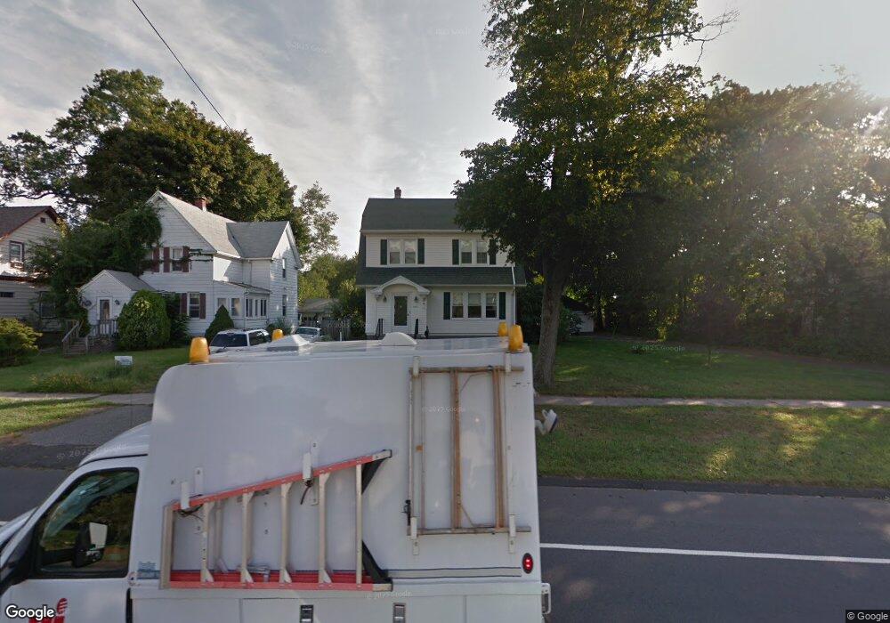
552 Nichols Ave Stratford, CT 06614
Estimated Value: $486,000 - $600,000
2
Beds
2
Baths
2,036
Sq Ft
$254/Sq Ft
Est. Value
About This Home
This home is located at 552 Nichols Ave, Stratford, CT 06614 and is currently estimated at $517,788, approximately $254 per square foot. 552 Nichols Ave is a home located in Fairfield County with nearby schools including Nichols Elementary School, David Wooster Middle School, and Stratford High School.
Ownership History
Date
Name
Owned For
Owner Type
Purchase Details
Closed on
Aug 30, 2023
Sold by
Collins Michael J and Collins Janet S
Bought by
Collins Katherine M
Current Estimated Value
Purchase Details
Closed on
Aug 6, 1984
Bought by
Collins Michael J and Collins Janet
Create a Home Valuation Report for This Property
The Home Valuation Report is an in-depth analysis detailing your home's value as well as a comparison with similar homes in the area
Home Values in the Area
Average Home Value in this Area
Purchase History
| Date | Buyer | Sale Price | Title Company |
|---|---|---|---|
| Collins Katherine M | -- | None Available | |
| Collins Michael J | $88,000 | -- |
Source: Public Records
Mortgage History
| Date | Status | Borrower | Loan Amount |
|---|---|---|---|
| Previous Owner | Collins Michael J | $52,000 |
Source: Public Records
Tax History Compared to Growth
Tax History
| Year | Tax Paid | Tax Assessment Tax Assessment Total Assessment is a certain percentage of the fair market value that is determined by local assessors to be the total taxable value of land and additions on the property. | Land | Improvement |
|---|---|---|---|---|
| 2025 | $7,398 | $184,030 | $84,070 | $99,960 |
| 2024 | $7,398 | $184,030 | $84,070 | $99,960 |
| 2023 | $7,398 | $184,030 | $84,070 | $99,960 |
| 2022 | $7,262 | $184,030 | $84,070 | $99,960 |
| 2021 | $7,264 | $184,030 | $84,070 | $99,960 |
| 2020 | $7,295 | $184,030 | $84,070 | $99,960 |
| 2019 | $7,041 | $176,610 | $68,810 | $107,800 |
| 2018 | $7,047 | $176,610 | $68,810 | $107,800 |
| 2017 | $7,059 | $176,610 | $68,810 | $107,800 |
| 2016 | $6,886 | $176,610 | $68,810 | $107,800 |
| 2015 | $6,531 | $176,610 | $68,810 | $107,800 |
| 2014 | $6,417 | $180,110 | $77,280 | $102,830 |
Source: Public Records
Map
Nearby Homes
- 83 William St
- 140 Spring St
- 810 Nichols Ave
- 55 Woodcrest Ave
- 145 Wiebe Ave
- 90 Mercer St
- 309 Freeman Ave
- 702 King St
- 123 Klondike St
- 1867 Broadbridge Ave
- 45 Albright Ave
- 152 Stonybrook Rd
- 195 Lobdell Dr
- 58 Auburn St
- 1700 Broadbridge Ave Unit C26
- 1700 Broadbridge Ave Unit A16
- 1700 Broadbridge Ave Unit B17
- 202 Canaan Rd
- 125 Meadowbrook Rd
- 422 Swanson Ave
- 534 Nichols Ave
- 562 Nichols Ave
- 572 Nichols Ave
- 1504 North Ave
- 582 Nichols Ave
- 1498 North Ave
- 1515 North Ave
- 543 Nichols Ave
- 588 Nichols Ave
- 559 Nichols Ave
- 523 Nichols Ave
- 569 Nichols Ave
- 585 Nichols Ave
- 594 Nichols Ave
- 1470 North Ave
- 495 Nichols Ave
- 1464 North Ave
- 602 Nichols Ave
- 45 Grace Ln
- 25 Grace Ln