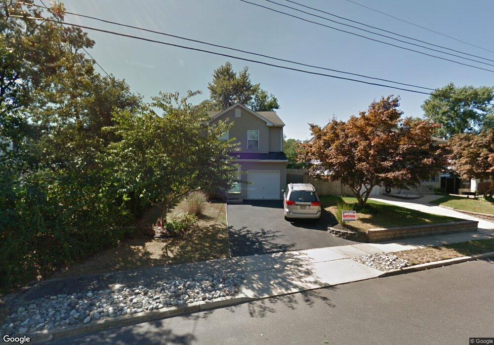
552 Oregon Ave Brick, NJ 08724
Brick AreaEstimated Value: $483,652 - $608,000
About This Home
This home is located at 552 Oregon Ave, Brick, NJ 08724 and is currently estimated at $567,163, approximately $308 per square foot. 552 Oregon Ave is a home located in Ocean County with nearby schools including Lanes Mill Elementary School, Veterans Memorial Middle School, and Brick Township Memorial High School.
Ownership History
We collect this data history from publicly available records. To have your information removed, we recommend requesting removal directly through your county’s website.
Purchase Details
Home Values in the Area
Average Home Value in this Area
Purchase History
We collect this data history from publicly available records. To have your information removed, we recommend requesting removal directly through your county’s website.
| Date | Buyer | Sale Price | Title Company |
|---|---|---|---|
| $179,900 | -- |
Tax History
We collect this data history from publicly available records. To have your information removed, we recommend requesting removal directly through your county’s website.
| Year | Tax Paid | Tax Assessment Tax Assessment Total Assessment is a certain percentage of the fair market value that is determined by local assessors to be the total taxable value of land and additions on the property. | Land | Improvement |
|---|---|---|---|---|
| 2026 | $7,315 | $266,000 | $122,700 | $143,300 |
| 2025 | $7,315 | $266,000 | $122,700 | $143,300 |
| 2024 | $6,363 | $266,000 | $122,700 | $143,300 |
| 2023 | $6,275 | $266,000 | $122,700 | $143,300 |
| 2022 | $6,525 | $266,000 | $122,700 | $143,300 |
| 2021 | $5,679 | $266,000 | $122,700 | $143,300 |
| 2020 | $6,304 | $266,000 | $122,700 | $143,300 |
| 2019 | $6,182 | $266,000 | $122,700 | $143,300 |
| 2018 | $6,041 | $266,000 | $122,700 | $143,300 |
| 2017 | $5,879 | $266,000 | $122,700 | $143,300 |
| 2016 | $5,836 | $266,000 | $122,700 | $143,300 |
| 2015 | $5,682 | $266,000 | $122,700 | $143,300 |
| 2014 | $5,626 | $266,000 | $122,700 | $143,300 |
Map
- 70 Greenwood Loop Rd
- 108 Greenwood Loop Rd Unit 5G
- 586 Pennsylvania Ave
- 650 Millbrook Rd
- 720 Maidenstone Dr
- 618 Illinois Ave
- 212 Greenwood Loop Rd
- 1162 Sawmill Rd
- 600 Carolina Ave
- 494 New York Ave
- 1116 Alaska Ave
- 300 Greenwood Loop Rd Unit 12G
- 286 Greenwood Loop Rd
- 621 Windcrest Ct
- 166 Sawmill Rd Unit 563
- 194 Sawmill Rd Unit 480
- 807 Constitution Dr
- 779 Lexington Dr
- 21 Piedmont Ct
- 953 Quincy Dr
- 557 Oregon Ave
- 561 Oregon Ave
- 555 Oregon Ave
- 550 Kirk Ln
- 556 Oregon Ave
- 552 Kirk Ln
- 560 Oregon Ave
- 565 Oregon Ave
- 2174 Lanes Mill Rd
- 555 Colorado Ave
- 2187 Lanes Mill Rd
- 2181 Lanes Mill Rd
- 561 Colorado Ave
- 567 Oregon Ave
- 565 Colorado Ave
- 12 Greenwood Loop Rd
- 545 Oregon Ave
- 14 Greenwood Loop Rd
- 16 Greenwood Loop Rd Unit 2N
- 548 Nebraska Ave
Ask me questions while you tour the home.