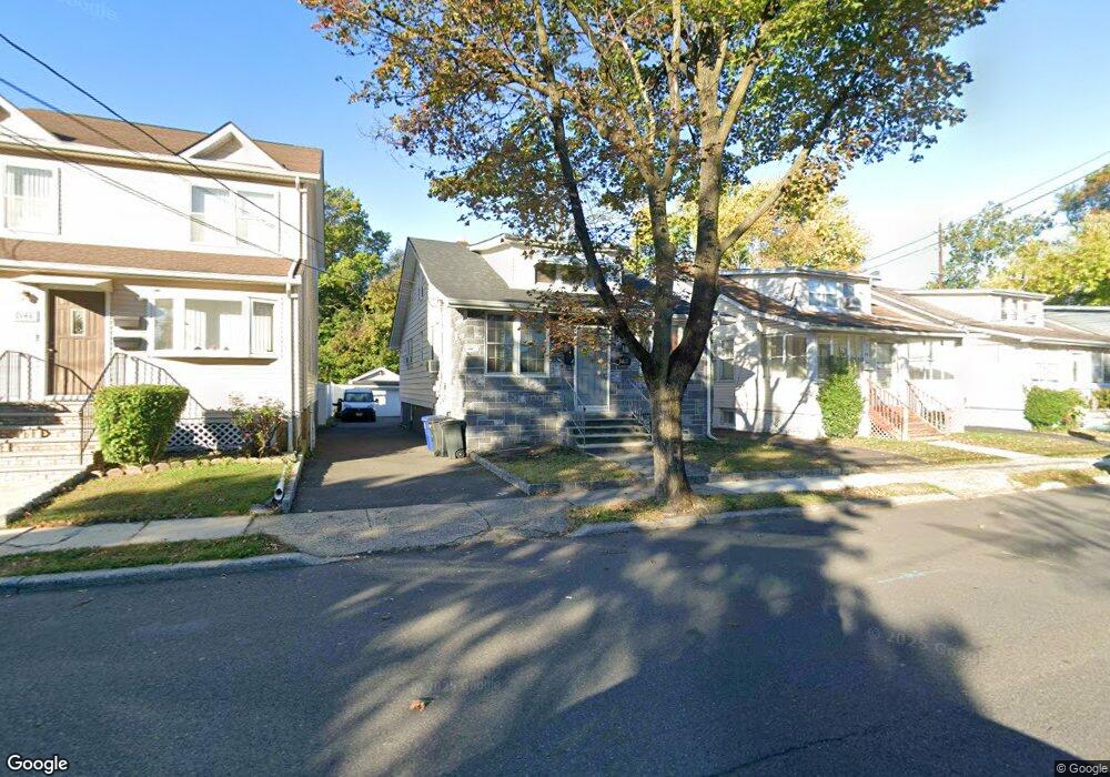
552 Paul St Hillside, NJ 07205
Estimated Value: $427,814 - $579,000
Studio
--
Bath
1,848
Sq Ft
$276/Sq Ft
Est. Value
About This Home
This home is located at 552 Paul St, Hillside, NJ 07205 and is currently estimated at $509,204, approximately $275 per square foot. 552 Paul St is a home located in Union County with nearby schools including Abram P. Morris-Saybrook Elementary School, Calvin Coolidge Elementary School, and Hurden Looker School.
Ownership History
Date
Name
Owned For
Owner Type
Purchase Details
Closed on
Aug 12, 1997
Sold by
Mcmillian Katherine
Bought by
Saint Amand Jacques L
Current Estimated Value
Home Financials for this Owner
Home Financials are based on the most recent Mortgage that was taken out on this home.
Original Mortgage
$138,650
Outstanding Balance
$20,563
Interest Rate
7.42%
Mortgage Type
FHA
Estimated Equity
$488,641
Create a Home Valuation Report for This Property
The Home Valuation Report is an in-depth analysis detailing your home's value as well as a comparison with similar homes in the area
Home Values in the Area
Average Home Value in this Area
Purchase History
| Date | Buyer | Sale Price | Title Company |
|---|---|---|---|
| Saint Amand Jacques L | $140,000 | -- |
Source: Public Records
Mortgage History
| Date | Status | Borrower | Loan Amount |
|---|---|---|---|
| Open | Saint Amand Jacques L | $138,650 |
Source: Public Records
Tax History Compared to Growth
Tax History
| Year | Tax Paid | Tax Assessment Tax Assessment Total Assessment is a certain percentage of the fair market value that is determined by local assessors to be the total taxable value of land and additions on the property. | Land | Improvement |
|---|---|---|---|---|
| 2025 | $9,730 | $117,900 | $37,000 | $80,900 |
| 2024 | $9,447 | $117,900 | $37,000 | $80,900 |
| 2023 | $9,447 | $117,900 | $37,000 | $80,900 |
| 2022 | $9,360 | $117,900 | $37,000 | $80,900 |
| 2021 | $9,299 | $117,900 | $37,000 | $80,900 |
| 2020 | $9,245 | $117,900 | $37,000 | $80,900 |
| 2019 | $9,065 | $117,900 | $37,000 | $80,900 |
| 2018 | $8,975 | $117,900 | $37,000 | $80,900 |
| 2017 | $8,920 | $117,900 | $37,000 | $80,900 |
| 2016 | $8,910 | $117,900 | $37,000 | $80,900 |
| 2015 | $8,831 | $117,900 | $37,000 | $80,900 |
| 2014 | $8,692 | $117,900 | $37,000 | $80,900 |
Source: Public Records
Map
Nearby Homes
- 286 Mclean Place
- 142 Eastern Pkwy
- 542 Leo St
- 537 Us Highway 22
- 525 Us Highway 22
- 1611 N Sunset Place
- 1250 Erhardt St
- 1393 Cornell Place
- 386 Yale Ave
- 1322 Marcella Dr
- 507 Locust Ave
- 1779 Oak Hill Dr
- 105 Liberty Ct Unit 105
- 1376 Brookside Dr
- 292 Crann St
- 1535 Gregory Ave
- 1040 Cranbrook Rd
- 339 Hillside Ave
- 339 Hillside Ave Unit 2
- 303 Arsdale Terrace Unit 303