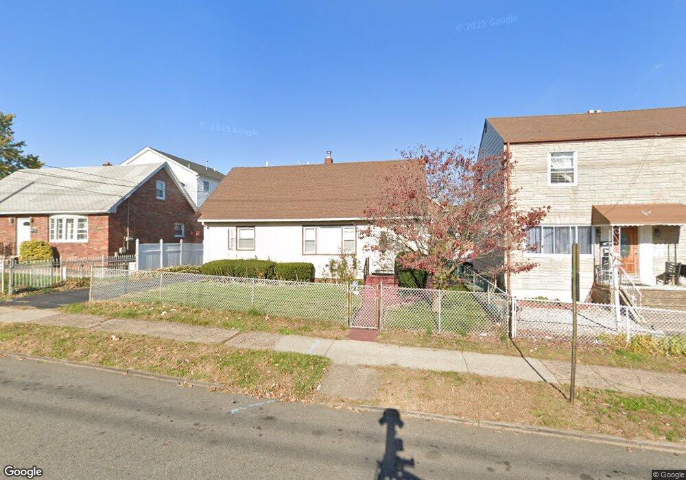
552 Paulison Ave Unit 554 Passaic, NJ 07055
Estimated Value: $382,000 - $524,000
3
Beds
2
Baths
1,382
Sq Ft
$329/Sq Ft
Est. Value
About This Home
This home is located at 552 Paulison Ave Unit 554, Passaic, NJ 07055 and is currently estimated at $455,247, approximately $329 per square foot. 552 Paulison Ave Unit 554 is a home located in Passaic County with nearby schools including Passaic High School # 12 and Passaic Arts and Science Charter School.
Ownership History
Date
Name
Owned For
Owner Type
Purchase Details
Closed on
Dec 21, 2015
Sold by
Carbajal Carlos and Carbajal Nelly
Bought by
Jones Nicola
Current Estimated Value
Home Financials for this Owner
Home Financials are based on the most recent Mortgage that was taken out on this home.
Original Mortgage
$212,087
Outstanding Balance
$167,724
Interest Rate
3.87%
Mortgage Type
FHA
Estimated Equity
$287,523
Create a Home Valuation Report for This Property
The Home Valuation Report is an in-depth analysis detailing your home's value as well as a comparison with similar homes in the area
Home Values in the Area
Average Home Value in this Area
Purchase History
| Date | Buyer | Sale Price | Title Company |
|---|---|---|---|
| Jones Nicola | $216,000 | Attorney |
Source: Public Records
Mortgage History
| Date | Status | Borrower | Loan Amount |
|---|---|---|---|
| Open | Jones Nicola | $212,087 |
Source: Public Records
Tax History Compared to Growth
Tax History
| Year | Tax Paid | Tax Assessment Tax Assessment Total Assessment is a certain percentage of the fair market value that is determined by local assessors to be the total taxable value of land and additions on the property. | Land | Improvement |
|---|---|---|---|---|
| 2025 | $8,460 | $205,200 | $74,500 | $130,700 |
| 2024 | $8,216 | $205,200 | $74,500 | $130,700 |
| 2022 | $7,970 | $205,200 | $74,500 | $130,700 |
| 2021 | $7,716 | $205,200 | $74,500 | $130,700 |
| 2020 | $7,656 | $205,200 | $74,500 | $130,700 |
| 2019 | $7,545 | $205,200 | $74,500 | $130,700 |
| 2018 | $7,383 | $205,200 | $74,500 | $130,700 |
| 2017 | $7,155 | $205,200 | $74,500 | $130,700 |
| 2016 | $6,911 | $205,200 | $74,500 | $130,700 |
| 2015 | $7,853 | $103,700 | $52,700 | $51,000 |
| 2014 | $7,709 | $103,700 | $52,700 | $51,000 |
Source: Public Records
Map
Nearby Homes
- 29 Poplar St
- 74-78 Hammond Ave
- 332 Summer St
- 48 8th Ave
- 35 7th Ave
- 239 Summer St
- 18 Strangeway Terrace
- 2 Ann St Unit 202
- 3 Spruce St
- 1 Spruce St
- 388 Highland Ave
- 341 Highland Ave
- 204 Burgess Place
- 433 Highland Ave
- 288 Sherman St
- 456 Harrison St
- 424 Highland Ave
- 262 Sherman St
- 351 Madison St
- 47 Sade St
- 548 Paulison Ave
- 556 Paulison Ave
- 77 Cedar St Unit 3
- 77 Cedar St
- 544 Paulison Ave
- 131 Hammond Ave
- 125 Hammond Ave
- 127 Hammond Ave
- 137 Hammond Ave
- 123 Hammond Ave
- 12 Peach St
- 4 Sanford St
- 121 Hammond Ave
- 540 Paulison Ave
- 560 Paulison Ave
- 560 Paulison Ave Unit 2
- 560 Paulison Ave Unit 3
- 560 Paulison Ave Unit 1F
- 117 Hammond Ave
- 559 Paulison Ave