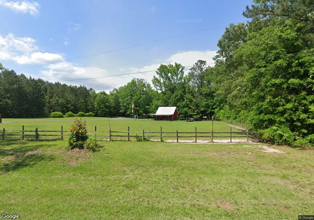
552 Poplar Dr Brooks, GA 30205
Spalding County NeighborhoodEstimated Value: $572,000 - $602,000
3
Beds
3
Baths
3,462
Sq Ft
$170/Sq Ft
Est. Value
About This Home
This home is located at 552 Poplar Dr, Brooks, GA 30205 and is currently estimated at $588,280, approximately $169 per square foot. 552 Poplar Dr is a home located in Spalding County with nearby schools including Moreland Road Elementary School, Carver Road Middle School, and Griffin High School.
Ownership History
Date
Name
Owned For
Owner Type
Purchase Details
Closed on
Sep 27, 2019
Sold by
Gaskins Swinson A
Bought by
Compton Christopher and Compton Keli
Current Estimated Value
Home Financials for this Owner
Home Financials are based on the most recent Mortgage that was taken out on this home.
Original Mortgage
$342,000
Outstanding Balance
$296,950
Interest Rate
3.5%
Mortgage Type
New Conventional
Estimated Equity
$291,330
Create a Home Valuation Report for This Property
The Home Valuation Report is an in-depth analysis detailing your home's value as well as a comparison with similar homes in the area
Home Values in the Area
Average Home Value in this Area
Purchase History
| Date | Buyer | Sale Price | Title Company |
|---|---|---|---|
| Compton Christopher | $360,000 | -- |
Source: Public Records
Mortgage History
| Date | Status | Borrower | Loan Amount |
|---|---|---|---|
| Open | Compton Christopher | $342,000 |
Source: Public Records
Tax History
| Year | Tax Paid | Tax Assessment Tax Assessment Total Assessment is a certain percentage of the fair market value that is determined by local assessors to be the total taxable value of land and additions on the property. | Land | Improvement |
|---|---|---|---|---|
| 2025 | $7,815 | $220,251 | $33,540 | $186,711 |
| 2024 | $7,729 | $201,580 | $33,540 | $168,040 |
| 2023 | $7,147 | $201,580 | $33,540 | $168,040 |
| 2022 | $6,529 | $181,366 | $19,006 | $162,360 |
| 2021 | $5,525 | $153,741 | $19,006 | $134,735 |
| 2020 | $4,889 | $133,969 | $19,006 | $114,963 |
| 2019 | $3,745 | $100,608 | $18,056 | $82,552 |
| 2018 | $3,607 | $94,409 | $18,056 | $76,353 |
| 2017 | $3,510 | $94,409 | $18,056 | $76,353 |
| 2016 | $3,572 | $94,408 | $18,056 | $76,353 |
| 2015 | $3,679 | $94,408 | $18,056 | $76,353 |
| 2014 | $718 | $18,056 | $18,056 | $0 |
Source: Public Records
Map
Nearby Homes
- 100 Fairview Rd
- 161 Mockingbird Ln
- 6475 Newnan Rd
- 210 Mockingbird Ln
- 240 Avalee Rd
- 460 Mask Rd
- LOT 7 Mask Road - Hanner's Farm S
- LOT 8 Mask Road - Hanner's Farm S
- LOT 5 Mask Road - Hanner's Farm N
- LOT 6 Mask Road - Hanner's Farm N
- LOT 4 Mask Road - Hanner's Farm N
- LOT 3 Mask Road - Hanner's Farm N
- 0 Mask Rd Unit 10671477
- 152 Carson Rd
- 160 Carrington Ln
- 130 Brooklet Way
- 9902 Highway 16
- 2337 Hollonville Rd
- 30 Ashwood Ct
- 4101 W Ellis Rd
- 612 Poplar Dr
- 25 Courtland Rd
- 553 Poplar Dr Unit A
- 553 Poplar Dr
- 513 Poplar Dr
- 550 Poplar Dr
- 81 Courtland Rd
- 488 Poplar Dr
- 75 Courtland Rd
- 482 Poplar Dr
- 660 Poplar Dr
- 70 Courtland Rd
- 90 Courtland Rd
- 706 Poplar Dr
- 400 Poplar Dr
- 400 Poplar Dr Unit 7+/-
- 95 Courtland Rd
- 110 Robin Rd Unit 7
- 108 Robin Rd
- 108 Robin Rd Unit 6
Your Personal Tour Guide
Ask me questions while you tour the home.