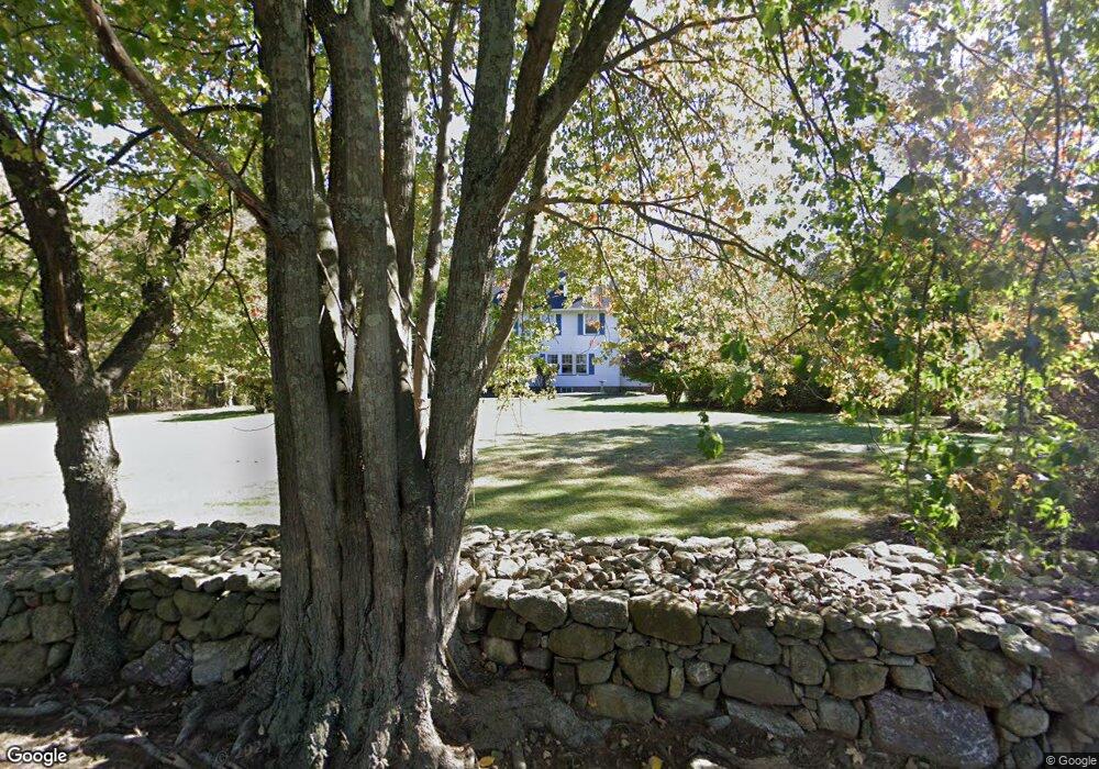
552 Powerville Rd Boonton, NJ 07005
Estimated Value: $677,286 - $834,000
--
Bed
--
Bath
2,526
Sq Ft
$298/Sq Ft
Est. Value
About This Home
This home is located at 552 Powerville Rd, Boonton, NJ 07005 and is currently estimated at $753,072, approximately $298 per square foot. 552 Powerville Rd is a home located in Morris County with nearby schools including Rockaway Valley Elementary School, Our Lady of Mount Carmel School, and Our Lady of the Magnificat School.
Ownership History
Date
Name
Owned For
Owner Type
Purchase Details
Closed on
Jun 18, 1999
Sold by
Allieri Carl M and Allieri Onnolee A
Bought by
Allieri Onnolee A
Current Estimated Value
Purchase Details
Closed on
Mar 31, 1999
Sold by
Endlein William and Poquette Jacqueline Jassner
Bought by
Allieri Onnolee
Create a Home Valuation Report for This Property
The Home Valuation Report is an in-depth analysis detailing your home's value as well as a comparison with similar homes in the area
Home Values in the Area
Average Home Value in this Area
Purchase History
| Date | Buyer | Sale Price | Title Company |
|---|---|---|---|
| Allieri Onnolee A | -- | -- | |
| Allieri Onnolee | $145,000 | -- |
Source: Public Records
Tax History Compared to Growth
Tax History
| Year | Tax Paid | Tax Assessment Tax Assessment Total Assessment is a certain percentage of the fair market value that is determined by local assessors to be the total taxable value of land and additions on the property. | Land | Improvement |
|---|---|---|---|---|
| 2025 | $10,375 | $414,000 | $225,900 | $188,100 |
| 2024 | $10,255 | $414,000 | $225,900 | $188,100 |
| 2023 | $10,255 | $414,000 | $225,900 | $188,100 |
| 2022 | $9,833 | $414,000 | $225,900 | $188,100 |
| 2021 | $9,833 | $414,000 | $225,900 | $188,100 |
| 2020 | $9,717 | $414,000 | $225,900 | $188,100 |
| 2019 | $9,584 | $414,000 | $225,900 | $188,100 |
| 2018 | $9,332 | $414,000 | $225,900 | $188,100 |
| 2017 | $9,195 | $414,000 | $225,900 | $188,100 |
| 2016 | $9,075 | $414,000 | $225,900 | $188,100 |
| 2015 | $9,075 | $414,000 | $225,900 | $188,100 |
| 2014 | $9,033 | $414,000 | $225,900 | $188,100 |
Source: Public Records
Map
Nearby Homes
- 15 Luff Rd
- 8 Patrick Ct
- 6 Patrick Ct
- 140 Koehler Rd
- 379 Rockaway Valley Rd
- 119 Kingsland Rd
- 15 Deer Trail
- 877 Boonton Ave
- 315 Kinnelon Rd
- 4 Kent Ave
- 290 Powerville Rd
- 2 Quarry Mountain Ln
- 23 Charlottesburg Rd
- 31 Cheyenne Dr
- 36 Rockledge Rd
- 11 Charlottesburg Rd
- 10 Birchwood Ln
- 66 Taylortown Rd
- 21-21A Rockledge Rd
- 11 Glenbourne Dr
- 556 Powerville Rd
- 551 Powerville Rd
- 549 Powerville Rd
- 553 Powerville Rd
- 548 Powerville Rd
- 3 Devon Rd
- 547 Powerville Rd
- 4 Devon Rd
- 544 Powerville Rd
- 11 Devon Rd
- 555 Powerville Rd
- 545 Powerville Rd
- 561 Powerville Rd
- 562 Powerville Rd
- 17 Devon Rd
- 538 Powerville Rd
- 541 Powerville Rd
- 8 Brookview Rd
- 14 Devon Rd
- 10 Brookview Rd