552 Prospector Trail Dahlonega, GA 30533
Estimated Value: $876,000 - $1,032,000
Studio
1
Bath
4,562
Sq Ft
$213/Sq Ft
Est. Value
About This Home
This home is located at 552 Prospector Trail, Dahlonega, GA 30533 and is currently estimated at $972,733, approximately $213 per square foot. 552 Prospector Trail is a home with nearby schools including Lumpkin County High School.
Ownership History
Date
Name
Owned For
Owner Type
Purchase Details
Closed on
Mar 10, 2022
Sold by
The Timberstone Company
Bought by
Beruty Kiriakos A and Miller Beruty Candice
Current Estimated Value
Purchase Details
Closed on
May 22, 2013
Sold by
Humphrys Steven D
Bought by
Timberstone Co
Purchase Details
Closed on
Dec 31, 2012
Sold by
Humphrys Construction Co I
Bought by
Humphrys Steven D
Purchase Details
Closed on
Jun 29, 2007
Sold by
Not Provided
Bought by
Humphrys Construction Co Inc
Purchase Details
Closed on
Jan 26, 2007
Sold by
Not Provided
Bought by
Humphrys Construction Co Inc
Purchase Details
Closed on
Apr 17, 1998
Bought by
Owens Valley Farm Lp
Create a Home Valuation Report for This Property
The Home Valuation Report is an in-depth analysis detailing your home's value as well as a comparison with similar homes in the area
Home Values in the Area
Average Home Value in this Area
Purchase History
| Date | Buyer | Sale Price | Title Company |
|---|---|---|---|
| Beruty Kiriakos A | $65,000 | -- | |
| Timberstone Co | -- | -- | |
| Humphrys Steven D | -- | -- | |
| Humphrys Construction Co Inc | $95,000 | -- | |
| Humphrys Construction Co Inc | $6,858,000 | -- | |
| Humphrys Construction Co Inc | -- | -- | |
| Owens Valley Farm Lp | $1,173,200 | -- |
Source: Public Records
Tax History
| Year | Tax Paid | Tax Assessment Tax Assessment Total Assessment is a certain percentage of the fair market value that is determined by local assessors to be the total taxable value of land and additions on the property. | Land | Improvement |
|---|---|---|---|---|
| 2025 | $8,694 | $337,720 | $20,000 | $317,720 |
| 2024 | $8,694 | $311,320 | $12,000 | $299,320 |
| 2023 | $7,923 | $294,590 | $12,000 | $282,590 |
| 2022 | $367 | $12,000 | $12,000 | $0 |
| 2021 | $391 | $12,000 | $12,000 | $0 |
| 2020 | $407 | $12,000 | $12,000 | $0 |
| 2019 | $545 | $16,000 | $16,000 | $0 |
| 2018 | $997 | $27,396 | $27,396 | $0 |
| 2017 | $1,014 | $27,396 | $27,396 | $0 |
| 2016 | $1,036 | $27,396 | $27,396 | $0 |
| 2015 | $699 | $27,396 | $27,396 | $0 |
| 2014 | $699 | $27,396 | $27,396 | $0 |
| 2013 | -- | $24,480 | $24,480 | $0 |
Source: Public Records
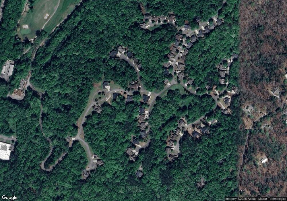
Map
Nearby Homes
- 656 Prospector Trail
- 103 Rockhound Dr
- 134 Rockhound Dr
- 71 Quartz Way
- 1050 Robinson Rd
- 533 Birch River Dr Unit GV17
- 134 Prospector Ridge
- 145 Hawks View
- 397 Early Dr
- 121 Gold Rush Run
- 1113 Kiliahote Pass
- 1259 Birch River Dr
- 1045 Bear Paw Ridge
- 1040 Bear Paw Ridge
- 1034 Bear Paw Ridge
- 1038 Bear Paw Ridge
- 1036 Bear Paw Ridge
- 1048 Bear Paw Ridge
- 2041 Long Branch Rd
- 2041 Long Branch Rd Unit TRACT 2A
- 580 Prospector Trail
- 590 Prospector Trail
- 594 Prospector Trail
- 820 Rockhound Dr
- 851 Rockhound Dr
- 850 Rockhound Dr
- 821 Rockhound Dr
- 847 Rockhound Dr
- 848 Rockhound Dr
- 857 Rockhound Dr
- 822 Rockhound Dr
- 849 Rockhound Dr
- 855 Rockhound Dr
- 802 Rockhound Dr
- 801 Rockhound Dr
- 811 Rockhound Unit 811
- 811 Rockhound
- 856 Rockhound Dr Unit 852
- 856 Rockhound Dr
- 17 Mineral Ln
Your Personal Tour Guide
Ask me questions while you tour the home.