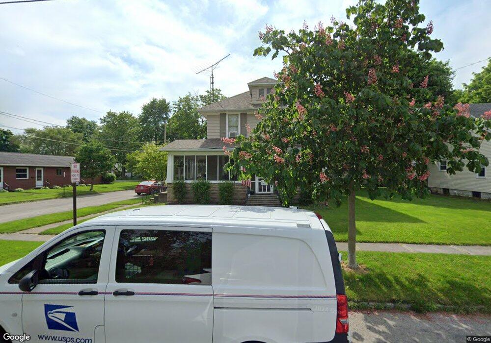
552 S Summit St Bowling Green, OH 43402
Estimated Value: $191,000 - $203,000
3
Beds
1
Bath
1,587
Sq Ft
$124/Sq Ft
Est. Value
About This Home
This home is located at 552 S Summit St, Bowling Green, OH 43402 and is currently estimated at $197,213, approximately $124 per square foot. 552 S Summit St is a home located in Wood County with nearby schools including Bowling Green High School, Montessori School Of Bowling Green, and Bowling Green Christian Academy.
Ownership History
Date
Name
Owned For
Owner Type
Purchase Details
Closed on
Nov 8, 2001
Sold by
Studrawa Nancy J and Estate Of Mildred A Koppenhafe
Bought by
Hunt Eric P and Hunt Terrie L
Current Estimated Value
Home Financials for this Owner
Home Financials are based on the most recent Mortgage that was taken out on this home.
Original Mortgage
$94,500
Outstanding Balance
$36,854
Interest Rate
6.69%
Estimated Equity
$160,359
Purchase Details
Closed on
Aug 26, 1987
Bought by
Koppenhafer Mildred A
Create a Home Valuation Report for This Property
The Home Valuation Report is an in-depth analysis detailing your home's value as well as a comparison with similar homes in the area
Home Values in the Area
Average Home Value in this Area
Purchase History
| Date | Buyer | Sale Price | Title Company |
|---|---|---|---|
| Hunt Eric P | $105,000 | -- | |
| Koppenhafer Mildred A | -- | -- |
Source: Public Records
Mortgage History
| Date | Status | Borrower | Loan Amount |
|---|---|---|---|
| Open | Hunt Eric P | $94,500 |
Source: Public Records
Tax History Compared to Growth
Tax History
| Year | Tax Paid | Tax Assessment Tax Assessment Total Assessment is a certain percentage of the fair market value that is determined by local assessors to be the total taxable value of land and additions on the property. | Land | Improvement |
|---|---|---|---|---|
| 2024 | $2,144 | $49,735 | $12,355 | $37,380 |
| 2023 | $2,144 | $49,740 | $12,360 | $37,380 |
| 2021 | $1,722 | $39,760 | $10,290 | $29,470 |
| 2020 | $1,715 | $39,760 | $10,290 | $29,470 |
| 2019 | $1,689 | $37,070 | $10,290 | $26,780 |
| 2018 | $1,679 | $37,070 | $10,290 | $26,780 |
| 2017 | $1,567 | $37,070 | $10,290 | $26,780 |
| 2016 | $1,440 | $32,030 | $10,820 | $21,210 |
| 2015 | $1,440 | $32,030 | $10,820 | $21,210 |
| 2014 | $1,495 | $32,030 | $10,820 | $21,210 |
| 2013 | $1,532 | $30,490 | $10,290 | $20,200 |
Source: Public Records
Map
Nearby Homes
- 608 S Summit St
- 629 S Summit St
- Lot 36 S Prospect St
- Lot 41 S Prospect St
- Lot 40 S Prospect St
- 448 S Church St
- 518 S Grove St
- 519 Knollwood Dr
- 210 W Wooster St
- 4 Mackenzie Ct
- 7 Augusta Dr Unit 7
- 545 Wallace Ave
- 0 Haskins Rd Unit 6132516
- 14732 Sand Ridge Rd
- 14580 Sand Ridge Rd
- 893 W Wooster St
- 1024 Clark St
- 733 Conneaut Ave
- 8 Arlington Ct
- 1025 Indian Ridge Dr
- 544 S Summit St
- 224 Georgia Ave
- 211 Georgia Ave
- 536 S Summit St
- 205 Georgia Ave
- 216 Georgia Ave
- 302 Sunrise Dr
- 532 S Summit St
- 216 Byall Ave
- 543 S Summit St
- 212 Georgia Ave
- 203 Georgia Ave
- 603 S Summit St
- 212 Byall Ave
- 208 Georgia Ave
- 609 S Summit St
- 201 Georgia Ave
- 304 Sunrise Dr
- 208 Byall Ave
- 0 Summit St S