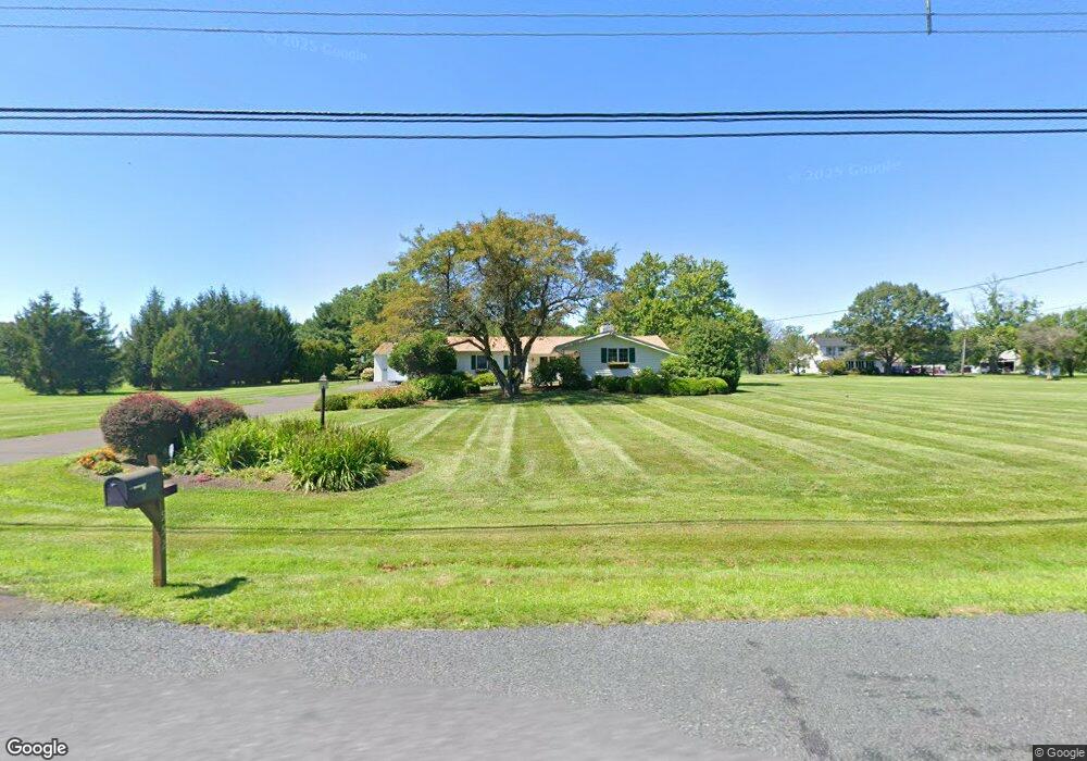
552 Scott Rd Perkasie, PA 18944
Estimated Value: $605,000 - $646,000
3
Beds
2
Baths
2,232
Sq Ft
$282/Sq Ft
Est. Value
About This Home
This home is located at 552 Scott Rd, Perkasie, PA 18944 and is currently estimated at $629,741, approximately $282 per square foot. 552 Scott Rd is a home located in Bucks County with nearby schools including Pennridge High School and Plumstead Christian School.
Ownership History
Date
Name
Owned For
Owner Type
Purchase Details
Closed on
Jun 24, 1994
Sold by
Shermer Jeanne A and Koetting Jeanne A
Bought by
Northrop David D and Northrop Tracy A
Current Estimated Value
Home Financials for this Owner
Home Financials are based on the most recent Mortgage that was taken out on this home.
Original Mortgage
$137,500
Interest Rate
8.74%
Purchase Details
Closed on
Nov 5, 1993
Bought by
Koetting Jeanne A
Create a Home Valuation Report for This Property
The Home Valuation Report is an in-depth analysis detailing your home's value as well as a comparison with similar homes in the area
Home Values in the Area
Average Home Value in this Area
Purchase History
| Date | Buyer | Sale Price | Title Company |
|---|---|---|---|
| Northrop David D | $145,000 | -- | |
| Koetting Jeanne A | -- | -- |
Source: Public Records
Mortgage History
| Date | Status | Borrower | Loan Amount |
|---|---|---|---|
| Closed | Northrop David D | $137,500 |
Source: Public Records
Tax History
| Year | Tax Paid | Tax Assessment Tax Assessment Total Assessment is a certain percentage of the fair market value that is determined by local assessors to be the total taxable value of land and additions on the property. | Land | Improvement |
|---|---|---|---|---|
| 2025 | $6,679 | $39,240 | $6,000 | $33,240 |
| 2024 | $6,679 | $39,240 | $6,000 | $33,240 |
| 2023 | $6,600 | $39,240 | $6,000 | $33,240 |
| 2022 | $6,600 | $39,240 | $6,000 | $33,240 |
| 2021 | $6,600 | $39,240 | $6,000 | $33,240 |
| 2020 | $6,600 | $39,240 | $6,000 | $33,240 |
| 2019 | $6,561 | $39,240 | $6,000 | $33,240 |
| 2018 | $6,561 | $39,240 | $6,000 | $33,240 |
| 2017 | $6,512 | $39,240 | $6,000 | $33,240 |
| 2016 | $6,512 | $39,240 | $6,000 | $33,240 |
| 2015 | -- | $39,240 | $6,000 | $33,240 |
| 2014 | -- | $39,240 | $6,000 | $33,240 |
Source: Public Records
Map
Nearby Homes
- 448 Kellers Church Rd
- 9 Log Cabin Rd
- 563 Deep Run Rd
- 4774 Franklin Cir
- 5403 Stump Rd
- 0 Old Easton Rd Unit PABU2095398
- 6398 Durham Rd
- 1222 Hockley Dr
- 4002 Miriam Dr
- Lot 6 Schadle Rd
- 1214 Hockley Dr
- 7078 Easton Rd
- Lot 10 Schadle Rd
- lot 11 Schadle Rd
- Lot 14 Schadle Rd
- Lot 9 Schadle Rd
- 4936 Curly Hill Rd
- 316 Schadle Rd
- 17 Ruhl Dr
- 0 Old Durham Rd
Your Personal Tour Guide
Ask me questions while you tour the home.