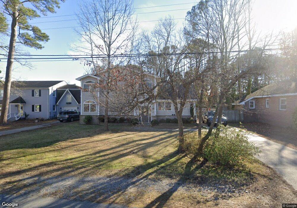
552 Southside Rd Virginia Beach, VA 23451
Estimated Value: $778,687 - $900,000
3
Beds
3
Baths
2,025
Sq Ft
$415/Sq Ft
Est. Value
About This Home
This home is located at 552 Southside Rd, Virginia Beach, VA 23451 and is currently estimated at $840,172, approximately $414 per square foot. 552 Southside Rd is a home located in Virginia Beach City with nearby schools including W.T. Cooke Elementary School, Virginia Beach Middle School, and First Colonial High School.
Ownership History
Date
Name
Owned For
Owner Type
Purchase Details
Closed on
Jun 17, 2015
Sold by
Peter Lawrence T
Bought by
Wareing Tony
Current Estimated Value
Purchase Details
Closed on
Apr 7, 2003
Sold by
Wallace S Harwood I I I T
Bought by
Peter Lawrence
Home Financials for this Owner
Home Financials are based on the most recent Mortgage that was taken out on this home.
Original Mortgage
$153,500
Interest Rate
5.88%
Mortgage Type
Construction
Create a Home Valuation Report for This Property
The Home Valuation Report is an in-depth analysis detailing your home's value as well as a comparison with similar homes in the area
Home Values in the Area
Average Home Value in this Area
Purchase History
| Date | Buyer | Sale Price | Title Company |
|---|---|---|---|
| Wareing Tony | $455,000 | -- | |
| Peter Lawrence | $154,500 | -- |
Source: Public Records
Mortgage History
| Date | Status | Borrower | Loan Amount |
|---|---|---|---|
| Previous Owner | Peter Lawrence | $153,500 |
Source: Public Records
Tax History Compared to Growth
Tax History
| Year | Tax Paid | Tax Assessment Tax Assessment Total Assessment is a certain percentage of the fair market value that is determined by local assessors to be the total taxable value of land and additions on the property. | Land | Improvement |
|---|---|---|---|---|
| 2025 | $6,165 | $690,700 | $442,900 | $247,800 |
| 2024 | $6,165 | $635,600 | $412,000 | $223,600 |
| 2023 | $5,218 | $527,100 | $324,500 | $202,600 |
| 2022 | $5,097 | $514,800 | $309,000 | $205,800 |
| 2021 | $5,058 | $510,900 | $306,900 | $204,000 |
| 2020 | $5,268 | $517,700 | $306,900 | $210,800 |
| 2019 | $4,716 | $436,900 | $260,700 | $176,200 |
| 2018 | $4,380 | $436,900 | $260,700 | $176,200 |
| 2017 | $3,965 | $395,500 | $244,200 | $151,300 |
| 2016 | $3,935 | $397,500 | $240,900 | $156,600 |
| 2015 | $3,349 | $338,300 | $217,800 | $120,500 |
| 2014 | $3,822 | $397,900 | $254,100 | $143,800 |
Source: Public Records
Map
Nearby Homes
- 408 Grace Ave
- 401 Grace Ave
- 433 Croatan Rd
- 508 General Booth Blvd
- 612 Surfside Ave Unit X6619
- 748 Virginia Dare Dr
- 400 Rudee Point Rd Unit 205
- 508 Virginia Dare Dr
- 419 Harbour Point Unit 302
- 411 Harbour Point Unit 102
- 647 S Atlantic Ave
- 405 Harbour Point Unit 305
- 668 S Atlantic Ave
- 845 Kennedy Ave
- 708 S Atlantic Ave
- 812 Vanderbilt Ave
- 500 Winston Salem Ave Unit 101
- 500 Winston Salem Ave Unit 202
- 500 Winston Salem Ave Unit 207
- 500 Winston Salem Ave Unit 110
- 556 Southside Rd
- 544 Southside Rd
- 558 Southside Rd
- 542 Southside Rd
- 549 Southside Rd
- 541 Southside Rd
- 564 Southside Rd
- 553 Southside Rd
- 540 Southside Rd
- 570 Croatan Rd
- 601 Croatan Ct
- 592 General Booth Blvd
- 537 Southside Rd
- 588 General Booth Blvd
- 536 Southside Rd
- 517 Croatan Rd
- 512 Croatan Rd
- 600 Bushnell Ct
- 533 Croatan Rd
- 533 Southside Rd