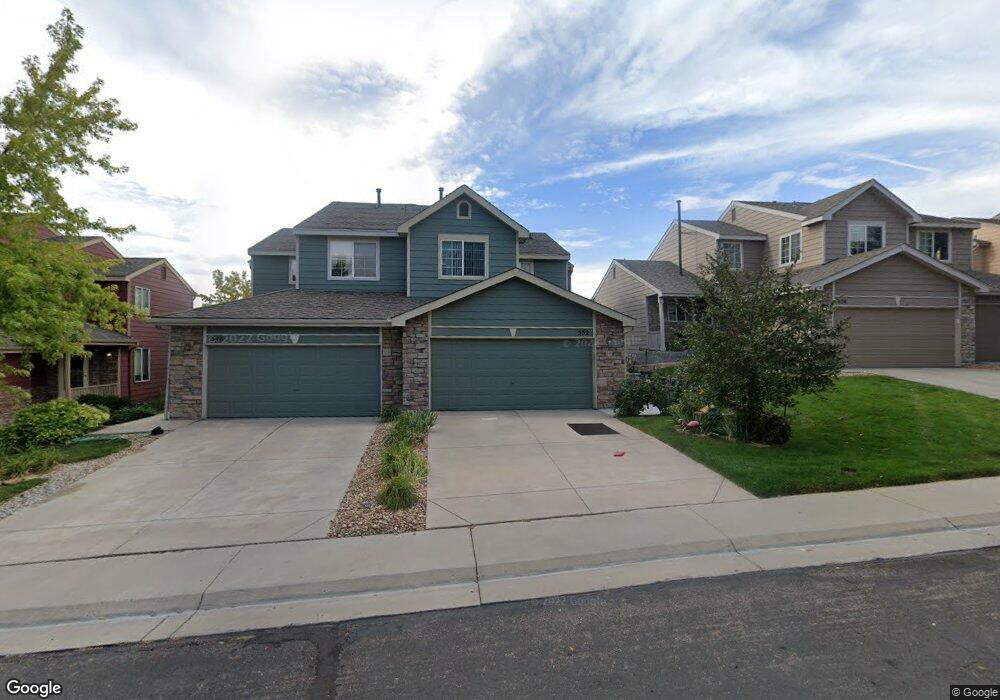
552 W 91st Cir Thornton, CO 80260
South Thornton NeighborhoodEstimated Value: $388,000 - $473,000
3
Beds
2
Baths
1,443
Sq Ft
$293/Sq Ft
Est. Value
About This Home
This home is located at 552 W 91st Cir, Thornton, CO 80260 and is currently estimated at $422,963, approximately $293 per square foot. 552 W 91st Cir is a home located in Adams County with nearby schools including North Mor Elementary School, Northglenn Middle School, and Northglenn High School.
Ownership History
Date
Name
Owned For
Owner Type
Purchase Details
Closed on
Jun 8, 1999
Sold by
Kaufman & Broad Of Colorado Inc
Bought by
Christensen Lanore I
Current Estimated Value
Home Financials for this Owner
Home Financials are based on the most recent Mortgage that was taken out on this home.
Original Mortgage
$105,550
Outstanding Balance
$27,768
Interest Rate
7.02%
Estimated Equity
$395,195
Create a Home Valuation Report for This Property
The Home Valuation Report is an in-depth analysis detailing your home's value as well as a comparison with similar homes in the area
Home Values in the Area
Average Home Value in this Area
Purchase History
| Date | Buyer | Sale Price | Title Company |
|---|---|---|---|
| Christensen Lanore I | $136,085 | -- |
Source: Public Records
Mortgage History
| Date | Status | Borrower | Loan Amount |
|---|---|---|---|
| Open | Christensen Lanore I | $105,550 |
Source: Public Records
Tax History Compared to Growth
Tax History
| Year | Tax Paid | Tax Assessment Tax Assessment Total Assessment is a certain percentage of the fair market value that is determined by local assessors to be the total taxable value of land and additions on the property. | Land | Improvement |
|---|---|---|---|---|
| 2024 | $2,144 | $27,000 | $5,440 | $21,560 |
| 2023 | $2,123 | $30,240 | $5,410 | $24,830 |
| 2022 | $1,826 | $22,790 | $4,380 | $18,410 |
| 2021 | $1,886 | $22,790 | $4,380 | $18,410 |
| 2020 | $1,762 | $22,250 | $4,500 | $17,750 |
| 2019 | $1,765 | $22,250 | $4,500 | $17,750 |
| 2018 | $1,300 | $17,990 | $1,580 | $16,410 |
| 2017 | $1,184 | $17,990 | $1,580 | $16,410 |
| 2016 | $1,681 | $14,900 | $1,750 | $13,150 |
| 2015 | $1,679 | $14,900 | $1,750 | $13,150 |
| 2014 | $1,294 | $11,160 | $1,750 | $9,410 |
Source: Public Records
Map
Nearby Homes
- 576 W 91st Cir
- 8944 Fox Dr Unit 103
- 8944 Fox Dr Unit 203
- 8944 Fox Dr Unit 6202
- 8920 Fox Dr Unit 22
- 8910 Fox Dr Unit 7
- 8910 Fox Dr Unit 16
- 8968 Fox Dr Unit 2103
- 9048 Gale Blvd Unit 2
- 8701 Huron St Unit 5-210
- 8701 Huron St Unit 6-106
- 8701 Huron St Unit 211
- 9080 Gale Blvd Unit 3
- 407 Polaris Place
- 1062 W 88th Ave Unit 34
- 1140 W 88th Ave Unit 53
- 1500 W Thornton Pkwy Unit 311
- 1500 W Thornton Pkwy Unit 366
- 1500 W Thornton Pkwy Unit 11
- 1500 W Thornton Pkwy Unit 362