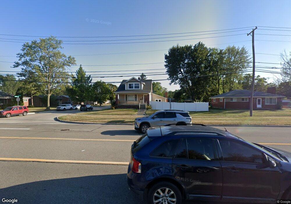
5520 E 14 Mile Rd Unit Bldg-Unit Warren, MI 48092
Northwest Warren NeighborhoodEstimated Value: $279,000 - $296,000
4
Beds
2
Baths
2,070
Sq Ft
$140/Sq Ft
Est. Value
About This Home
This home is located at 5520 E 14 Mile Rd Unit Bldg-Unit, Warren, MI 48092 and is currently estimated at $289,434, approximately $139 per square foot. 5520 E 14 Mile Rd Unit Bldg-Unit is a home located in Macomb County with nearby schools including Green Acres Elementary School, Beer Middle School, and Warren Mott High School.
Ownership History
Date
Name
Owned For
Owner Type
Purchase Details
Closed on
Jun 18, 2020
Sold by
Wittenberg Stephen W and Wittenberg Sandra
Bought by
Kadir Minhaz
Current Estimated Value
Purchase Details
Closed on
Nov 18, 2015
Sold by
Wittenberg Stephen W
Bought by
Wittenberg Stephen W and Wittenberg Sandra
Purchase Details
Closed on
May 11, 2007
Sold by
Schultz Valgerdur and Schultz Dale
Bought by
Household Finance Corp Iii
Create a Home Valuation Report for This Property
The Home Valuation Report is an in-depth analysis detailing your home's value as well as a comparison with similar homes in the area
Home Values in the Area
Average Home Value in this Area
Purchase History
| Date | Buyer | Sale Price | Title Company |
|---|---|---|---|
| Kadir Minhaz | $175,000 | Century Title Agency Svcs | |
| Wittenberg Stephen W | -- | Title One Inc | |
| Household Finance Corp Iii | $111,794 | None Available |
Source: Public Records
Tax History
| Year | Tax Paid | Tax Assessment Tax Assessment Total Assessment is a certain percentage of the fair market value that is determined by local assessors to be the total taxable value of land and additions on the property. | Land | Improvement |
|---|---|---|---|---|
| 2025 | $5,438 | $139,200 | $0 | $0 |
| 2024 | $53 | $121,850 | $0 | $0 |
| 2023 | $5,044 | $109,400 | $0 | $0 |
| 2022 | $4,873 | $94,390 | $0 | $0 |
| 2021 | $4,959 | $89,560 | $0 | $0 |
| 2020 | $2,569 | $87,710 | $0 | $0 |
| 2019 | $3,048 | $79,120 | $0 | $0 |
| 2018 | $71 | $56,570 | $0 | $0 |
| 2017 | $2,989 | $55,530 | $15,320 | $40,210 |
| 2016 | $2,973 | $55,530 | $0 | $0 |
| 2015 | -- | $47,910 | $0 | $0 |
| 2012 | -- | $43,750 | $0 | $0 |
Source: Public Records
Map
Nearby Homes
- 33121 Defour Dr
- 5273 Marie Ln
- 5211 Streefkerk Dr
- 5612 Streefkerk Dr
- 5441 Arden Ave
- 6027 Peck Ave
- 4780 S Tuxedo Dr
- 32416 Exeter Dr
- 6222 Peck Ave
- 32930 Chalfonte Dr
- 32436 Saint Annes Dr
- 5575 E 14 Mile Rd
- 5093 Northlawn Dr
- 4580 Hampton Ct N
- 4812 Berwyn Dr
- 31778 Cloverly Ct
- 32076 Saint Annes Dr
- 32075 Saint Annes Dr
- 4896 Chicago Rd
- 4946 Vista Ct
- 5520 E 14 Mile Rd
- 5520 E Fourteen Mile
- 5500 E 14 Mile Rd
- 32739 Greenbriar Ave
- 32768 Greenbriar Ave
- 32780 Greenbriar Ave
- 32756 Greenbriar Ave
- 32729 Greenbriar Ave
- 32744 Greenbriar Ave
- 5339 Earl Dr
- 32732 Greenbriar Ave
- 32715 Greenbriar Ave
- 5349 Earl Dr
- 32769 Robinette Ave
- 5329 Earl Dr
- 32781 Robinette Ave
- 32757 Robinette Ave
- 5521 Casmere Ave
- 5359 Earl Dr
- 32745 Robinette Ave
Your Personal Tour Guide
Ask me questions while you tour the home.