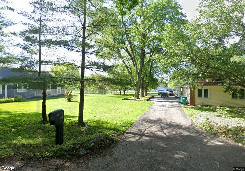
5520 E Twin Bridge Rd Decatur, IL 62521
Estimated Value: $167,000 - $221,000
4
Beds
3
Baths
2,402
Sq Ft
$81/Sq Ft
Est. Value
About This Home
This home is located at 5520 E Twin Bridge Rd, Decatur, IL 62521 and is currently estimated at $194,764, approximately $81 per square foot. 5520 E Twin Bridge Rd is a home located in Macon County with nearby schools including McGaughey Elementary School, Mt. Zion Intermediate School, and Mt. Zion Elementary School.
Ownership History
Date
Name
Owned For
Owner Type
Purchase Details
Closed on
Sep 9, 2021
Sold by
Ziverts Viginia C
Bought by
Lourash-Mahannah Jennifer
Current Estimated Value
Purchase Details
Closed on
Mar 1, 2002
Create a Home Valuation Report for This Property
The Home Valuation Report is an in-depth analysis detailing your home's value as well as a comparison with similar homes in the area
Home Values in the Area
Average Home Value in this Area
Purchase History
| Date | Buyer | Sale Price | Title Company |
|---|---|---|---|
| Lourash-Mahannah Jennifer | -- | None Listed On Document | |
| -- | $99,000 | -- |
Source: Public Records
Tax History Compared to Growth
Tax History
| Year | Tax Paid | Tax Assessment Tax Assessment Total Assessment is a certain percentage of the fair market value that is determined by local assessors to be the total taxable value of land and additions on the property. | Land | Improvement |
|---|---|---|---|---|
| 2024 | $2,560 | $46,718 | $7,174 | $39,544 |
| 2023 | $2,468 | $43,410 | $6,666 | $36,744 |
| 2022 | $2,703 | $40,817 | $6,268 | $34,549 |
| 2021 | $1,886 | $38,695 | $5,942 | $32,753 |
| 2020 | $1,786 | $36,982 | $5,679 | $31,303 |
| 2019 | $1,786 | $36,982 | $5,679 | $31,303 |
| 2018 | $2,484 | $36,172 | $5,555 | $30,617 |
| 2017 | $2,477 | $35,725 | $5,486 | $30,239 |
| 2016 | $2,060 | $35,704 | $5,483 | $30,221 |
| 2015 | $1,990 | $35,246 | $5,413 | $29,833 |
| 2014 | $1,932 | $35,246 | $5,413 | $29,833 |
| 2013 | $1,967 | $35,246 | $5,413 | $29,833 |
Source: Public Records
Map
Nearby Homes
- 3930 S Mount Zion Rd
- 1625 Ridgewood Ct
- 1700 Brentwood Dr
- 1440 N Alexander Dr
- 5909 Camp Warren Rd
- 570 Fawn Ct
- 860 W Wildwood Dr
- 5460 E Firehouse Rd
- 5620 E Firehouse Rd
- 9 Blakeridge Place
- 2615 French Dr
- 1610 Robin Ct
- 3330 S Baltimore Ave
- 6525 Majors Ln
- 5941 Monarch Rd
- 6455 Birchwood Ln
- 820 Kirk Dr
- 695 Country Ct
- 50 Sundance Dr
- 125 W Walnut St
- 5550 E Twin Bridge Rd
- 5480 E Twin Bridge Rd
- 5480 E Twin Bridge Rd
- 5580 E Twin Bridge Rd
- 5577 Bentonville Rd
- 5440 E Twin Bridge Rd
- 5583 Bentonville Rd
- 5461 Bentonville Rd
- 5471 Bentonville Rd
- 3425 S Twin Bridge Rd
- 5597 Bentonville Rd
- 5597 Bentonville Rd
- 3576 S Mount Zion Rd
- 3580 S Mount Zion Rd
- 5580 Bentonville Rd
- 5431 Bentonville Rd
- 5590 Bentonville Rd
- 5350 E Twin Bridge Rd
- 3344 Roblee Ln
- 3345 Roblee Ln