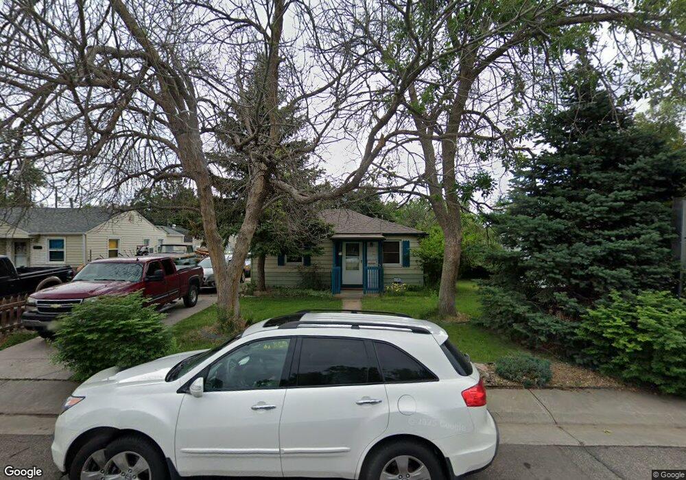
5520 Otis Ct Arvada, CO 80002
Estimated Value: $407,256 - $432,000
2
Beds
1
Bath
732
Sq Ft
$570/Sq Ft
Est. Value
About This Home
This home is located at 5520 Otis Ct, Arvada, CO 80002 and is currently estimated at $417,064, approximately $569 per square foot. 5520 Otis Ct is a home located in Jefferson County with nearby schools including Secrest Elementary School, North Arvada Middle School, and Arvada High School.
Ownership History
Date
Name
Owned For
Owner Type
Purchase Details
Closed on
Aug 30, 2017
Sold by
Toliver Ruth J
Bought by
Carlson Jeffrey W and Attwood Jennah
Current Estimated Value
Home Financials for this Owner
Home Financials are based on the most recent Mortgage that was taken out on this home.
Original Mortgage
$242,250
Outstanding Balance
$202,621
Interest Rate
3.96%
Mortgage Type
New Conventional
Estimated Equity
$214,443
Create a Home Valuation Report for This Property
The Home Valuation Report is an in-depth analysis detailing your home's value as well as a comparison with similar homes in the area
Home Values in the Area
Average Home Value in this Area
Purchase History
| Date | Buyer | Sale Price | Title Company |
|---|---|---|---|
| Carlson Jeffrey W | $255,000 | None Available |
Source: Public Records
Mortgage History
| Date | Status | Borrower | Loan Amount |
|---|---|---|---|
| Open | Carlson Jeffrey W | $242,250 |
Source: Public Records
Tax History Compared to Growth
Tax History
| Year | Tax Paid | Tax Assessment Tax Assessment Total Assessment is a certain percentage of the fair market value that is determined by local assessors to be the total taxable value of land and additions on the property. | Land | Improvement |
|---|---|---|---|---|
| 2024 | $2,283 | $23,534 | $12,257 | $11,277 |
| 2023 | $2,283 | $23,534 | $12,257 | $11,277 |
| 2022 | $2,055 | $20,986 | $9,700 | $11,286 |
| 2021 | $2,089 | $21,590 | $9,979 | $11,611 |
| 2020 | $1,792 | $18,567 | $7,981 | $10,586 |
| 2019 | $1,768 | $18,567 | $7,981 | $10,586 |
| 2018 | $1,422 | $14,525 | $5,524 | $9,001 |
| 2017 | $657 | $14,525 | $5,524 | $9,001 |
| 2016 | $603 | $12,520 | $5,117 | $7,403 |
| 2015 | $492 | $12,520 | $5,117 | $7,403 |
| 2014 | $492 | $9,717 | $4,384 | $5,333 |
Source: Public Records
Map
Nearby Homes
- 6890 W 55th Place
- 6910 Reno Dr
- 5465 Reed Ct
- 7011 Grandview Ave
- 6247 W 53rd Ave
- 6801 W 52nd Ave
- 5815 Pierce St Unit A-H
- 6480 W 60th Ave
- 7303 W 59th Ave
- 7931 W 55th Ave Unit 308
- 5465 Zephyr St Unit 201
- 7707 Ralston Rd
- 5409 Zephyr Ct Unit 5409
- 5320 Allison St Unit 106
- 5419 Allison St Unit G
- 6105 W 49th Place
- 7365 W 61st Ave
- 5250 W 53rd Ave Unit 125
- 5250 W 53rd Ave Unit 116
- 5223 Allison Way Unit D