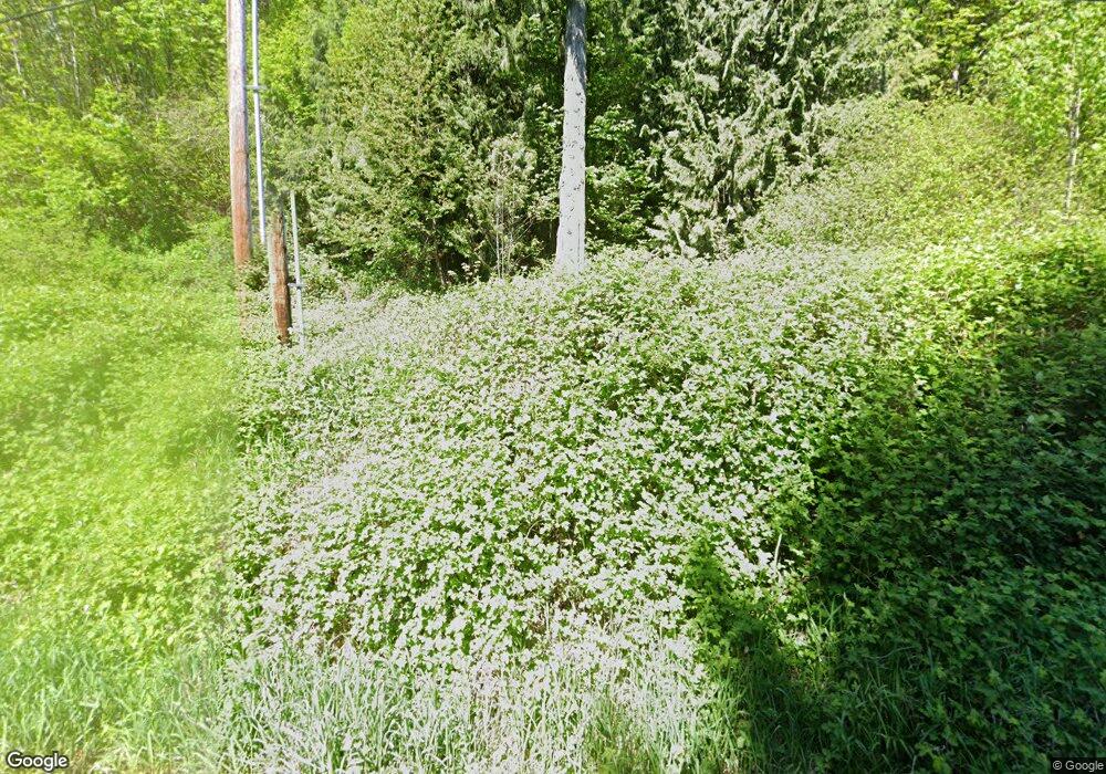
5522 Mt Baker Hwy Deming, WA 98244
Estimated Value: $388,000 - $598,000
2
Beds
1
Bath
1,051
Sq Ft
$475/Sq Ft
Est. Value
About This Home
This home is located at 5522 Mt Baker Hwy, Deming, WA 98244 and is currently estimated at $498,720, approximately $474 per square foot. 5522 Mt Baker Hwy is a home with nearby schools including Mount Baker Senior High School.
Ownership History
Date
Name
Owned For
Owner Type
Purchase Details
Closed on
Apr 1, 2017
Sold by
Krebs Robert S
Bought by
Carlson Nathan E
Current Estimated Value
Home Financials for this Owner
Home Financials are based on the most recent Mortgage that was taken out on this home.
Original Mortgage
$125,000
Outstanding Balance
$103,876
Interest Rate
4.16%
Mortgage Type
Seller Take Back
Estimated Equity
$394,844
Purchase Details
Closed on
May 13, 2004
Sold by
Coleman J C
Bought by
Carlson Nathan E
Create a Home Valuation Report for This Property
The Home Valuation Report is an in-depth analysis detailing your home's value as well as a comparison with similar homes in the area
Home Values in the Area
Average Home Value in this Area
Purchase History
| Date | Buyer | Sale Price | Title Company |
|---|---|---|---|
| Carlson Nathan E | $175,000 | Whatcom Land Title | |
| Carlson Nathan E | $59,000 | Whatcom Land Title |
Source: Public Records
Mortgage History
| Date | Status | Borrower | Loan Amount |
|---|---|---|---|
| Open | Carlson Nathan E | $125,000 |
Source: Public Records
Tax History Compared to Growth
Tax History
| Year | Tax Paid | Tax Assessment Tax Assessment Total Assessment is a certain percentage of the fair market value that is determined by local assessors to be the total taxable value of land and additions on the property. | Land | Improvement |
|---|---|---|---|---|
| 2024 | $2,665 | $380,887 | $228,895 | $151,992 |
| 2023 | $2,665 | $359,481 | $203,846 | $155,635 |
| 2022 | $2,181 | $294,650 | $167,083 | $127,567 |
| 2021 | $2,062 | $237,618 | $134,743 | $102,875 |
| 2020 | $1,899 | $201,370 | $114,188 | $87,182 |
| 2019 | $1,699 | $177,422 | $100,608 | $76,814 |
| 2018 | $1,994 | $171,059 | $97,000 | $74,059 |
| 2017 | $1,802 | $157,849 | $85,018 | $72,831 |
| 2016 | $1,734 | $152,368 | $82,066 | $70,302 |
| 2015 | $1,626 | $145,517 | $78,376 | $67,141 |
| 2014 | -- | $137,021 | $73,800 | $63,221 |
| 2013 | -- | $137,021 | $73,800 | $63,221 |
Source: Public Records
Map
Nearby Homes
- 5510 Mt Baker Hwy
- 0 N Fork Rd
- 5463 Mosquito Lake Rd
- 5860 Bell Creek Logging Rd
- 5070 Deming Rd
- 5888 Mount Baker Hwy
- 0 Mt Baker Hwy Unit NWM2371192
- 8290 Mount Baker Hwy
- 5458 Mount Baker Hwy
- 5718 Schornbush Rd
- 7019 Mount Baker Hwy
- 4120 Valley Hwy
- 4086 Valley Hwy
- 4126 Caron Rd
- 4290 Mt Baker Hwy
- 3999 Deming Rd
- 0 Hoff Cir
- 6373 Eastwood Rd
- 5753 Lawrence Rd
- 5947 Lawrence Rd
- 5495 Mt Baker Hwy
- 5542 Mt Baker Hwy
- 5534 Mt Baker Hwy
- 5528 Mt Baker Hwy
- 5970 Truck Rd
- 5478 Mt Baker Hwy
- 5936 Truck Rd
- 5562 Mt Baker Hwy
- 5904 Truck Rd
- 5962 Truck Rd
- 5473 Mt Baker Hwy
- 5568 Mt Baker Hwy
- 5800 Truck Rd
- 5565 Mt Baker Hwy
- 5468 Mt Baker Hwy
- 5765 Mosquito Lake Rd
- 5726 Mosquito Lake Rd
- 5465 Mt Baker Hwy
- 5979 Truck Rd
- 5569 Mt Baker Hwy
