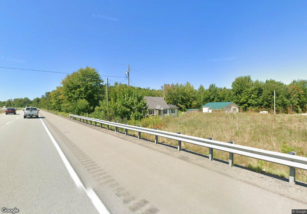
5522 Pond Rd West Springfield, PA 16443
Estimated Value: $108,000 - $208,174
3
Beds
1
Bath
1,408
Sq Ft
$109/Sq Ft
Est. Value
About This Home
This home is located at 5522 Pond Rd, West Springfield, PA 16443 and is currently estimated at $152,794, approximately $108 per square foot. 5522 Pond Rd is a home located in Erie County with nearby schools including Northwestern Senior High School.
Ownership History
Date
Name
Owned For
Owner Type
Purchase Details
Closed on
Nov 30, 2022
Sold by
Fiesler James R
Bought by
Eaton Curtis L and Eaton Betty Jo
Current Estimated Value
Home Financials for this Owner
Home Financials are based on the most recent Mortgage that was taken out on this home.
Original Mortgage
$62,349
Outstanding Balance
$60,478
Interest Rate
6.95%
Mortgage Type
FHA
Estimated Equity
$92,316
Purchase Details
Closed on
Aug 31, 2001
Sold by
Gillespie Frederick S and Gillespie Karen E
Bought by
Slocum Timothy E
Home Financials for this Owner
Home Financials are based on the most recent Mortgage that was taken out on this home.
Original Mortgage
$74,200
Interest Rate
7.05%
Create a Home Valuation Report for This Property
The Home Valuation Report is an in-depth analysis detailing your home's value as well as a comparison with similar homes in the area
Home Values in the Area
Average Home Value in this Area
Purchase History
| Date | Buyer | Sale Price | Title Company |
|---|---|---|---|
| Eaton Curtis L | $63,500 | -- | |
| Slocum Timothy E | $82,500 | -- |
Source: Public Records
Mortgage History
| Date | Status | Borrower | Loan Amount |
|---|---|---|---|
| Open | Eaton Curtis L | $62,349 | |
| Previous Owner | Slocum Timothy E | $74,200 | |
| Closed | Eaton Curtis L | $3,175 |
Source: Public Records
Tax History Compared to Growth
Tax History
| Year | Tax Paid | Tax Assessment Tax Assessment Total Assessment is a certain percentage of the fair market value that is determined by local assessors to be the total taxable value of land and additions on the property. | Land | Improvement |
|---|---|---|---|---|
| 2025 | $2,550 | $125,600 | $33,500 | $92,100 |
| 2024 | $2,493 | $125,600 | $33,500 | $92,100 |
| 2023 | $2,021 | $111,300 | $33,500 | $77,800 |
| 2022 | $1,935 | $111,300 | $33,500 | $77,800 |
| 2021 | $1,909 | $111,300 | $33,500 | $77,800 |
| 2020 | $1,881 | $111,300 | $33,500 | $77,800 |
| 2019 | $1,842 | $111,300 | $33,500 | $77,800 |
| 2018 | $1,753 | $111,300 | $33,500 | $77,800 |
| 2017 | $1,753 | $111,300 | $33,500 | $77,800 |
| 2016 | $2,079 | $111,300 | $33,500 | $77,800 |
| 2015 | $2,051 | $111,300 | $33,500 | $77,800 |
| 2014 | $1,137 | $111,300 | $33,500 | $77,800 |
Source: Public Records
Map
Nearby Homes
- 14603 Ridge Rd
- 14430 Ridge Rd
- 4937 Crayton Rd
- 6946 Huntley Rd
- 13692 Ridge Rd
- 13657 W Lake Rd
- 522 Furnace Rd
- 593 Furnace Rd
- 264 High St
- 262 High St
- 370 E Underridge Rd
- 146 Nickle Plate Ave
- 284 Clay St
- 179 Hayward Ave
- 179 Marshall St
- 289 Harbor St
- 169 River St
- 0 Dorman Rd
- 5264 Middle Rd
- 770 Buffalo St
- 14599 Ridge Rd
- 14529 Ridge Rd
- 14555 Ridge Rd
- 14543 Ridge Rd
- 14507 Ridge Rd
- 14556 Ridge Rd
- 14661 Ridge Rd
- 14568 Ridge Rd
- 14675 Ridge Rd
- 14504 Ridge Rd
- 14544 Ridge Rd
- 14580 Ridge Rd
- 14592 Ridge Rd
- 14608 Ridge Rd
- 14608 Ridge Rd
- 14687 Ridge Rd
- 14544 W Ridge Rd
- 14446 Ridge Rd
- 14701 Ridge Rd
- 14650 Ridge Rd