5523 Adaway Trail Springfield, OH 45502
Estimated Value: $476,000 - $582,000
3
Beds
3
Baths
3,324
Sq Ft
$157/Sq Ft
Est. Value
About This Home
This home is located at 5523 Adaway Trail, Springfield, OH 45502 and is currently estimated at $522,456, approximately $157 per square foot. 5523 Adaway Trail is a home located in Clark County with nearby schools including Rolling Hills Elementary School, Northridge Middle School, and Kenton Ridge Middle & High School.
Ownership History
Date
Name
Owned For
Owner Type
Purchase Details
Closed on
Oct 6, 2009
Sold by
Little Douglas B and Little Diana M
Bought by
Maute David A and Maute Nancy L
Current Estimated Value
Purchase Details
Closed on
Jan 29, 2004
Sold by
Judy John Charles and Judy Lisa G
Bought by
Little Douglas B and Little Diana M
Home Financials for this Owner
Home Financials are based on the most recent Mortgage that was taken out on this home.
Original Mortgage
$46,900
Interest Rate
5.91%
Mortgage Type
Purchase Money Mortgage
Create a Home Valuation Report for This Property
The Home Valuation Report is an in-depth analysis detailing your home's value as well as a comparison with similar homes in the area
Home Values in the Area
Average Home Value in this Area
Purchase History
| Date | Buyer | Sale Price | Title Company |
|---|---|---|---|
| Maute David A | $300,000 | Attorney | |
| Little Douglas B | $48,900 | -- |
Source: Public Records
Mortgage History
| Date | Status | Borrower | Loan Amount |
|---|---|---|---|
| Previous Owner | Little Douglas B | $46,900 |
Source: Public Records
Tax History Compared to Growth
Tax History
| Year | Tax Paid | Tax Assessment Tax Assessment Total Assessment is a certain percentage of the fair market value that is determined by local assessors to be the total taxable value of land and additions on the property. | Land | Improvement |
|---|---|---|---|---|
| 2024 | $5,601 | $129,520 | $23,320 | $106,200 |
| 2023 | $5,601 | $129,520 | $23,320 | $106,200 |
| 2022 | $5,622 | $129,520 | $23,320 | $106,200 |
| 2021 | $5,868 | $114,550 | $19,120 | $95,430 |
| 2020 | $5,873 | $114,550 | $19,120 | $95,430 |
| 2019 | $5,985 | $114,550 | $19,120 | $95,430 |
| 2018 | $5,524 | $101,420 | $15,300 | $86,120 |
| 2017 | $4,754 | $99,131 | $15,295 | $83,836 |
| 2016 | $4,722 | $99,131 | $15,295 | $83,836 |
| 2015 | $4,996 | $107,384 | $15,295 | $92,089 |
| 2014 | $4,996 | $107,384 | $15,295 | $92,089 |
| 2013 | $4,883 | $107,384 | $15,295 | $92,089 |
Source: Public Records
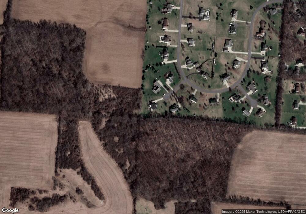
Map
Nearby Homes
- 5763 Twitchell Rd
- 1888 Birchwood Ct
- 1902 Willow Lakes Dr Unit 71
- 4849 Ashley Dr
- 4644 Middle Urbana Rd
- Pendleton Plan at Liberty Place
- Holcombe Plan at Liberty Place
- Newcastle Plan at Liberty Place
- Chatham Plan at Liberty Place
- 1709 Thomas Dr
- 4898 Graham St
- 5220 Ridgewood Rd E
- 4273 Kay Ave
- 1470 Oldham Dr Unit 12
- 5111 Old Mechanicsburg Rd
- 4831 Temple St
- 4740 Merrimont Ave
- 5127 Stoneridge Dr
- 5249 Taywell Dr
- 6360 Renee St
- 5555 Adaway Trail
- 5536 Adaway Trail
- 5583 Adaway Trail
- 3055 Windy Ridge Dr
- 3072 Windy Ridge Dr
- 3115 Windy Ridge Dr
- 3100 Windy Ridge Dr
- 3130 Windy Ridge Dr
- 5575 Anson Place
- 3011 Windy Ridge Dr
- 3012 Windy Ridge Dr
- 5535 Anson Place
- 3161 Windy Ridge Dr
- 2979 Windy Ridge Dr
- 5584 Anson Place
- 5524 Anson Place
- 2980 Windy Ridge Dr
- 3189 Windy Ridge Dr
- 3223 Windy Ridge Dr
- 5556 Anson Place