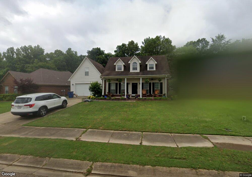
5523 Blocker St Olive Branch, MS 38654
Estimated Value: $268,000 - $293,118
3
Beds
3
Baths
2,000
Sq Ft
$142/Sq Ft
Est. Value
About This Home
This home is located at 5523 Blocker St, Olive Branch, MS 38654 and is currently estimated at $284,280, approximately $142 per square foot. 5523 Blocker St is a home located in DeSoto County with nearby schools including Olive Branch Elementary School, Chickasaw Elementary School, and Olive Branch Middle School.
Ownership History
Date
Name
Owned For
Owner Type
Purchase Details
Closed on
Apr 29, 2009
Sold by
Bank Of America Na
Bought by
Yarbrough Gregory A
Current Estimated Value
Home Financials for this Owner
Home Financials are based on the most recent Mortgage that was taken out on this home.
Original Mortgage
$139,945
Outstanding Balance
$88,035
Interest Rate
5.01%
Mortgage Type
VA
Estimated Equity
$196,245
Purchase Details
Closed on
Dec 9, 2005
Sold by
Kohlhase Karl R and Kohlhase Brenna R
Bought by
Anderson Jeff and Anderson Sperkle
Create a Home Valuation Report for This Property
The Home Valuation Report is an in-depth analysis detailing your home's value as well as a comparison with similar homes in the area
Home Values in the Area
Average Home Value in this Area
Purchase History
We collect this data history from publicly available records. To have your information removed, we recommend requesting removal directly through your county’s website.
| Date | Buyer | Sale Price | Title Company |
|---|---|---|---|
| Yarbrough Gregory A | -- | Mississippi Title Group Llc | |
| Anderson Jeff | -- | None Available |
Source: Public Records
Mortgage History
We collect this data history from publicly available records. To have your information removed, we recommend requesting removal directly through your county’s website.
| Date | Status | Borrower | Loan Amount |
|---|---|---|---|
| Open | Yarbrough Gregory A | $139,945 |
Source: Public Records
Tax History
| Year | Tax Paid | Tax Assessment Tax Assessment Total Assessment is a certain percentage of the fair market value that is determined by local assessors to be the total taxable value of land and additions on the property. | Land | Improvement |
|---|---|---|---|---|
| 2025 | $1,958 | $19,499 | $2,000 | $17,499 |
| 2024 | $1,612 | $14,008 | $2,000 | $12,008 |
| 2023 | $1,612 | $14,008 | $0 | $0 |
| 2022 | $1,612 | $14,008 | $2,000 | $12,008 |
| 2021 | $1,612 | $14,008 | $2,000 | $12,008 |
| 2020 | $1,483 | $13,066 | $2,000 | $11,066 |
| 2019 | $1,483 | $13,066 | $2,000 | $11,066 |
| 2017 | $1,447 | $23,460 | $12,730 | $10,730 |
| 2016 | $1,528 | $13,325 | $2,000 | $11,325 |
| 2015 | $1,828 | $24,650 | $13,325 | $11,325 |
| 2014 | $1,528 | $13,325 | $0 | $0 |
| 2013 | $1,475 | $13,325 | $0 | $0 |
Source: Public Records
Map
Nearby Homes
- 13698 River Grove Ln
- 2914 Cypress Lake Dr S
- 9450 Stone Point Dr
- 5881 Morganton Dr
- 5212 Weathers Dr
- 9598 Nielsen Dr
- 0 Hacks Rd Unit 4132565
- 9271 Brooks Dr
- 5944 Southbend Ln
- 5427 Highway 305 N
- 5947 White Ridge Cir W
- 5295 Blocker St
- 6180 Rd
- 6406 Cherokee Dr
- 9077 Rue Orleans Ln
- 9868 Sequoia Ln
- 9084 Belle Maison Blvd
- 7550 Old Highway 78
- 6748 Cockrum Rd
- 5608 Marlin Place
- 5511 Blocker St
- 5535 Blocker St
- 5499 Blocker St
- 5547 Blocker St
- 5540 Blocker St
- 5487 Blocker St
- 5559 Blocker St
- 5552 Blocker St
- 5492 Blocker St
- 5634 Stone St
- 5571 Blocker St
- 5564 Blocker St
- 5646 Stone St
- 5661 Stone St
- 5475 Blocker St
- 5576 Blocker St
- 5583 Blocker St
- 5658 Stone St
- 5635 Sparrow Run
- 5611 Sparrow Run
Your Personal Tour Guide
Ask me questions while you tour the home.