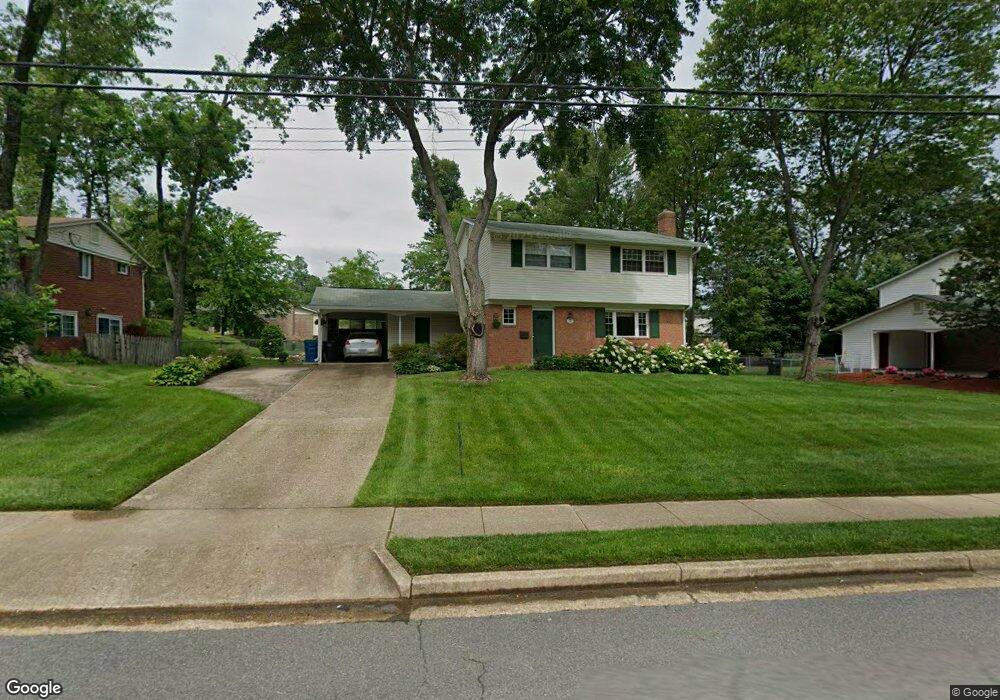
5523 Rolling Rd Springfield, VA 22151
Estimated Value: $726,591 - $780,000
4
Beds
4
Baths
1,590
Sq Ft
$470/Sq Ft
Est. Value
About This Home
This home is located at 5523 Rolling Rd, Springfield, VA 22151 and is currently estimated at $747,898, approximately $470 per square foot. 5523 Rolling Rd is a home located in Fairfax County with nearby schools including Kings Park Elementary School, Kings Glen Elementary School, and Lake Braddock Secondary School.
Ownership History
Date
Name
Owned For
Owner Type
Purchase Details
Closed on
May 31, 2000
Sold by
Peterson James L
Bought by
Weizer Christopher
Current Estimated Value
Home Financials for this Owner
Home Financials are based on the most recent Mortgage that was taken out on this home.
Original Mortgage
$226,598
Outstanding Balance
$79,429
Interest Rate
8.14%
Estimated Equity
$668,469
Create a Home Valuation Report for This Property
The Home Valuation Report is an in-depth analysis detailing your home's value as well as a comparison with similar homes in the area
Home Values in the Area
Average Home Value in this Area
Purchase History
| Date | Buyer | Sale Price | Title Company |
|---|---|---|---|
| Weizer Christopher | $230,000 | -- |
Source: Public Records
Mortgage History
| Date | Status | Borrower | Loan Amount |
|---|---|---|---|
| Open | Weizer Christopher | $226,598 |
Source: Public Records
Tax History
| Year | Tax Paid | Tax Assessment Tax Assessment Total Assessment is a certain percentage of the fair market value that is determined by local assessors to be the total taxable value of land and additions on the property. | Land | Improvement |
|---|---|---|---|---|
| 2025 | $7,701 | $730,850 | $311,000 | $419,850 |
| 2024 | $7,701 | $664,750 | $276,000 | $388,750 |
| 2023 | $7,280 | $645,120 | $276,000 | $369,120 |
| 2022 | $7,270 | $635,750 | $271,000 | $364,750 |
| 2021 | $6,462 | $550,680 | $241,000 | $309,680 |
| 2020 | $6,251 | $528,150 | $236,000 | $292,150 |
| 2019 | $6,023 | $508,910 | $228,000 | $280,910 |
| 2018 | $5,634 | $489,910 | $209,000 | $280,910 |
| 2017 | $5,400 | $465,110 | $195,000 | $270,110 |
| 2016 | $5,388 | $465,110 | $195,000 | $270,110 |
Source: Public Records
Map
Nearby Homes
- 5519 Yorkshire St
- 8621 Kenilworth Dr
- 5835 Fitzhugh St
- 5809 Shana Place
- 5844 Kara Place
- 8526 Forrester Blvd Unit 890
- 5818 Torington Dr Unit 859
- 8519 Westover Ct Unit 763
- 6003 Sherborn Ln
- 8405 Thames St
- 6077 Hollow Hill Ln
- 8358D Dunham Ct Unit 622
- 6027 Bonnie Bern Ct
- 8353D Dunham Ct Unit 642
- 6143 Green Hollow Ct
- 8674 Center Rd Unit 1
- 5207 Capon Hill Place
- 8330 Darlington St Unit 467
- 5931 Queenston St
- 6015 Ticonderoga Ct
- 5521 Rolling Rd
- 5520 Kings Park Dr
- 5518 Kings Park Dr
- 5522 Kings Park Dr
- 5519 Rolling Rd
- 5527 Rolling Rd
- 5516 Kings Park Dr
- 5524 Kings Park Dr
- 5517 Rolling Rd
- 5601 Rolling Rd
- 8918 Bald Hill Place
- 5514 Kings Park Dr
- 5526 Kings Park Dr
- 8916 Bald Hill Place
- 8920 Bald Hill Place
- 5519 Kings Park Dr
- 5595 Blake House Ct
- 5515 Rolling Rd
- 5521 Kings Park Dr
- 5603 Rolling Rd
Your Personal Tour Guide
Ask me questions while you tour the home.