5523 S West Point Rd Ripley, OK 74062
Estimated Value: $273,000 - $324,195
3
Beds
2
Baths
1,332
Sq Ft
$230/Sq Ft
Est. Value
About This Home
This home is located at 5523 S West Point Rd, Ripley, OK 74062 and is currently estimated at $306,732, approximately $230 per square foot. 5523 S West Point Rd is a home located in Payne County with nearby schools including Ripley Elementary School and Ripley High School.
Ownership History
Date
Name
Owned For
Owner Type
Purchase Details
Closed on
Mar 11, 2005
Sold by
Roseere Bob and Roseere Tammy
Bought by
Zetterberg Michael
Current Estimated Value
Home Financials for this Owner
Home Financials are based on the most recent Mortgage that was taken out on this home.
Original Mortgage
$68,382
Outstanding Balance
$34,319
Interest Rate
5.66%
Mortgage Type
Future Advance Clause Open End Mortgage
Estimated Equity
$272,413
Purchase Details
Closed on
Jun 28, 2004
Sold by
Roslers Doris V and Roslers Robert R
Bought by
Roslere Robert R
Create a Home Valuation Report for This Property
The Home Valuation Report is an in-depth analysis detailing your home's value as well as a comparison with similar homes in the area
Home Values in the Area
Average Home Value in this Area
Purchase History
| Date | Buyer | Sale Price | Title Company |
|---|---|---|---|
| Zetterberg Michael | $140,000 | None Available | |
| Roslere Robert R | -- | None Available |
Source: Public Records
Mortgage History
| Date | Status | Borrower | Loan Amount |
|---|---|---|---|
| Open | Zetterberg Michael | $68,382 |
Source: Public Records
Tax History Compared to Growth
Tax History
| Year | Tax Paid | Tax Assessment Tax Assessment Total Assessment is a certain percentage of the fair market value that is determined by local assessors to be the total taxable value of land and additions on the property. | Land | Improvement |
|---|---|---|---|---|
| 2025 | $1,729 | $18,332 | $1,320 | $17,012 |
| 2024 | $1,749 | $17,798 | $1,469 | $16,329 |
| 2023 | $1,749 | $17,280 | $2,502 | $14,778 |
| 2022 | $1,555 | $16,776 | $2,592 | $14,184 |
| 2021 | $1,455 | $16,288 | $2,442 | $13,846 |
| 2020 | $1,422 | $15,813 | $2,644 | $13,169 |
| 2019 | $1,367 | $15,353 | $2,567 | $12,786 |
| 2018 | $1,330 | $14,906 | $2,492 | $12,414 |
| 2017 | $1,321 | $14,472 | $2,213 | $12,259 |
| 2016 | $1,294 | $14,050 | $2,103 | $11,947 |
| 2015 | $1,192 | $14,050 | $2,103 | $11,947 |
| 2014 | $1,164 | $14,050 | $2,103 | $11,947 |
Source: Public Records
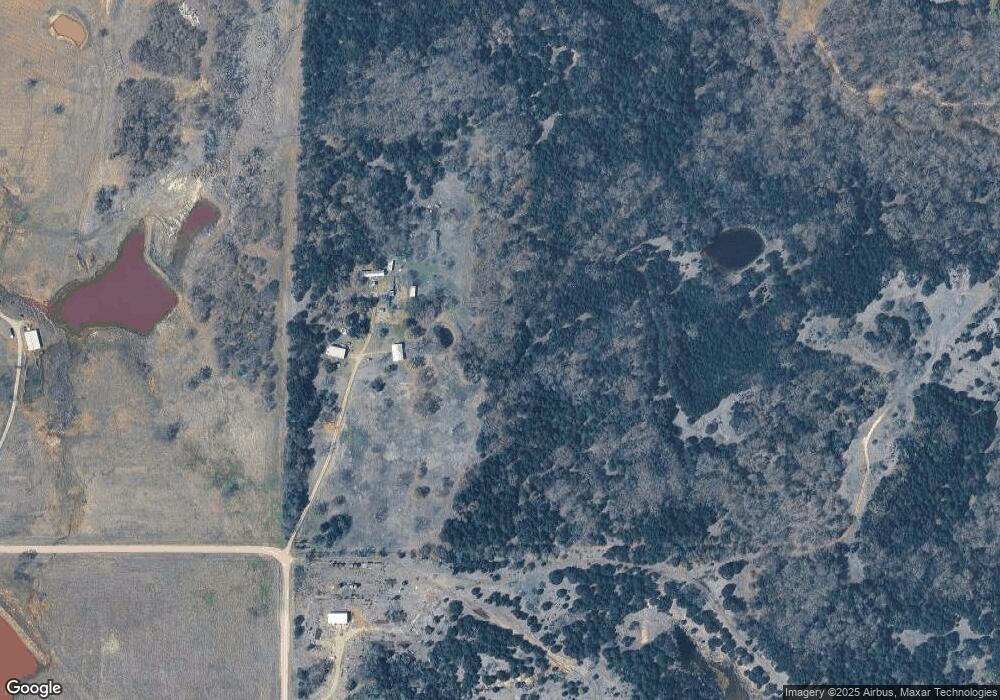
Map
Nearby Homes
- 15418 E 68th St
- 8018 E 44th St Unit 8018 Ew 65 Ripley fo
- 0 E 44th St
- 7515 E0690 Rd
- 15006 E 6th St
- 12506 E Dalton Ave
- 706 S Green Acres Dr
- 160 acres E 6th Ave
- 2810 Ripley Road Hwy
- 0000 Battle Ridge Rd
- 9808 E 19th Ave
- 40 E Mcelroy Rd
- 1000 S Canyon Rd
- Lot 8 Hummingbird Ln
- Lot 7 Hummingbird Ln
- Lot 3 S Hummingbird Ln
- Lot 6 Hummingbird Ln
- 2316 W Grandstaff
- 1218 N Parotte
- Lot 5 Hummingbird Ln