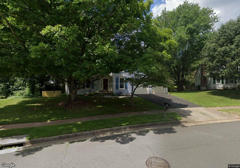
5524 Virgin Rock Rd Centreville, VA 20120
Estimated Value: $762,000 - $795,000
3
Beds
4
Baths
1,844
Sq Ft
$424/Sq Ft
Est. Value
About This Home
This home is located at 5524 Virgin Rock Rd, Centreville, VA 20120 and is currently estimated at $782,297, approximately $424 per square foot. 5524 Virgin Rock Rd is a home located in Fairfax County with nearby schools including Cub Run Elementary, Ormond Stone Middle School, and Westfield High School.
Ownership History
Date
Name
Owned For
Owner Type
Purchase Details
Closed on
Apr 2, 2001
Sold by
Bruni Kenneth B
Bought by
Ford Kevin J
Current Estimated Value
Home Financials for this Owner
Home Financials are based on the most recent Mortgage that was taken out on this home.
Original Mortgage
$227,600
Outstanding Balance
$84,089
Interest Rate
7.05%
Estimated Equity
$698,208
Create a Home Valuation Report for This Property
The Home Valuation Report is an in-depth analysis detailing your home's value as well as a comparison with similar homes in the area
Home Values in the Area
Average Home Value in this Area
Purchase History
| Date | Buyer | Sale Price | Title Company |
|---|---|---|---|
| Ford Kevin J | $284,500 | -- |
Source: Public Records
Mortgage History
| Date | Status | Borrower | Loan Amount |
|---|---|---|---|
| Open | Ford Kevin J | $227,600 |
Source: Public Records
Tax History Compared to Growth
Tax History
| Year | Tax Paid | Tax Assessment Tax Assessment Total Assessment is a certain percentage of the fair market value that is determined by local assessors to be the total taxable value of land and additions on the property. | Land | Improvement |
|---|---|---|---|---|
| 2025 | $7,613 | $713,650 | $305,000 | $408,650 |
| 2024 | $7,613 | $657,120 | $290,000 | $367,120 |
| 2023 | $7,350 | $651,340 | $290,000 | $361,340 |
| 2022 | $6,904 | $603,770 | $275,000 | $328,770 |
| 2021 | $6,211 | $529,300 | $230,000 | $299,300 |
| 2020 | $6,014 | $508,170 | $230,000 | $278,170 |
| 2019 | $5,754 | $486,190 | $220,000 | $266,190 |
| 2018 | $5,596 | $472,810 | $215,000 | $257,810 |
| 2017 | $5,318 | $458,080 | $210,000 | $248,080 |
| 2016 | $5,307 | $458,080 | $210,000 | $248,080 |
| 2015 | $4,920 | $440,870 | $210,000 | $230,870 |
| 2014 | $4,704 | $422,450 | $200,000 | $222,450 |
Source: Public Records
Map
Nearby Homes
- 5515 Belle Pond Dr
- 5515 Buggy Whip Dr
- 14286 Patriarch Ct
- 5417 Gladewright Dr
- 5570 Village Center Dr
- 14600 Stone Range Dr
- 14201 Braddock Rd
- 14435 Salisbury Plain Ct
- 5705 Croatan Ct
- 14617 Woodspring Ct
- 5834 Stone Ridge Dr
- 14722 Winterfield Ct
- 14329 Little Rocky Mountain Ct
- 14719 Winterfield Ct
- 14608 Battery Ridge Ln
- 5127 Woodfield Dr
- 14621 Stream Pond Dr
- 14415 Glencrest Cir Unit 112
- 5155 Woodfield Dr
- 5100 Castle Harbor Way Unit 117
- 5522 Virgin Rock Rd
- 5528 Virgin Rock Rd
- 5527 Virgin Rock Rd
- 5520 Virgin Rock Rd
- 5523 Virgin Rock Rd
- 5532 Virgin Rock Rd
- 14404 Filly Ct
- 5530 Virgin Rock Rd
- 5518 Virgin Rock Rd
- 5521 Virgin Rock Rd
- 5512 Sequoia Farms Dr
- 5510 Sequoia Farms Dr
- 14402 Filly Ct
- 5518 Sequoia Farms Dr
- 14403 Haystack Ct
- 5508 Sequoia Farms Dr
- 5519 Virgin Rock Rd
- 5521 Belle Pond Dr
- 5516 Virgin Rock Rd
- 5520 Sequoia Farms Dr