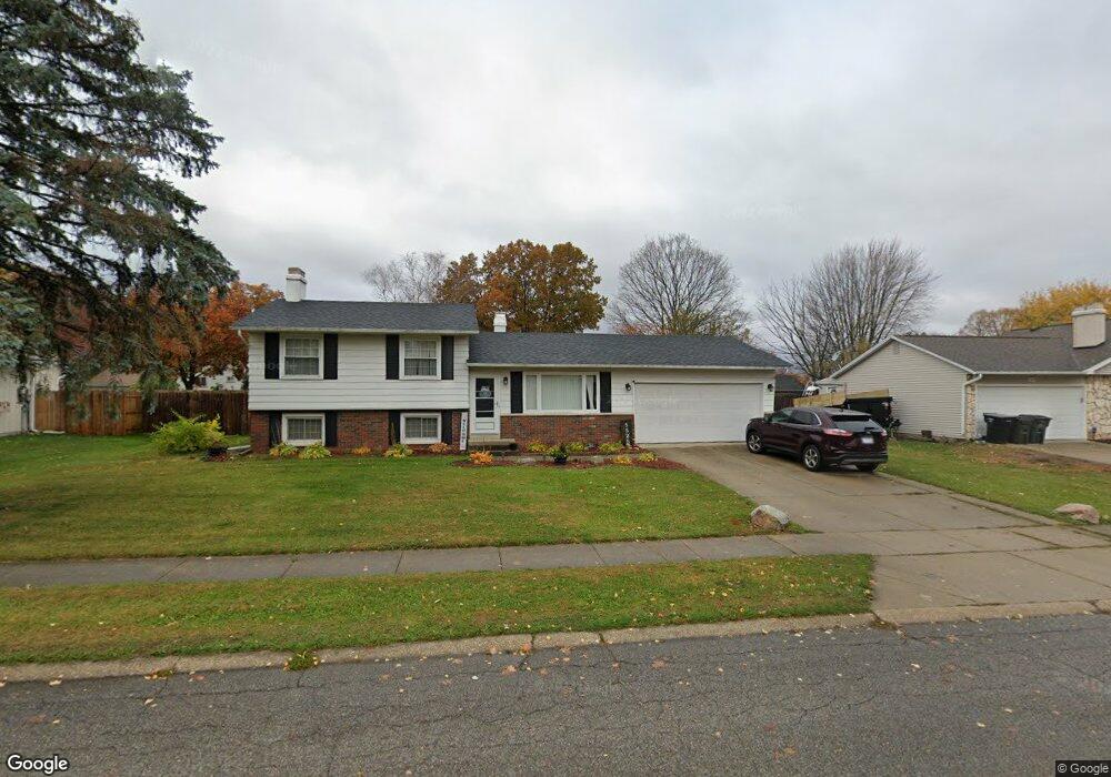
5525 Cape Cod Ln South Bend, IN 46614
Estimated Value: $262,495 - $286,000
4
Beds
2
Baths
1,828
Sq Ft
$151/Sq Ft
Est. Value
About This Home
This home is located at 5525 Cape Cod Ln, South Bend, IN 46614 and is currently estimated at $275,874, approximately $150 per square foot. 5525 Cape Cod Ln is a home located in St. Joseph County with nearby schools including Marshall Traditional School, Clay Intermediate Center, and Monroe Elementary School.
Ownership History
Date
Name
Owned For
Owner Type
Purchase Details
Closed on
Aug 4, 2016
Sold by
Young Melissa E
Bought by
Young Bryan R
Current Estimated Value
Purchase Details
Closed on
May 22, 2006
Sold by
Burnett Sally J and Hubbard Sally J
Bought by
Young Bryan R and Young Melissa E
Home Financials for this Owner
Home Financials are based on the most recent Mortgage that was taken out on this home.
Original Mortgage
$128,040
Outstanding Balance
$72,783
Interest Rate
6.56%
Mortgage Type
New Conventional
Estimated Equity
$203,091
Create a Home Valuation Report for This Property
The Home Valuation Report is an in-depth analysis detailing your home's value as well as a comparison with similar homes in the area
Purchase History
| Date | Buyer | Sale Price | Title Company |
|---|---|---|---|
| Young Bryan R | -- | Fidelity National Title | |
| Young Bryan R | -- | Metropolitan Title In Llc |
Source: Public Records
Mortgage History
| Date | Status | Borrower | Loan Amount |
|---|---|---|---|
| Open | Young Bryan R | $128,040 |
Source: Public Records
Tax History
| Year | Tax Paid | Tax Assessment Tax Assessment Total Assessment is a certain percentage of the fair market value that is determined by local assessors to be the total taxable value of land and additions on the property. | Land | Improvement |
|---|---|---|---|---|
| 2025 | $2,488 | $238,300 | $41,700 | $196,600 |
| 2024 | $2,061 | $208,600 | $41,700 | $166,900 |
| 2023 | $2,018 | $173,000 | $41,700 | $131,300 |
| 2022 | $2,051 | $173,000 | $41,700 | $131,300 |
| 2021 | $1,702 | $141,900 | $13,700 | $128,200 |
| 2020 | $1,702 | $141,900 | $13,700 | $128,200 |
| 2019 | $1,462 | $141,900 | $13,700 | $128,200 |
| 2018 | $1,712 | $143,300 | $13,700 | $129,600 |
| 2017 | $1,399 | $114,800 | $11,200 | $103,600 |
| 2016 | $1,463 | $117,800 | $11,200 | $106,600 |
| 2014 | $1,368 | $113,100 | $8,200 | $104,900 |
Source: Public Records
Map
Nearby Homes
- 1809 Elizabethan Ct
- 1473 Cambridge Dr
- 1372 Berkshire Dr
- 1811 Somersworth Dr
- 5803 Aberdeen Dr
- 6094 Lansdown Ct
- 4914 Craig Rd
- 5605 Raleigh Dr
- 1707 Thornhill Dr
- 1713 Thornhill Dr
- 1719 Thornhill Dr
- 1725 Thornhill Dr
- 4830 York Rd
- 5914 Miami St
- 17866 Bellows Falls Dr
- 6233 Regent Ct
- 1978 Greenock St
- 5141 Finch Dr
- 806 Copper Field Dr
- 821 Eagle Cove Dr
- 5535 Cape Cod Ln
- 5515 Cape Cod Ln
- 5514 York Rd
- 5522 York Rd
- 5504 York Rd
- 5524 Cape Cod Ln
- 5534 Cape Cod Ln
- 5601 Cape Cod Ln
- 5501 Cape Cod Ln
- 5514 Cape Cod Ln
- 5530 York Rd
- 5442 York Rd
- 5611 Cape Cod Ln
- 5433 Colonial Ln
- 5602 York Rd
- 5525 Colonial Ln
- 5423 Colonial Ln
- 5523 Colonial Ln
- 5614 Cape Cod Ln
- 5531 Colonial Ln
Your Personal Tour Guide
Ask me questions while you tour the home.