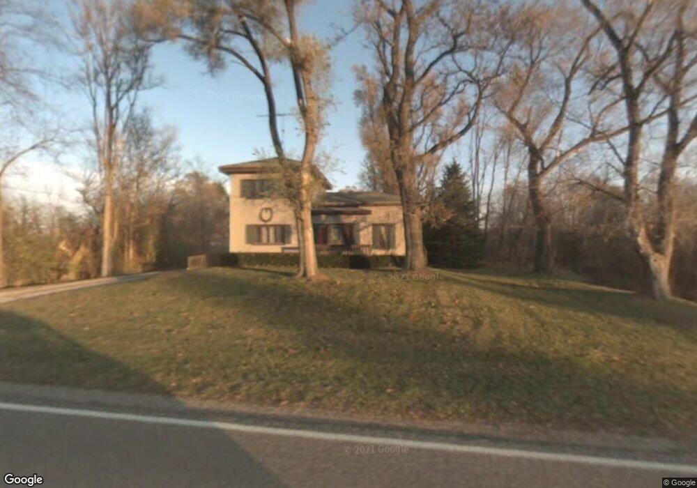
5525 State Rd Hillsdale, MI 49242
Estimated Value: $201,051 - $312,000
--
Bed
1
Bath
958
Sq Ft
$261/Sq Ft
Est. Value
About This Home
This home is located at 5525 State Rd, Hillsdale, MI 49242 and is currently estimated at $250,013, approximately $260 per square foot. 5525 State Rd is a home located in Hillsdale County with nearby schools including North Adams-Jerome Elementary School and North Adams-Jerome Middle/High School.
Ownership History
Date
Name
Owned For
Owner Type
Purchase Details
Closed on
Nov 16, 2010
Sold by
Lewis Sonya A and Cramer Sonya A
Bought by
Cramer Michael I
Current Estimated Value
Home Financials for this Owner
Home Financials are based on the most recent Mortgage that was taken out on this home.
Original Mortgage
$80,000
Outstanding Balance
$52,567
Interest Rate
4.19%
Mortgage Type
New Conventional
Estimated Equity
$197,446
Purchase Details
Closed on
May 7, 1999
Sold by
Winters Sandra Ann
Bought by
Cramer Michael I and Cramer Sonya A
Purchase Details
Closed on
Jul 7, 1988
Sold by
Winters Milton C
Bought by
Winters Sandra Ann
Create a Home Valuation Report for This Property
The Home Valuation Report is an in-depth analysis detailing your home's value as well as a comparison with similar homes in the area
Home Values in the Area
Average Home Value in this Area
Purchase History
| Date | Buyer | Sale Price | Title Company |
|---|---|---|---|
| Cramer Michael I | -- | Midstate Title | |
| Cramer Michael I | $96,900 | -- | |
| Winters Sandra Ann | -- | -- |
Source: Public Records
Mortgage History
| Date | Status | Borrower | Loan Amount |
|---|---|---|---|
| Open | Cramer Michael I | $80,000 |
Source: Public Records
Tax History Compared to Growth
Tax History
| Year | Tax Paid | Tax Assessment Tax Assessment Total Assessment is a certain percentage of the fair market value that is determined by local assessors to be the total taxable value of land and additions on the property. | Land | Improvement |
|---|---|---|---|---|
| 2025 | $1,232 | $92,500 | $0 | $0 |
| 2024 | $627 | $80,700 | $0 | $0 |
| 2023 | $598 | $77,200 | $0 | $0 |
| 2022 | $1,121 | $69,800 | $0 | $0 |
| 2021 | $1,087 | $65,600 | $0 | $0 |
| 2020 | $1,080 | $64,200 | $0 | $0 |
| 2019 | $1,082 | $55,700 | $0 | $0 |
| 2018 | $1,028 | $51,600 | $0 | $0 |
| 2017 | $990 | $51,420 | $0 | $0 |
| 2016 | $983 | $46,740 | $0 | $0 |
| 2015 | $503 | $46,740 | $0 | $0 |
| 2013 | $488 | $51,790 | $0 | $0 |
| 2012 | $476 | $43,460 | $0 | $0 |
Source: Public Records
Map
Nearby Homes
- 5435 State Rd
- 5560 Dewey Rd
- 4219 Kim Dr
- 3189 N Lake Pleasant Rd
- 4794 Keith Rd
- 4745 Keith Rd
- 2331 Slater Rd
- 4545 State Rd
- 5160 Barker Rd
- 6333 Brown Rd
- 8820 S Lake Pleasant Rd
- V/L Half Moon Lake Rd
- 0 Half Moon Lake Rd Unit 23668713
- 2360 Osseo Rd S
- 0 Combs Rd
- 0 Moscow Rd
- 133 State St
- 1140 Lochaven Cir Unit 10B
- 1160 Lochaven Cir
- 1136 Lochaven Cir